Route: Cleveland Metro Parks: South Chagrin Reservation & Hawthorn Parkway Hike & Bike Trail (OH)

Submitted by AlRob11 on Sat, 02/05/2022 - 04:56pm
Location
Ohio, US
Distance
12.56 mi
Description

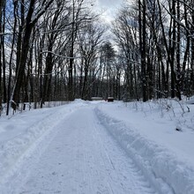
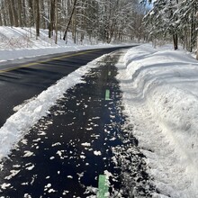
This 'trail' is a 100% paved footpath with green blazes down the middle of the path.

Caution - There are many busy road crossings.

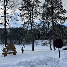
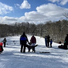
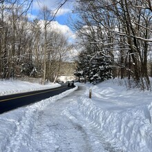
Begin at sulfur springs parking area, at the corner stop sign, by the sledding hill, begin on the trail toward Henry church rock parking area, crossing a bridge about 200yards into the trail - see photo.

Once you pass the Henry Church Rock Parking area, continue up the hill on hawthorn parkway, you will cross Arbor Lane, shortly after, the path crosses the road.

Continue up the hill on a long ascent - cross SOM center and continue thru a suburb/housing area, still on the paved with green blaze path.

You will pass Harper ridge picnic area, cross Harper Road, you will continue over 422 (highway), cross Cannon road. Go over an overpass with a railroad under it.

Next cross 43 (Aurora road),  this is Bedford Reservation. a sledding hill will be on your right, further down Shadow Lake Picnic area and Lake on your right. Follow until Richmond road, turn around there and come back on the same path.

Once you return to the Hawthorn parkway/Arbor lane/Sulfur springs intersection, head down toward sulfur springs, with the workout stations to your right as you head down the steep hill to the parking area/sledding hill. El Fin.

You can also run the out & back starting at the other end (or anywhere, really).

GPS Track

Comments

Route is really easy to follow and straightforward.  The hardest part is timing the road crossings.  Just be sure to stay on the paved footpath and you can't go wrong.  Put up a solid time on the 3rd, but I'd like to keep improving it given the proximity to my house.