Location
Pennsylvania,
US
Distance
9.86 mi
Vertical Gain
69 ft
Description
GPS Track
Coal and Coke Trail.gpx140.62 KB
FKTs
Male
| Dean Banko | 30m 56s |
| Dean Banko | 31m 35s | ||||
| Matt Kapelewski, Scott Kapelewski | 41m 15s |
Male
| Dean Banko | 1h 6m 3s |
| Dean Banko | 1h 6m 26s | ||||
| Matt Kapelewski, Scott Kapelewski | 1h 25m 52s |
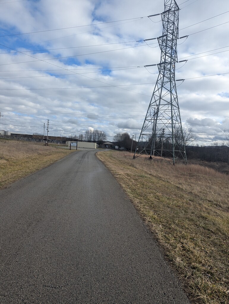
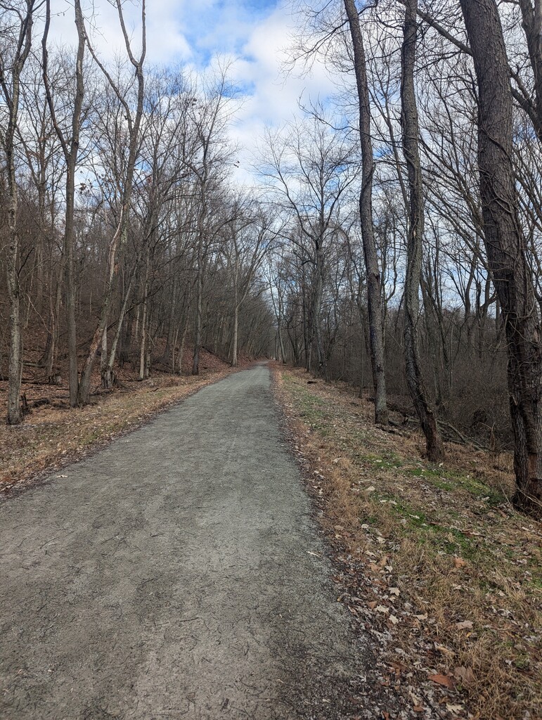
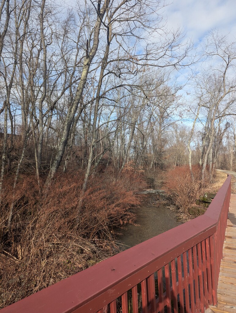
Images