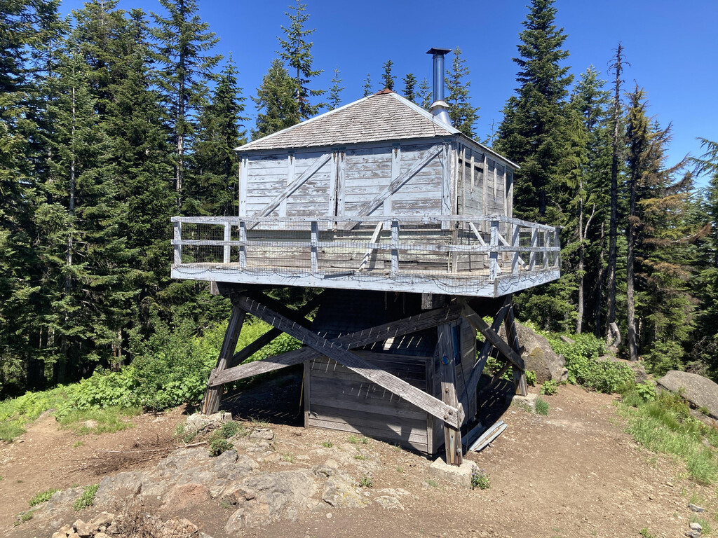
Location
Oregon,
US
Distance
7.6 mi
Vertical Gain
3,179 ft
Description
GPS Track
Devil's Peak.gpx730.9 KB
FKTs
Male
Female
| Laura Paschke | 1h 1m 51s |
Male
Female
| Laura Paschke | 1h 45m 23s |
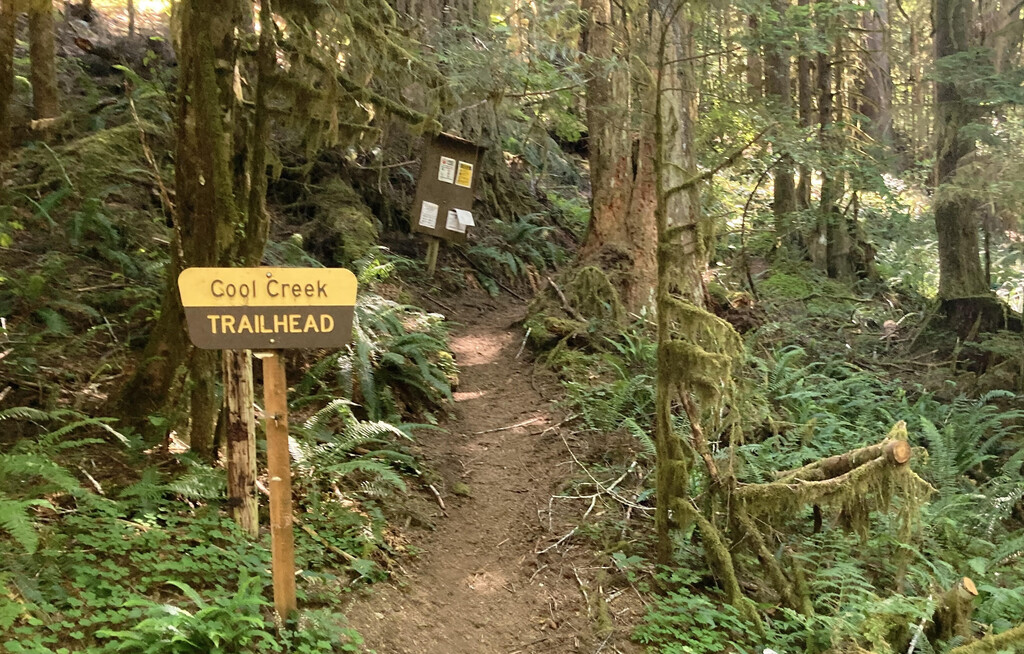
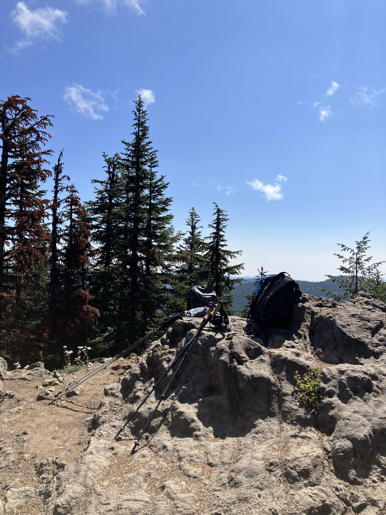
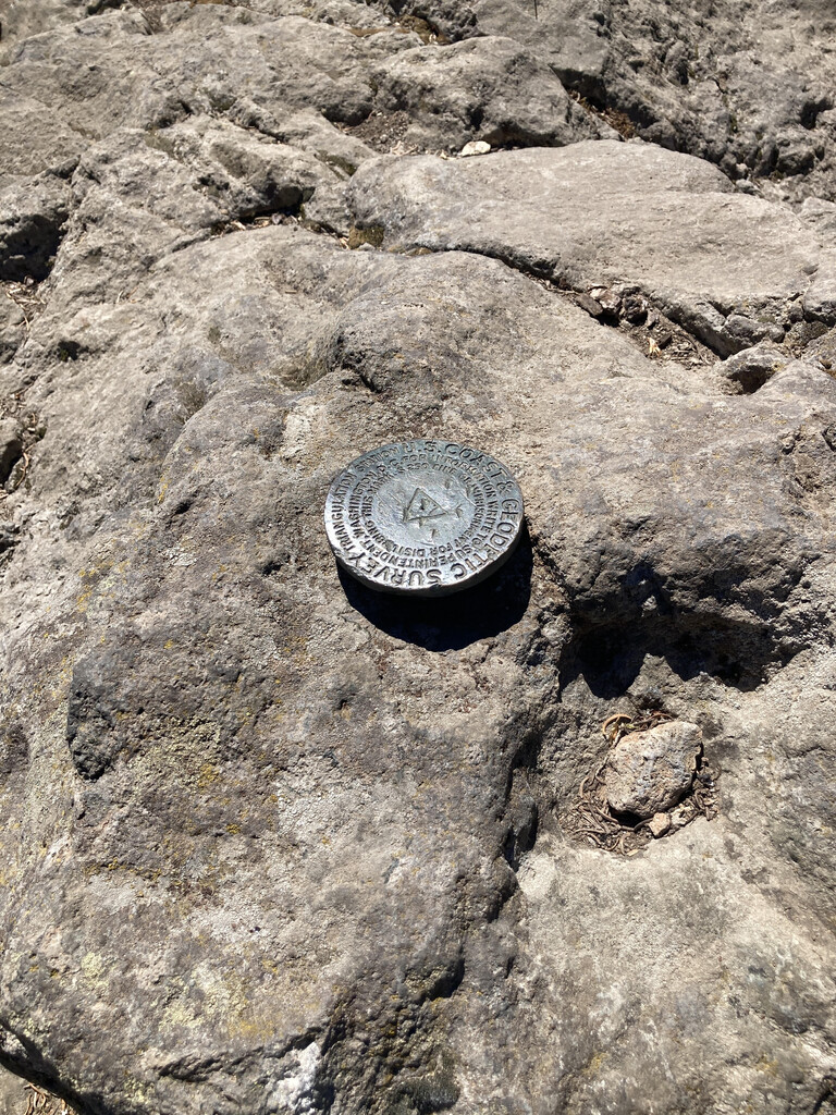
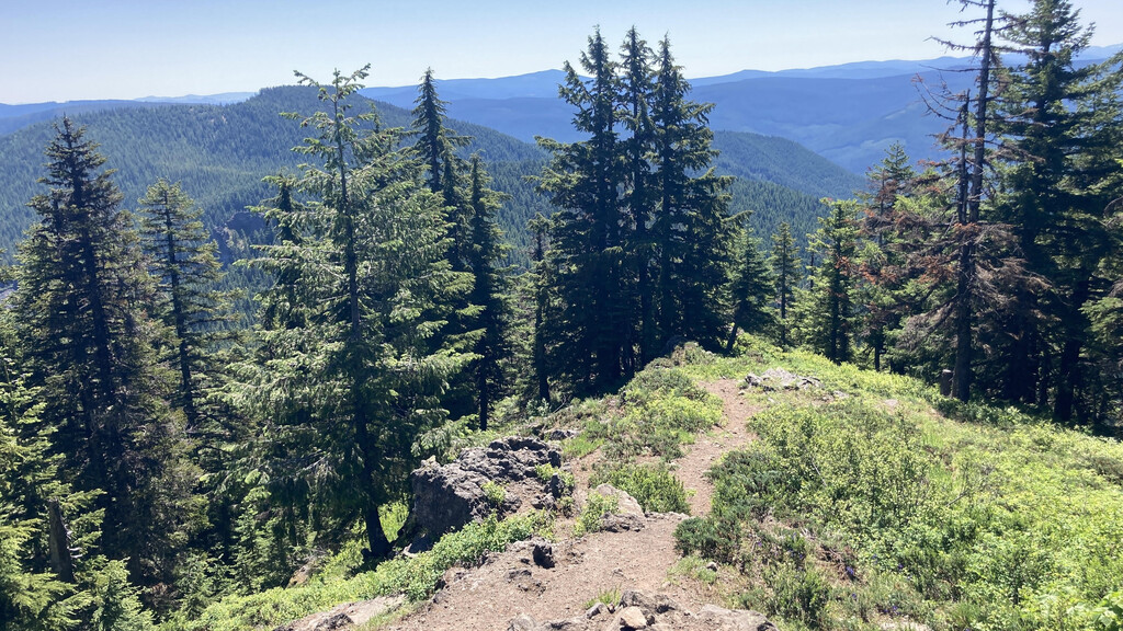
Images