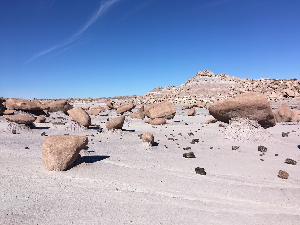
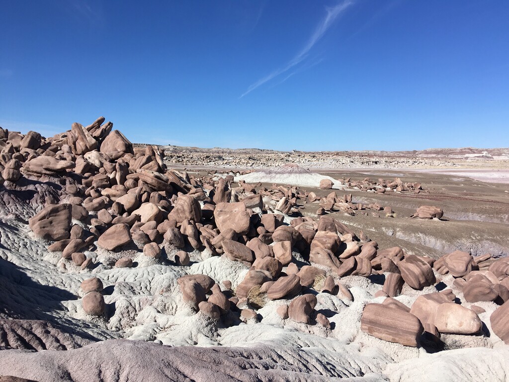
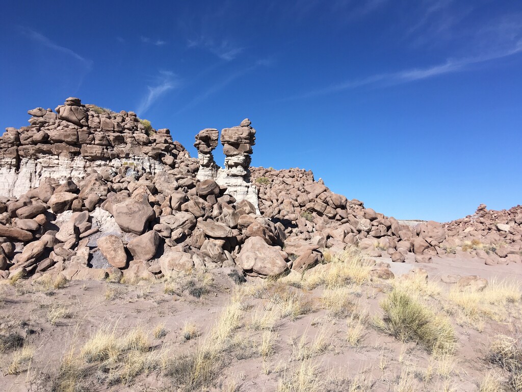
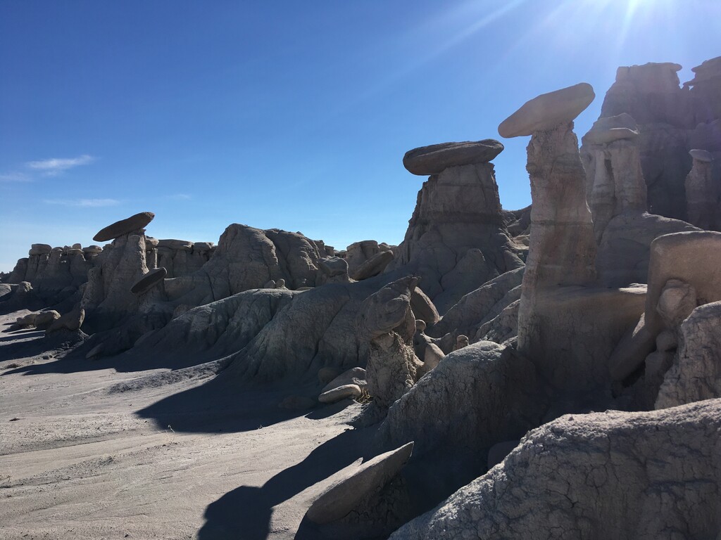
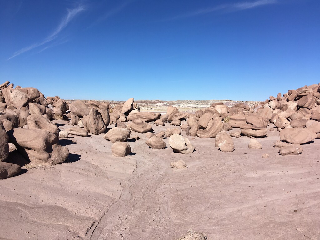
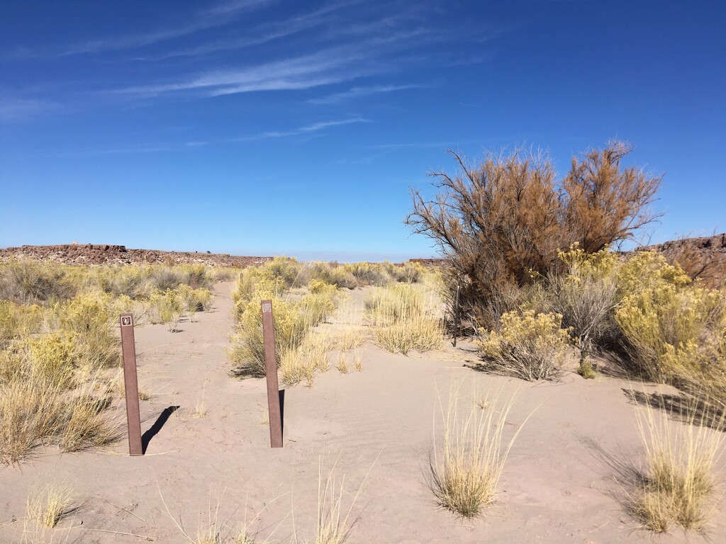
The Devil’s Playground Loop is located in a remote corner of Petrified Forest National Park, in northeast Arizona. This part of the park has hoodoos and other magical rock formations. They have been formed mainly by erosion and are highlighted by bands of blue, purple, and gray. The 2 page park pamphlet for this loop (which doesn’t appear to be online) says that it starts just past the Lithodendron Wash, next to the 2 brown NPS signs (pictured below). The gpx file should be taken as a general guide. The trail is pretty well defined and intuitive except for a small section at the start and a couple areas near the hoodoos that allow for some exploration. There is a (usually) dry falls on the northwest side of the loop - as part of the FKT you should run the short spur to the base of the dry falls.
This loop has a limited number of permits that are currently released every Wednesday, in person. It’s not terribly difficult to get a permit since the rock formations aren’t very close to a road; there were two left when I visited on a Thursday. The last section of the road in isn’t great but I made it in and out with a Corolla. This is one of those routes where you’ll want to go back and take more pictures.
http://npshistory.com/brochures/pefo/devils-playground.pdf
https://www.alltrails.com/explore/trail/us/arizona/devils-playground-loop?mobileMap=false&ref=sidebar-static-map