Location
Utah,
US
Distance
77 mi
Vertical Gain
20,000 ft
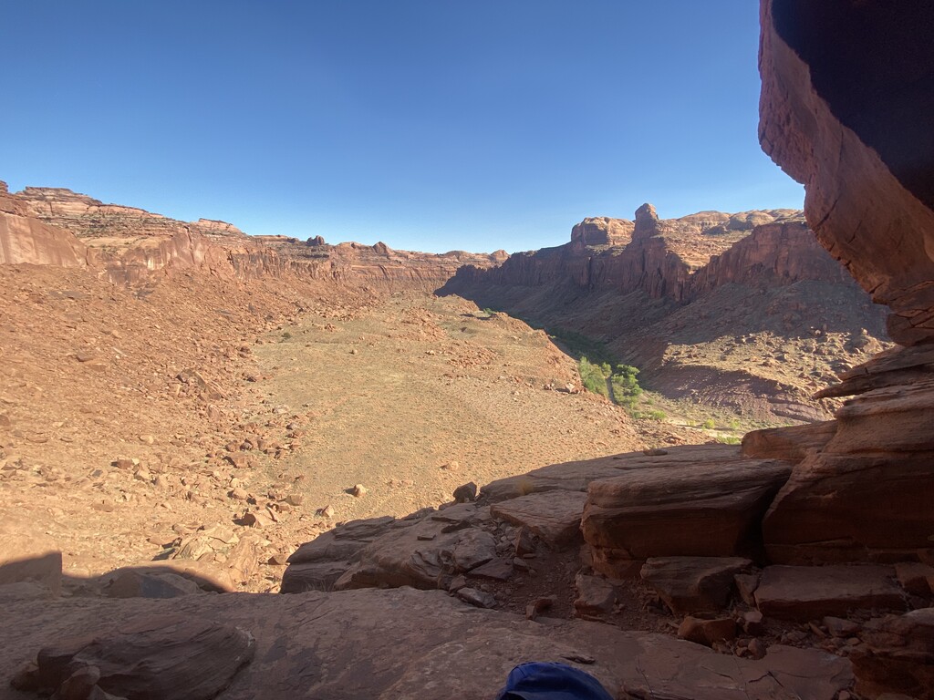
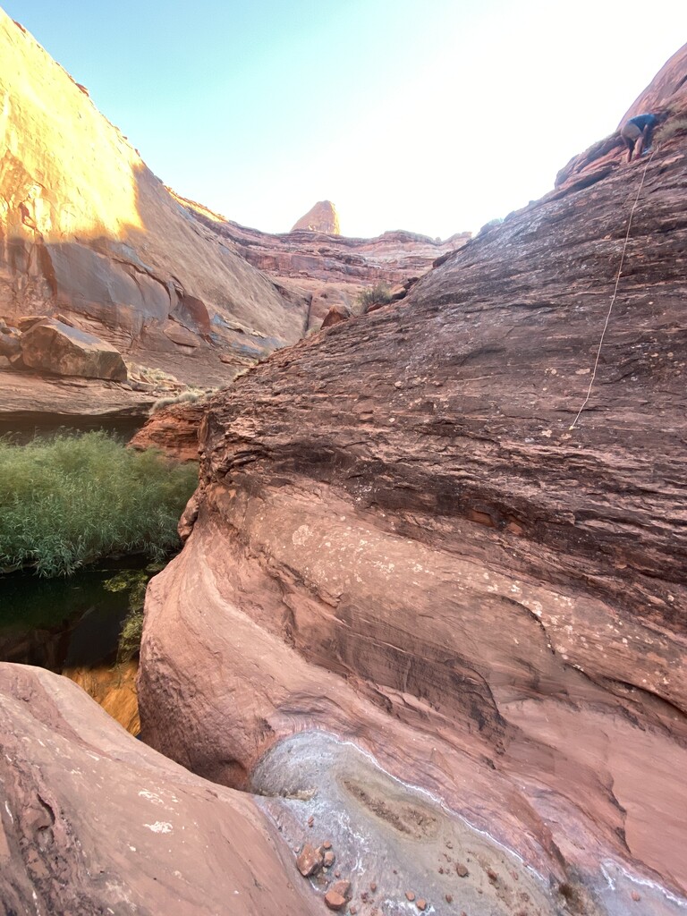
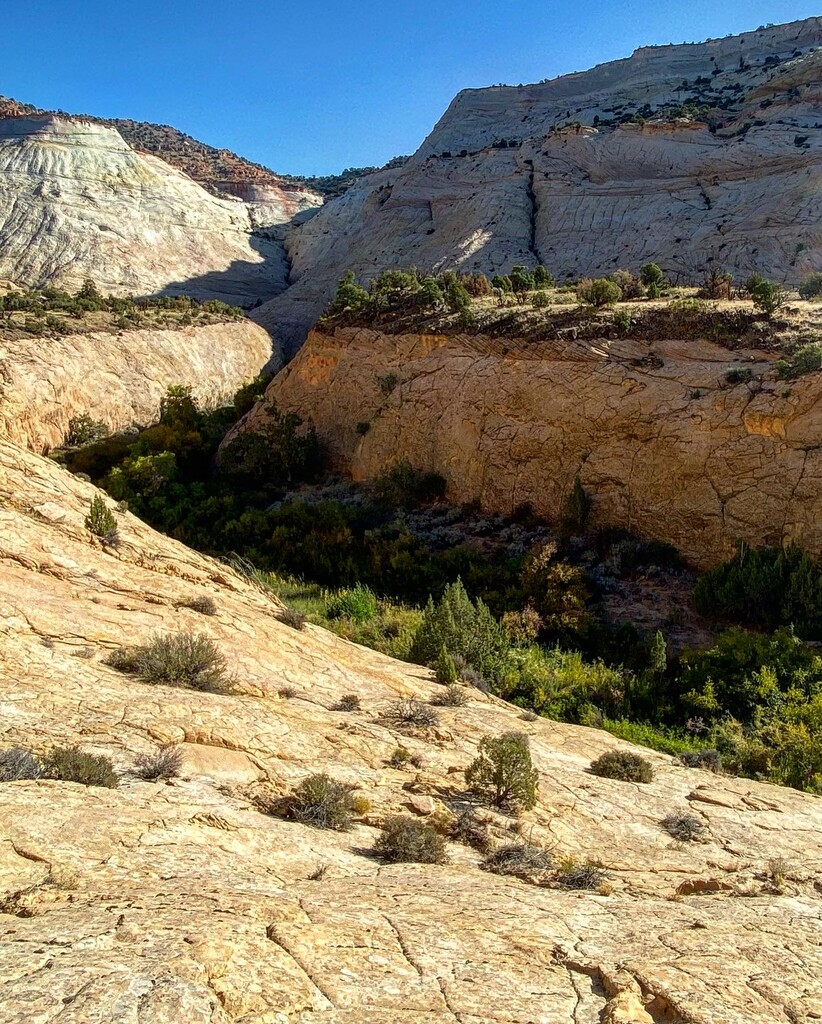
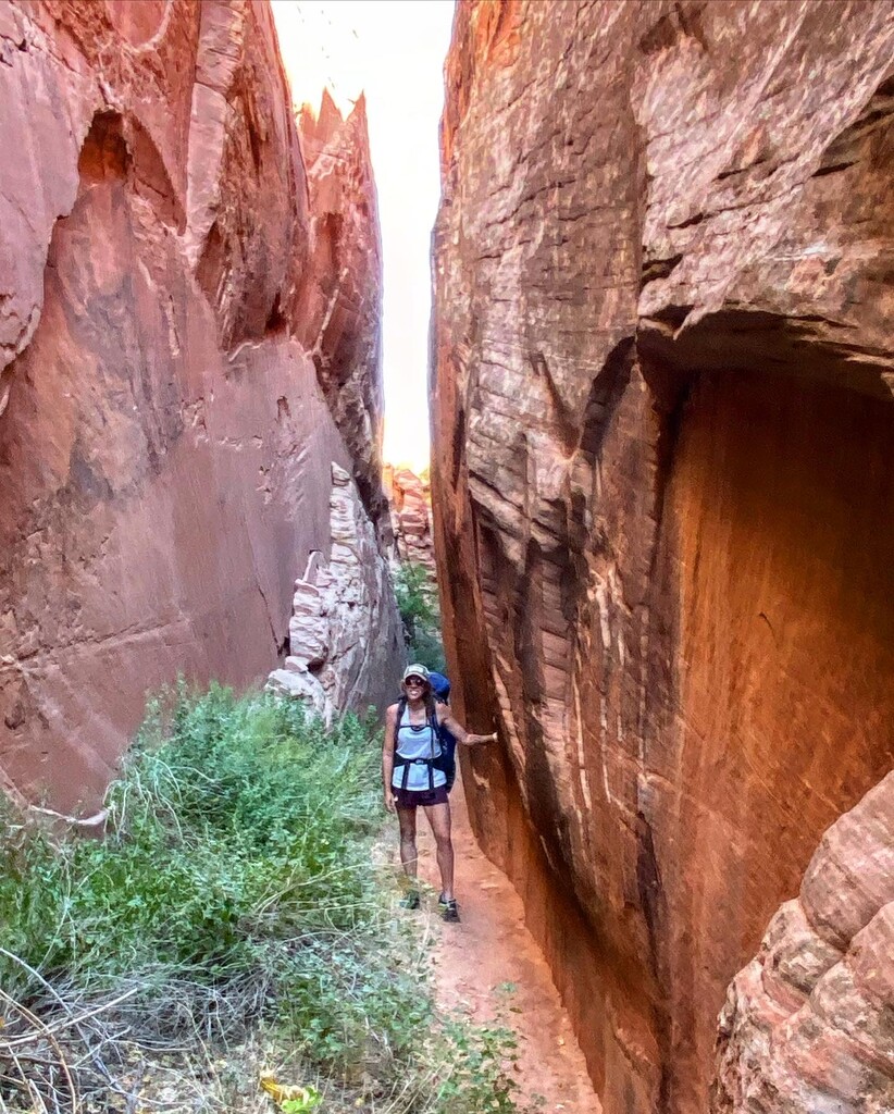
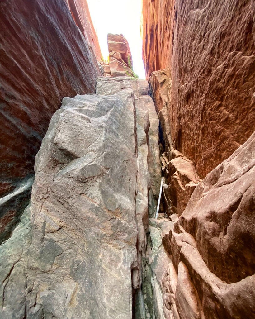
Description
GPS Track
Allen’s Escalante Overland Route.gpx334.54 KB
FKTs
Male
Mixed-gender team
| Michael Puett | 2d 15h 37m 0s |
| Emily Keddie, Garrett Guinn | 4d 7h 52m 0s |
Images


Comments
Thank you Emily and Garret for setting up this route!
I am writing in hopes of finding a partner for this route next year, south to north, including Ichibod, Hydra, Shofar which I have scouted the route for. Please send me an email if interested: mcpc3839@gmail.com.
Goal is route completion in 3-4 days, going in April/May when the days are longer and temps lower compared with fall season.
Some crux passages, especially in optional category, are more difficult going NOBO but you probably know this
Im not sure which passages you mean. I did the slot climb out of fold.
Ill be attempting this next week southbound, mainly because I still have a sedan. But I wanted to go NOBO simply because of where I will be at night.. going SOBO Ill be running to get past the class 3 cliff traverse going into fold canyon before sunset. Also I would have the bigger more intimidating area (fold --> cyote) behind me if I become more sleep deprived going NOBO. Of course the rivers flow south, so that is another factor.
But Im pretty sure it can be done either direction, no issues.
Tracking for my attempt: https://maps.findmespot.com/s/1JM0
I'll start Monday 4/22. Excited but also very nervous/anxious. Ill be using Emily and Garrets GPS track (thank you for that) for the first half then prior scouting for Scorpion --> Cyote. Im nervous cause of where Ill be night 2. Aiming to get past the scary cliff traverse before sunset of night 2. If I cant make it past before sundown Im in no way going to do that at night! Will be stuck until sunrise day 3.
Will take it one section at a time! Beautiful area but an ass kicker even if you take it slow! So may as well go fast. Peace!