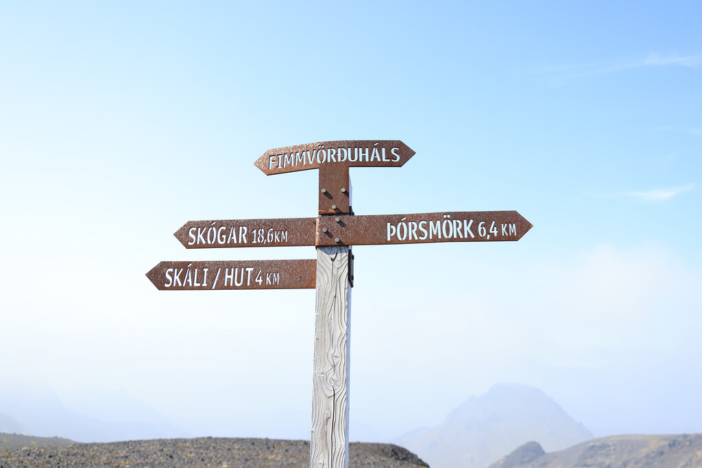
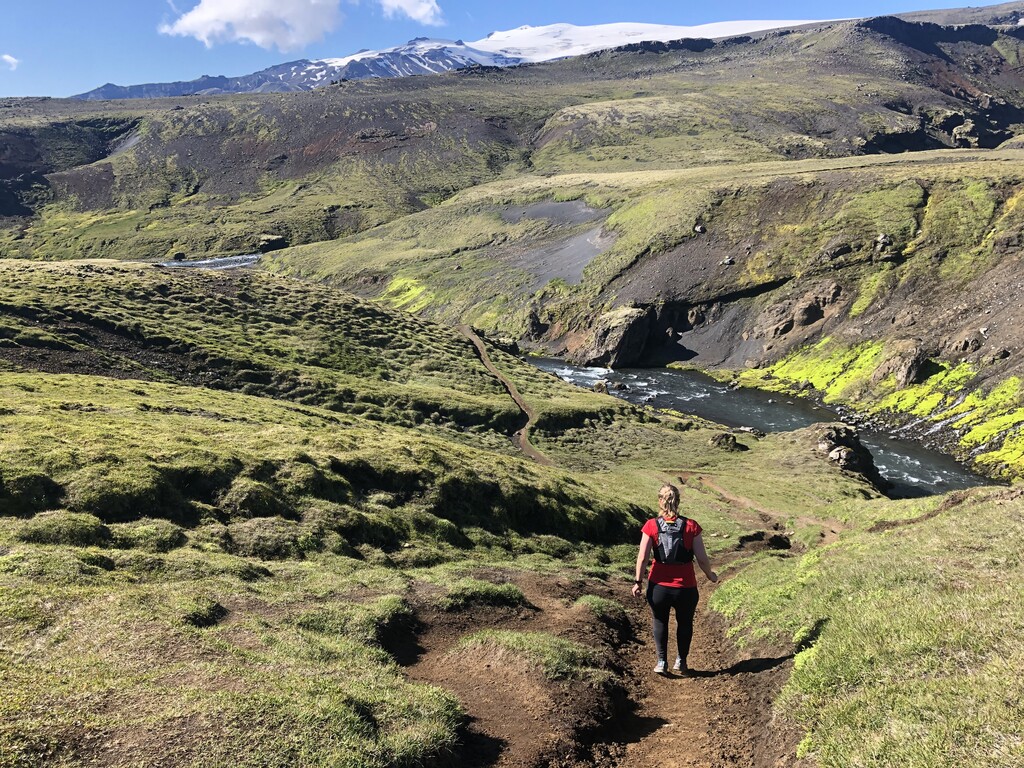
The route across Fimmvörðuháls lies between two glaciers, Eyjafjallajökull and Mýrdalsjökull, and connects Skógar to Þórsmörk.
This is one of the most popular hiking trails in Iceland.
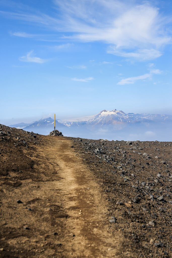
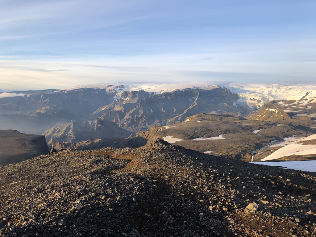
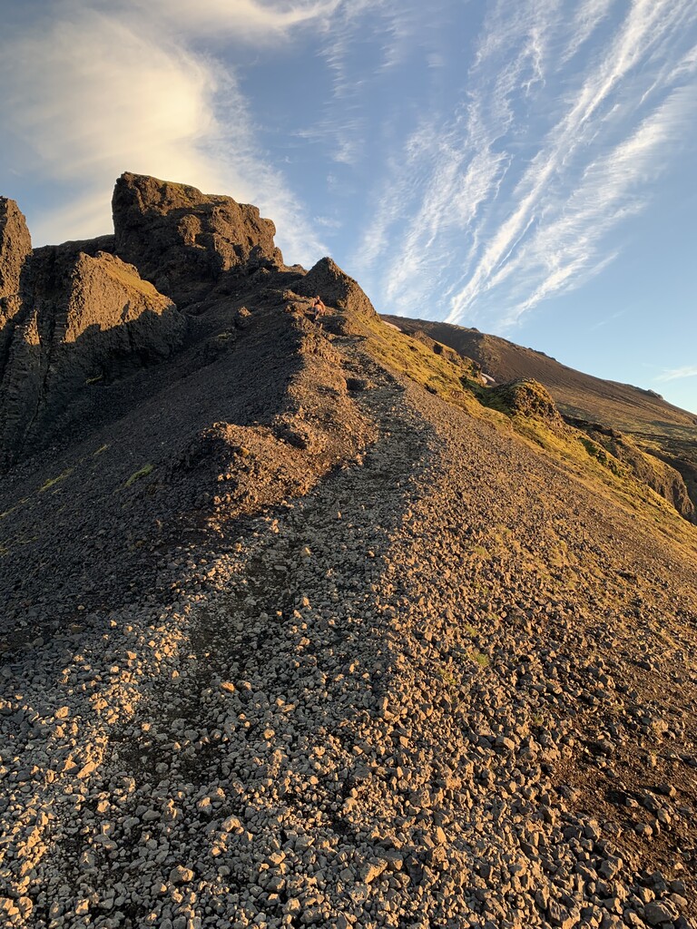
The route is mostly single track trail but with some sections on rough gravel roads. The highest point of the route is at around 1100 m above sea level. At the highest point the route passes by two craters which were formed in an eruption in year 2010 called Magni and Móði.
One can expect snow on parts of the route in any season because of the elevation and proximity to the two glaciers on either hand.
This out and back version of Fimmvörðuháls is popular amongst ultra trail runners because the starting point Skógar is easily accessible from the main road, while Þórsmörk is only accessible on special 4x4 jeeps.
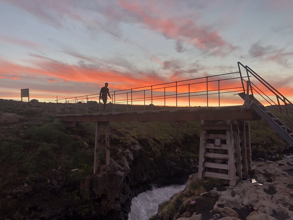
The start of the trail is at the service center/toilets at Skógarfoss waterfall, and the return point is the Hut in Básar Þórsmörk
For more information on this route see for example:
https://www.fi.is/en/hiking-trails/trails/fimmvorduhals
Comments
Hi! Karl Tellier and I are going to attempt the Fimmvörðuháls Trail tomorrow.
Hi! My girlfriend Melanie Martel and I will attempt this trail unsupported tomorrow morning! We hope the weather will be on our side…