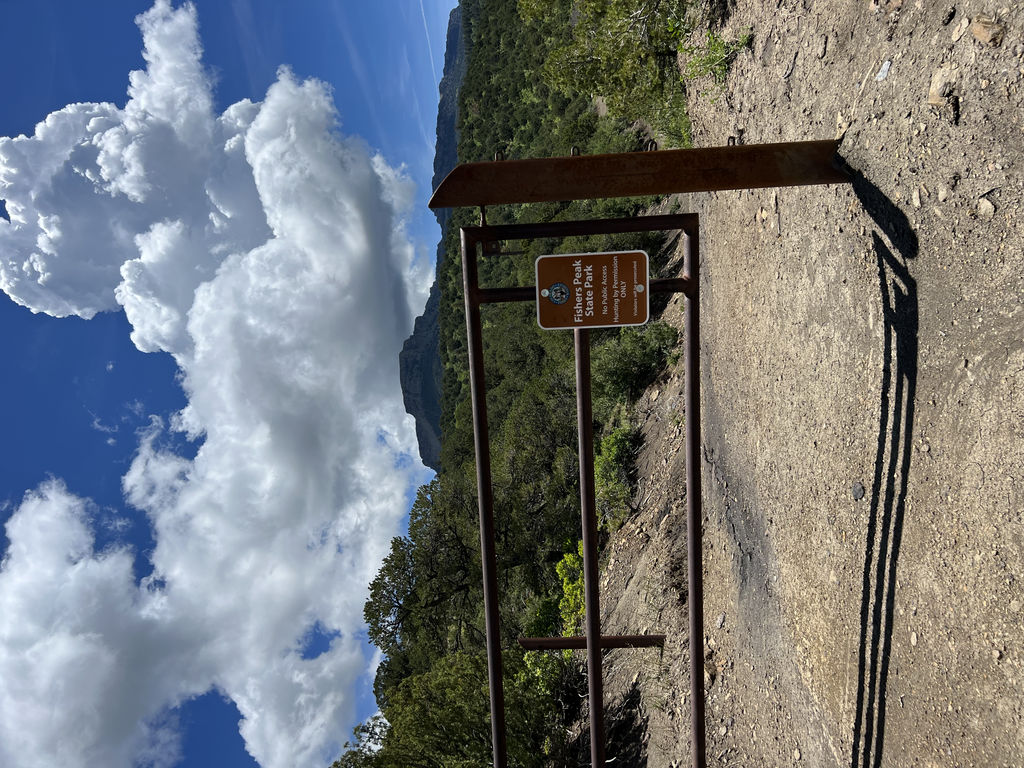
Fishers Peak State Park, south of Trinidad, Colorado close to the New Mexico border, is Colorado's newest state park (as of June 2023). The 19,200 acre park connects grasslands to the east with foothills and mountains to the west, and serves as an important corridor for wildlife movement. The park provides habitat for large native species such as elk, mule deer, white-tailed deer, mountain lion, and black bear. Because Fishers State Park had been under private ownership up until 2019, much of the area remains undisturbed, providing significant opportunities to conserve and protect natural resources. Fishers Peak at 9,633 feet dominates the landscape and is one of the most iconic sights in southern Colorado.
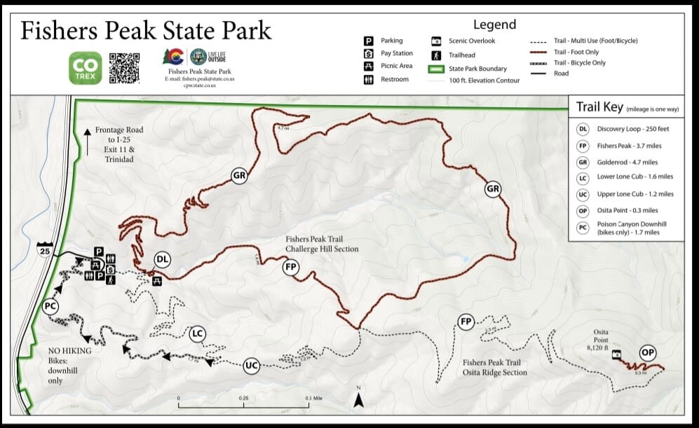
The route itself starts at the gate at the main parking lot, makes a quick left onto the Goldenrod Trail and heads mostly uphill for about 4.7 miles. Much of the Goldenrod Trail has tree or foliage cover. At one point toward the end of the Goldenrod Trail the old road veers left. Stay right at this Y onto single track trail with a small hiker post. At the end of the Goldenrod Trail there is a major trail and dirt road intersection. Go right onto the Fishers Peak Trail / Challenge Hill Section. It is a screaming downhill for most of the way back to the parking lot.
Fishers Peak State Park is a gem, and well worth checking out if you're in the area or passing through along I-25.