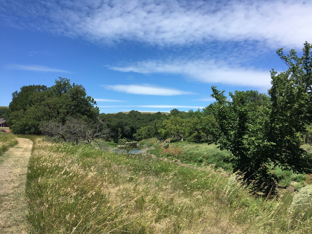
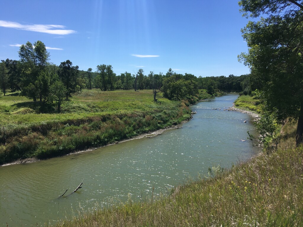
Fort Ransom State Park is located on the Sheyenne River, 30 miles south of Valley City. The Sheyenne River Valley is one of the more scenic areas in eastern North Dakota, surrounded by gently rolling farms and woodlands. Fort Ransom itself was built in 1867 to protect settlers and railroad workers. The fort was home to a guardhouse, barracks, storehouses, stables, a granary, a bakery, and a hospital. By 1872 the fort was dismantled and moved northwest to build Fort Seward at Jamestown.
Fort Ransom State Park has more than 20 miles of trail. Most are open to running, horseback riding, biking, cross-country skiing and snowshoeing. The North Country National Scenic Trail runs north and south through the park. The only map I found that accurately depicts all of the trails in the park is the one produced by the park, the third link below.
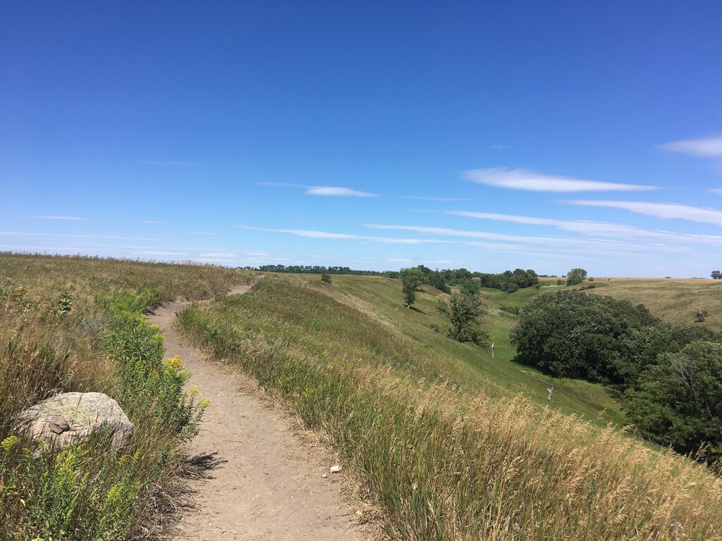
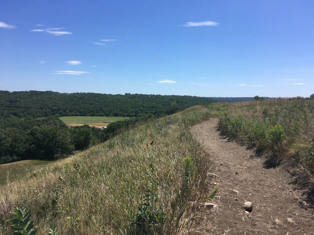
The Fort Ransom State Park Loop is one of the more popular AllTrails routes in the area. It uses the North Country Trail to connect the Redetzke Ridge and Pederson Ridge Trails. These trails are incredibly well maintained singletrack, rolling through fields and wooded river valleys. It is about 8.7 miles (without a small out-and-back that AllTrails adds) with 800 feet of gain. There are a variety of starting locations, mostly along the North Country Trail next to the Sheyenne River, including Sunne Farm, Redetzke Ridge and Pederson Hills Trailheads, as well as the visitor center and campground.
https://www.alltrails.com/explore/trail/us/north-dakota/fort-ransom-state-park-loop
https://www.parkrec.nd.gov/fort-ransom-state-park
https://www.parkrec.nd.gov/sites/www/files/documents/Destinations/Fort%20Ransom/FRSP_main_map.pdf