Location
Washington,
US
Distance
17 mi
Vertical Gain
6,500 ft
Description
GPS Track
FKTs
Male
Female
Mixed-gender team
| Jimmy Buchanan | 3h 35m 27s | ||||
| Max King | 3h 37m 55s | ||||
| Sam Peckham | 3h 52m 32s | ||||
| Mark Goodro | 4h 39m 31s |
| Chris Heiden, Mark Goodro, Greg Snyders | 5h 10m 52s |
| Elisa Laverty | 4h 50m 33s |
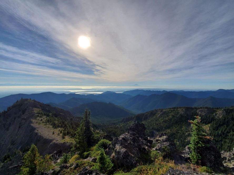
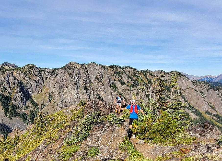
Images