Location
California,
US
Distance
33.48 mi
Vertical Gain
7,191 m
Description
GPS Track
FKTs
Male
Female
Mixed-gender team
| Joseph Roldan | 5h 22m 31s | ||||
| Matt Zupan | 5h 32m 48s | ||||
| Rory Beyer | 6h 57m 57s |
| Kiana Ramli | 5h 59m 1s | ||||
| Liz Gill | 7h 1m 10s | ||||
| Nadja Heine, Margae Knox | 10h 54m 32s |
| Chloe Taylor, Declan O'Neill | 7h 27m 4s | ||||
| Kiana Ramli, Brannon Forrester | 7h 47m 18s |
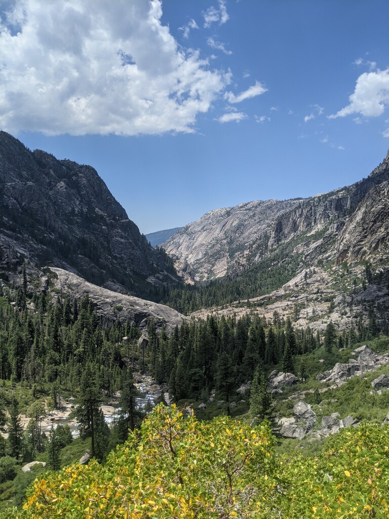
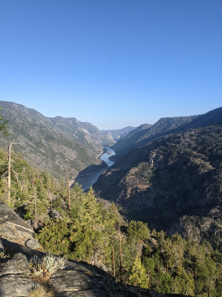
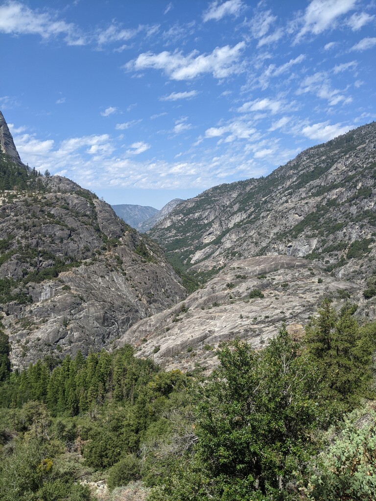
Images