Location
North Carolina,
US
Distance
100.48 mi
Vertical Gain
24,075 ft
Description
GPS Track
Gritchell.gpx27.59 MB
FKTs
Male
Female
| William Weidman | 1d 6h 40m 41s | ||||
| Alex Brown | 1d 6h 51m 57s | ||||
| Craig Lancaster | 1d 8h 9m 49s | ||||
| Kevin Ball | 1d 14h 29m 9s |
| Drew Stanley, Foster Ramsey | 1d 13h 36m 24s |
| Natalie Daniel | 1d 14h 6m 25s |
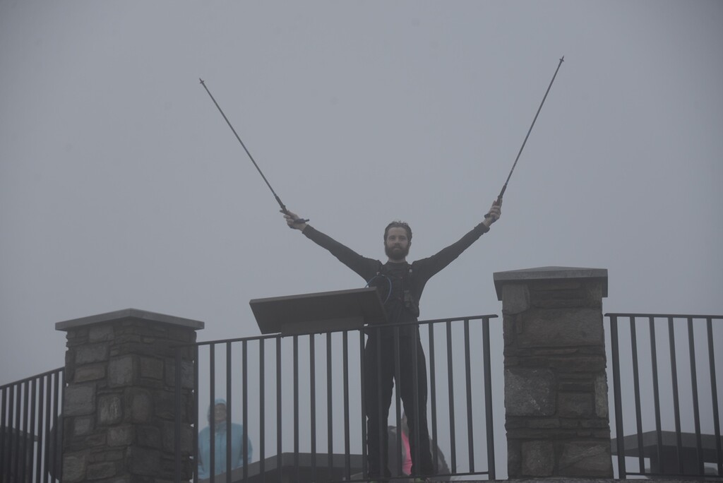
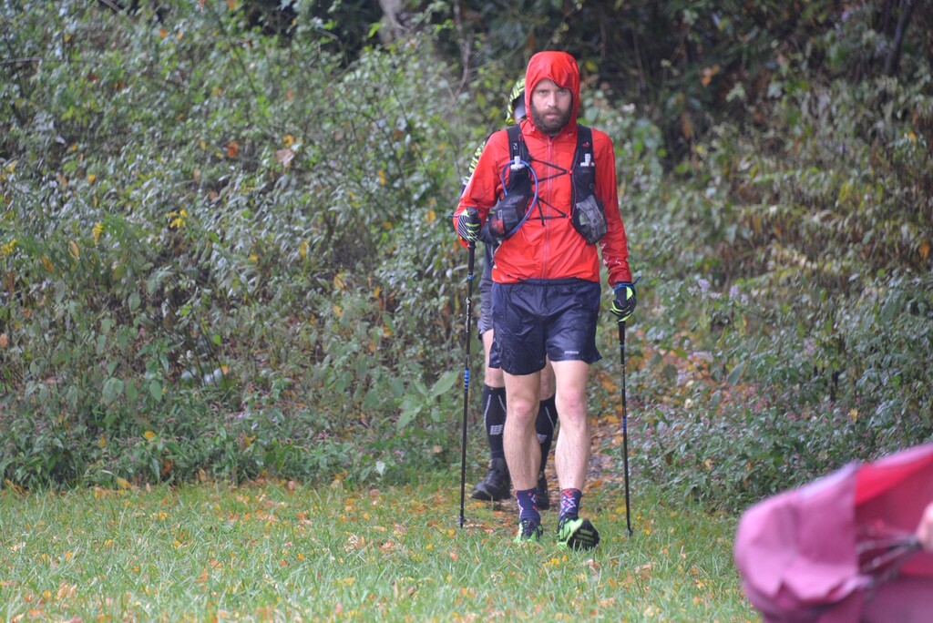
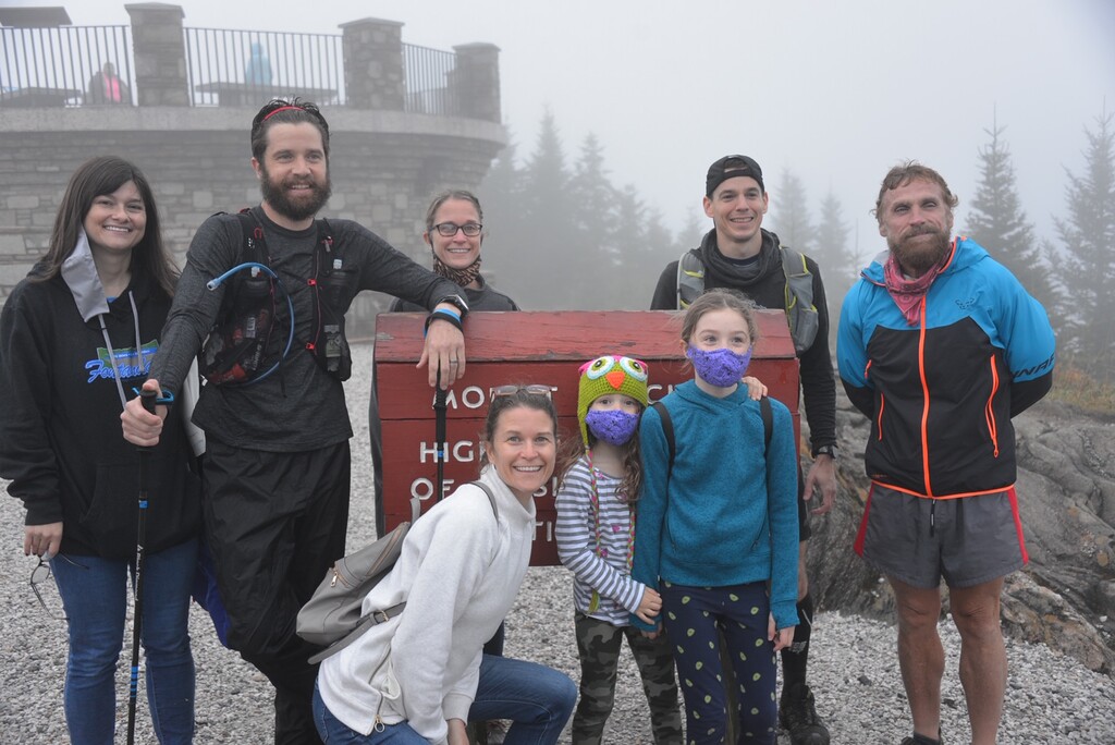
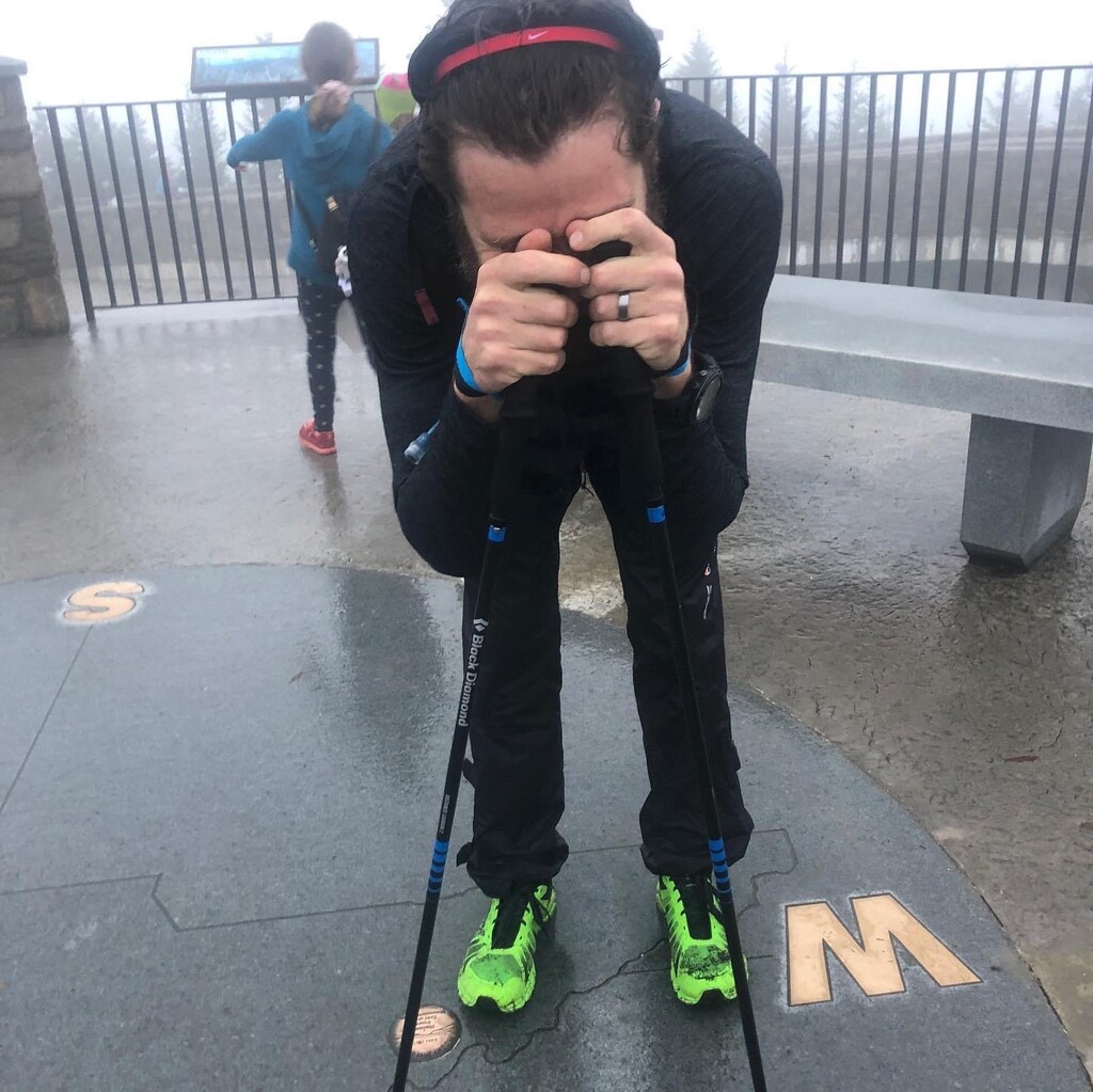
Images

Comments
EPIC! Glad to have witnessed this! Next time you'll do it even faster without a hurricane and with your crew being more experienced
I plan to run this route starting on Thursday, November 9 as the first half of a 200 mile route that will end at the Davidson River campground in Brevard. I will have crew and pacers along the way assisting me.