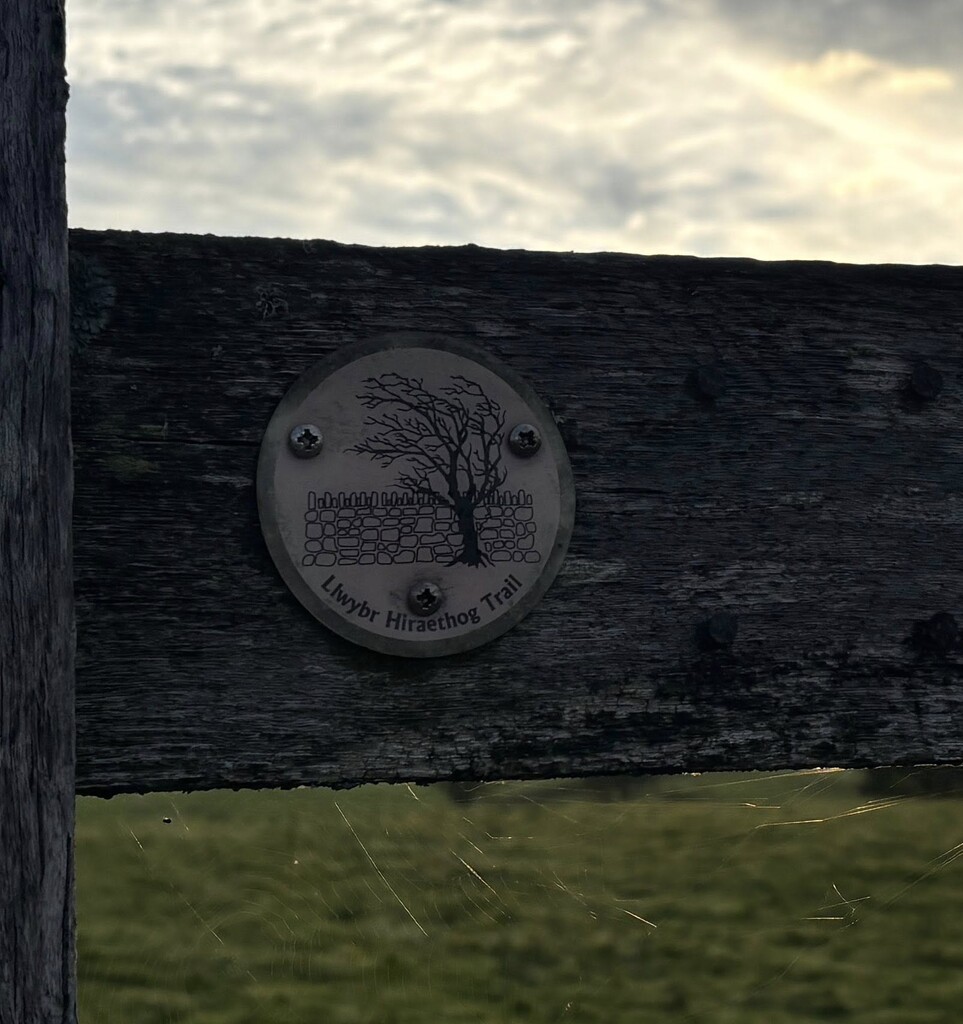
Location
United Kingdom
Distance
68 km
Vertical Gain
1,600 m
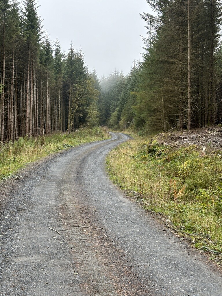
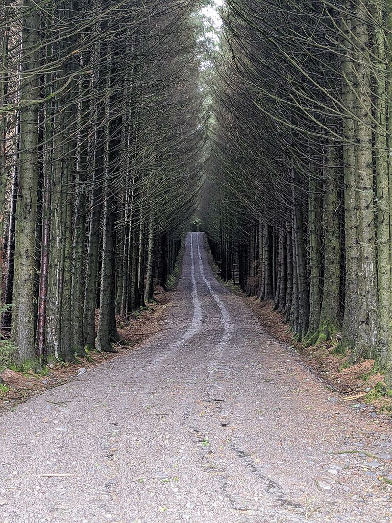
Description
GPS Track
FKTs
Male
Mixed-gender team
| Arthur Ramshaw | 11h 3m 3s |
| Jacob Richmond, Larissa Wells, Sharon Langer, Tae Catford | 17h 16m 28s |
Images
Comments
Here is a link to my blog post about the Hiraethog Trail guided challenge in August 2025.