Location
New South Wales,
AU
Distance
18.5 km
Vertical Gain
550 m
Description
GPS Track
Historic Nightcap Track FKT.gpx712.57 KB
FKTs
Male
Mixed-gender team
Female
| Keelan Birch | 1h 53m 27s | ||||
| Matthew Wood | 2h 9m 0s |
| Sarah Peel-Yates, Rob Gatt | 2h 19m 6s |
| Annabelle Swainston | 2h 39m 54s |
Male
| Keelan Birch | 2h 5m 4s |
Male
| Keelan Birch | 3h 58m 31s |
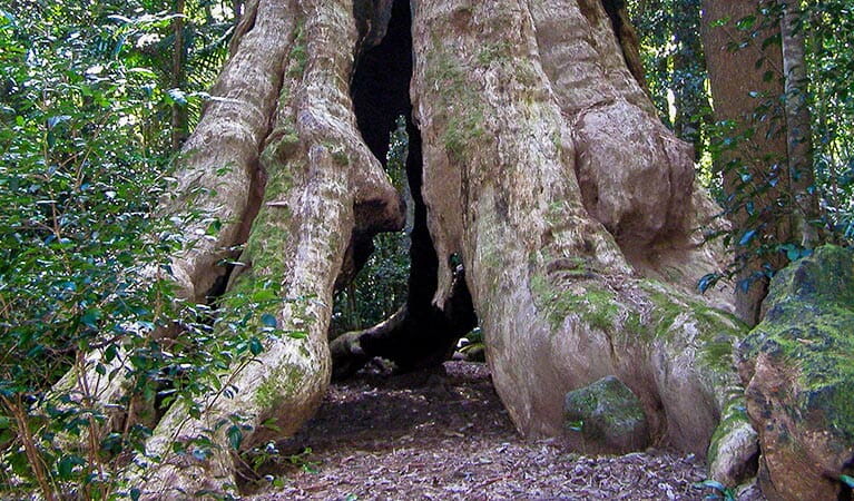
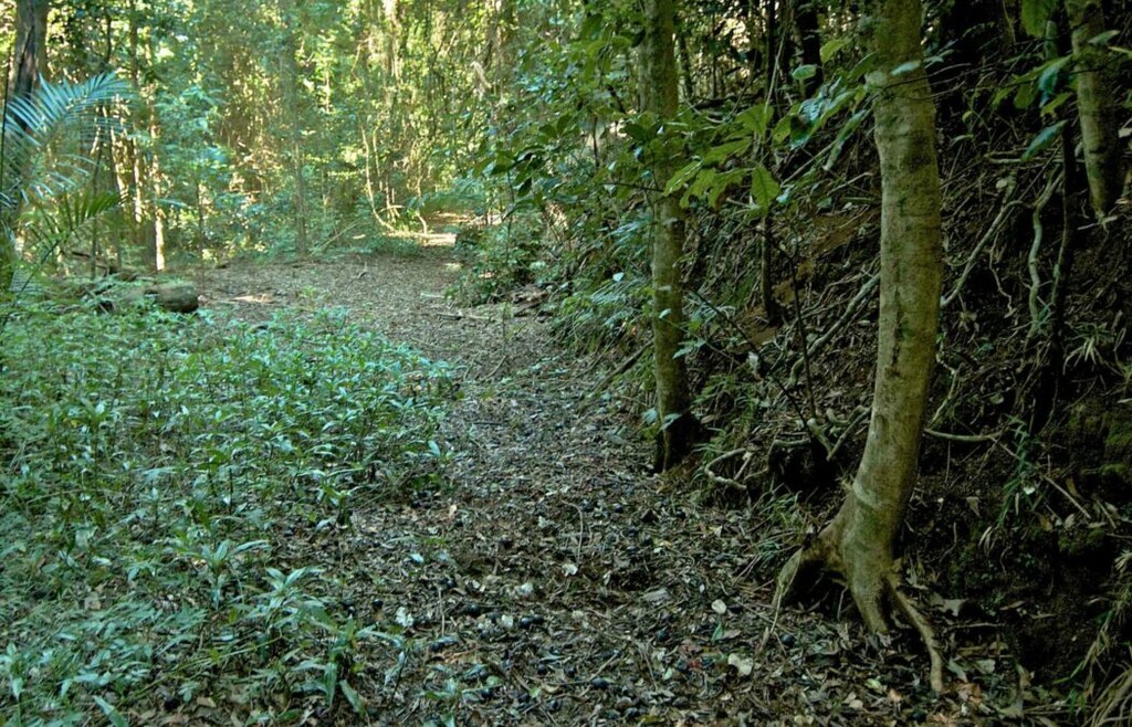
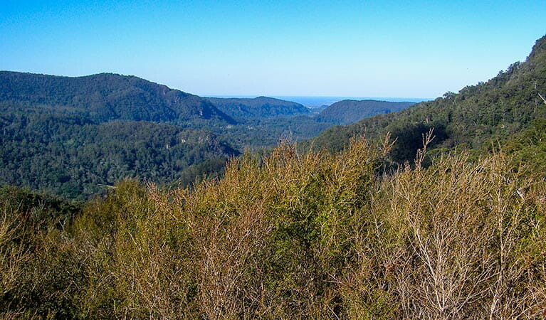
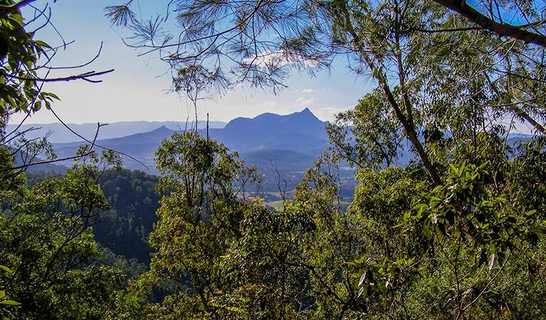
Images