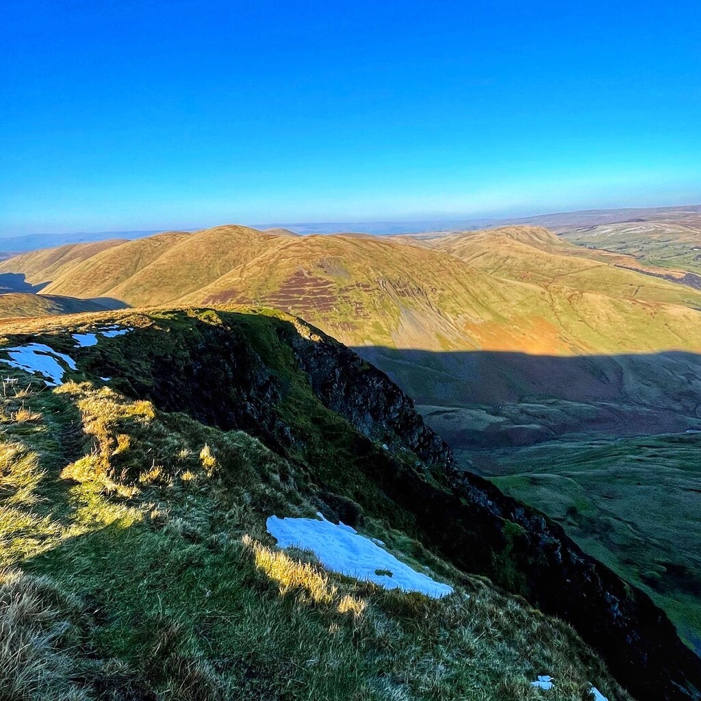
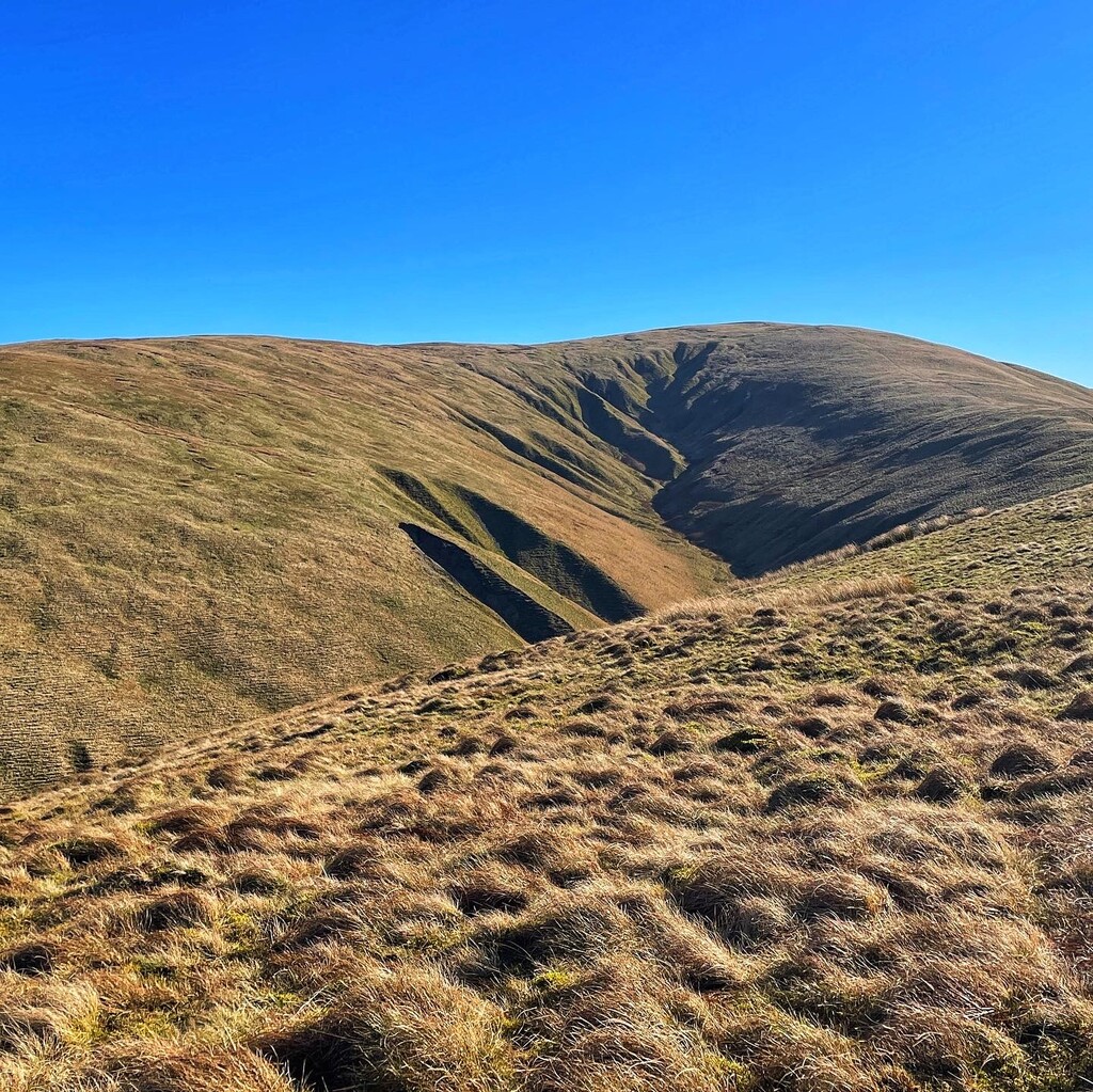
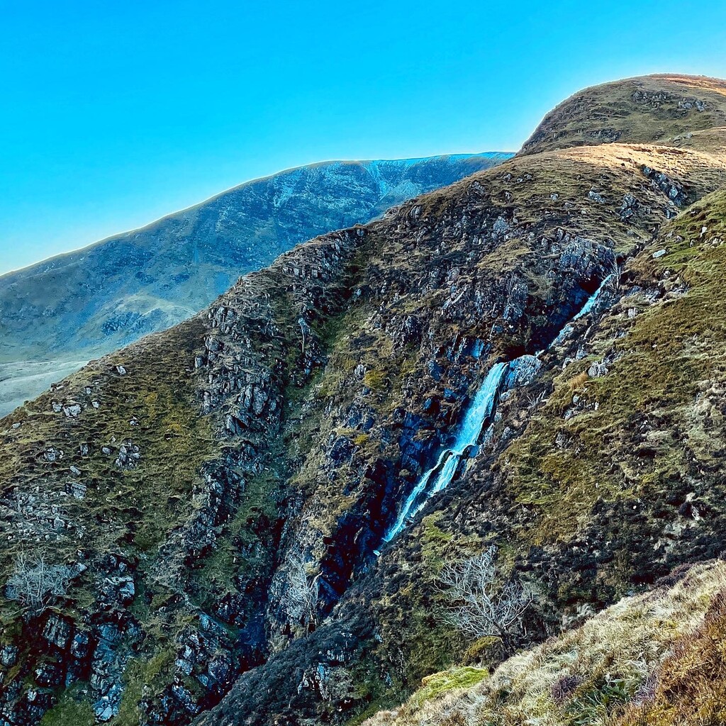
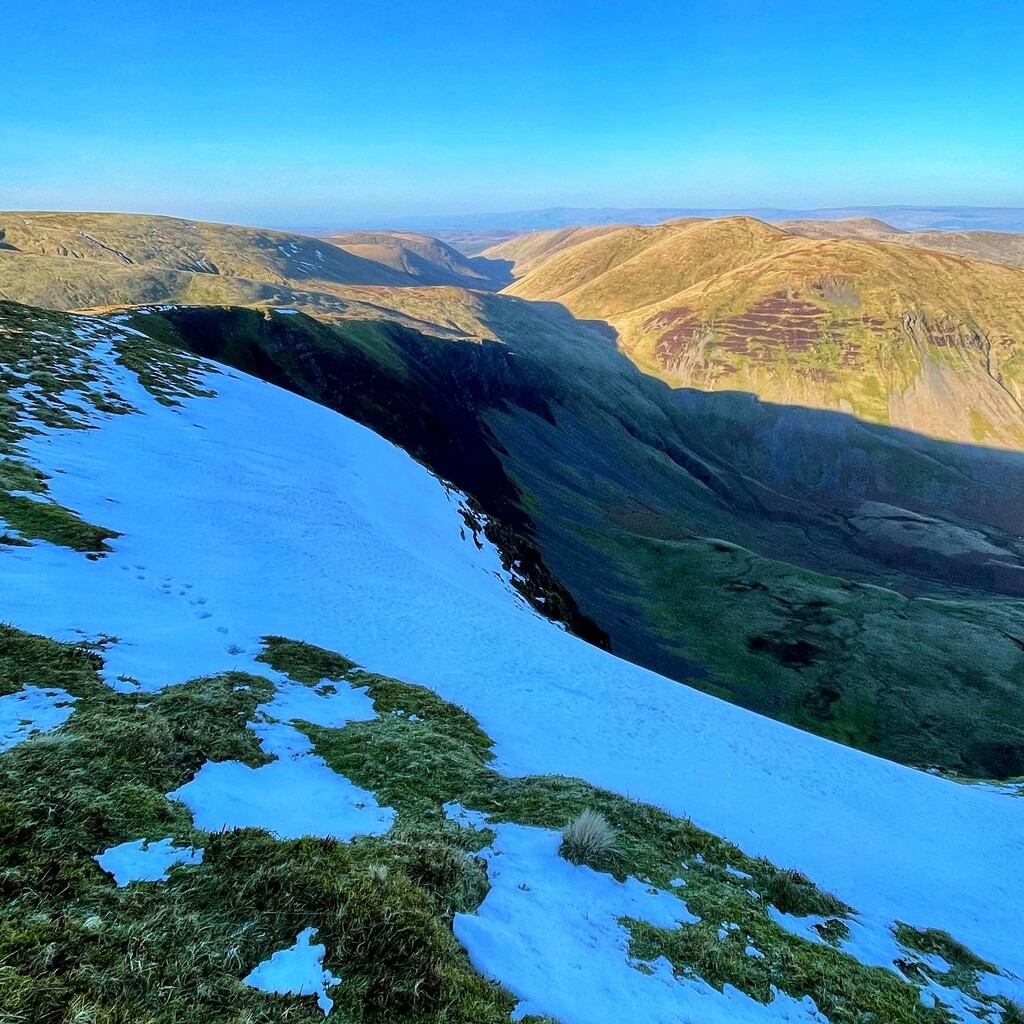
Location
United Kingdom
Distance
16.14 mi
Vertical Gain
4,850 ft
Description
GPS Track
howgills2000fttops.gpx13.15 KB
FKTs
Male
Female
| Dave Town | 3h 16m 18s | ||||
| Rhys Beddoe | 4h 1m 27s | ||||
| Andrew Reeves | 4h 54m 52s | ||||
| Dave Town, Chris Procter | 7h 24m 47s |
| Samantha Baker | 5h 11m 44s |
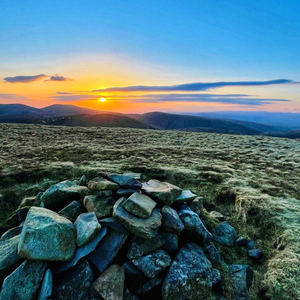
Images

Comments
What a route