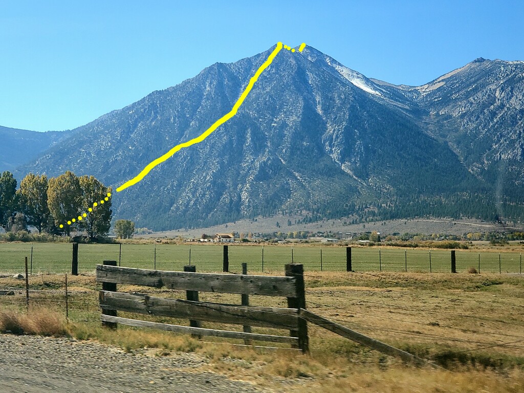
Location
California,
US
Nevada,
US
Distance
3.6 mi
Vertical Gain
5,940 ft
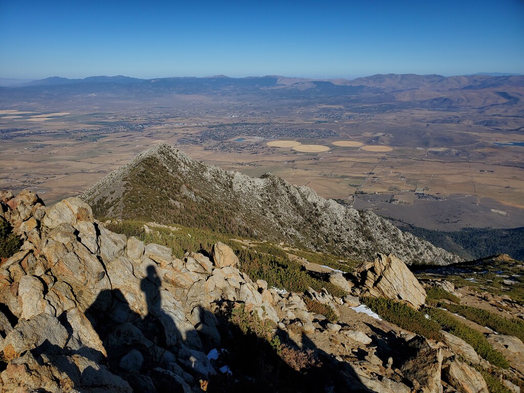
Description
GPS Track
JobsFromCarsonValley.gpx8.62 KB
FKTs
Male
Female
| Nick Beucler | 2h 28m 20s | ||||
| Dean Porter | 2h 52m 48s | ||||
| Eli Boardman | 3h 0m 25s |
| Andi Bertolina | 2h 41m 25s | ||||
| Nadja Heine | 4h 58m 43s |
Male
Female
| Nick Beucler | 3h 50m 57s |
| Andi Bertolina | 4h 18m 3s |
Images