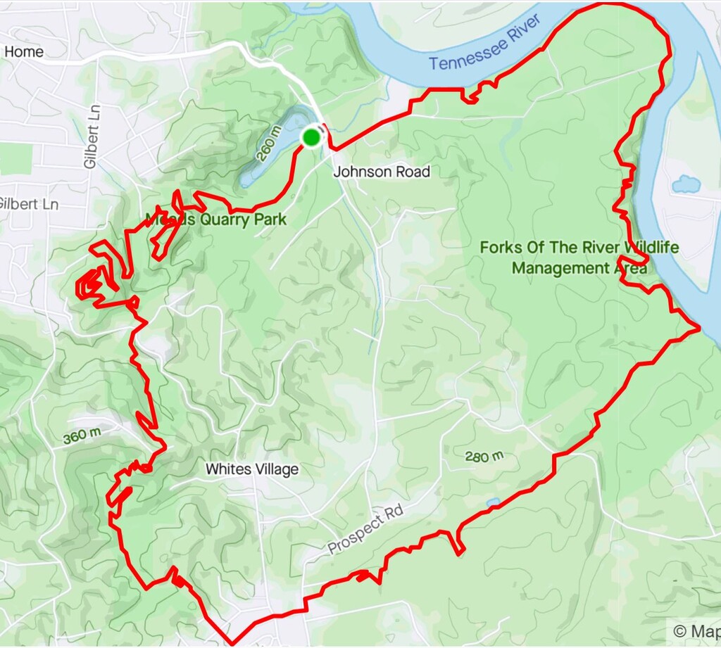
Route: Knoxville Urban Wilderness South Loop (TN)

Submitted by cnypaver on Sun, 07/19/2020 - 10:09am
Location
Tennessee, US
Distance
10.8 mi
Vertical Gain
1,000 ft
Description

The Knoxville Urban Wilderness is composed of approximately ~50 miles of single track and gravel trails that weave through the suburbs of south Knoxville, TN. The South Loop is a 10.8 mile long primary connector trail that circumnavigates and links all trail systems in the Urban Wilderness. The route begins at the map in the parking lot of Mead's quarry and proceeds west through the quarry trail system, Marie Myers park, William Hastie Natural Area, the Anderson School trail system, and, finally, the Forks of the River Recreational Area before following ~1.5 miles of the Will Skelton Greenway back to the parking lot of Mead's Quarry. The trail is approximately 70% dirt single track, 20% gravel, and 10% pavement with ~1000 ft of elevation gain.

The trail is maintained by the Appalachian Mountain Biking Club and the City of Knoxville (Thank you!). The entire route is marked with the purple leaf sign in the route photos. One of the more confusing parts of the route is the gravel path in Marie Myers park. In that section, follow the pedestrian gravel path from bottom to top. Once you go up the long straight hill and hook right, just hang a left to go up through the bamboo to William Hastie Natural Area. The turns will be marked.

GPS Track
Images