Location
United Kingdom
Distance
32 mi
Vertical Gain
2,466 ft
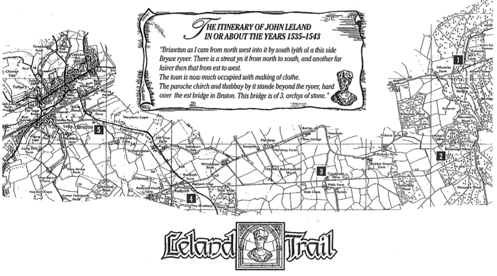
Description
GPS Track
Leland Trail.gpx118.77 KB
FKTs
Male
| Neil Cox | 4h 27m 39s | ||||
| Jake Bowles | 5h 59m 21s |
| Julian Goodship | 4h 59m 36s |
Images