Location
Missouri,
US
Distance
15.5 mi
Vertical Gain
250 ft
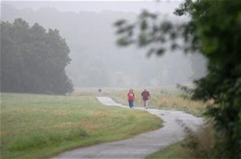
Description
GPS Track
Little Blue Trace ZO.gpx210.12 KB
FKTs
Male
| Joshua Nunn | 3h 54m 1s |
| Zack Olson | 3h 57m 1s | ||||
| Will Harmon | 4h 33m 15s |
Images
This route on the old FKT site
Comments
Approximately 1.5 miles has now been added to the south end of the trail. This would make the trail about 33 miles round trip at this time.
Sean Nunn
Raytown MO
Mark Boucher reported (Sept. 2012):
I ran the entire length of the Little Blue Trace Trail as an out and back from the middle covering the entire length of the trail twice. It is located in Lee's Summit and Independence Missouri. I ran from the gate at Lee's Summit Road to the shelter at the North End. Total distance of 30.16 miles per my Garmin 110. Time of 6:28:17. I ran this self supported by parking in the middle and using my truck as an aid station. I ran the Northern end as an out and back first, then the Southern end out and back second.
If anyone plans to run this trail in the future - good luck. There is no water, so plan accordingly. I started at the parking lot near Centerpoint hospital. I completed the Northern section first by using a full Nathan hydration pack with 65 oz and stashing a 24 oz. bottle about 4 miles in. The Southern tip is reachable with a hydration pack.
This trail is fairly scenic for an urban gravel based trail. Many sections of woods and it follows the Little Blue River. The weather was good today with temps in the high 50's at the start and ending around 80 degrees f.