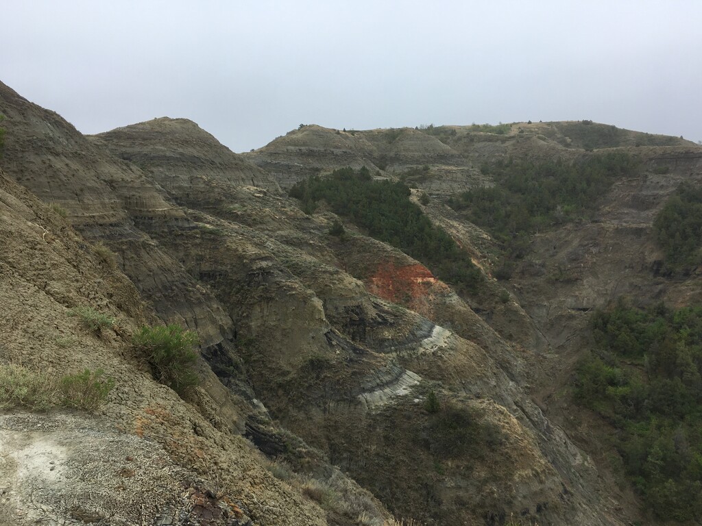
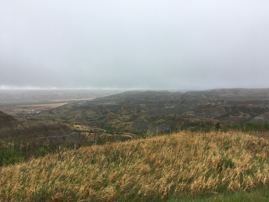
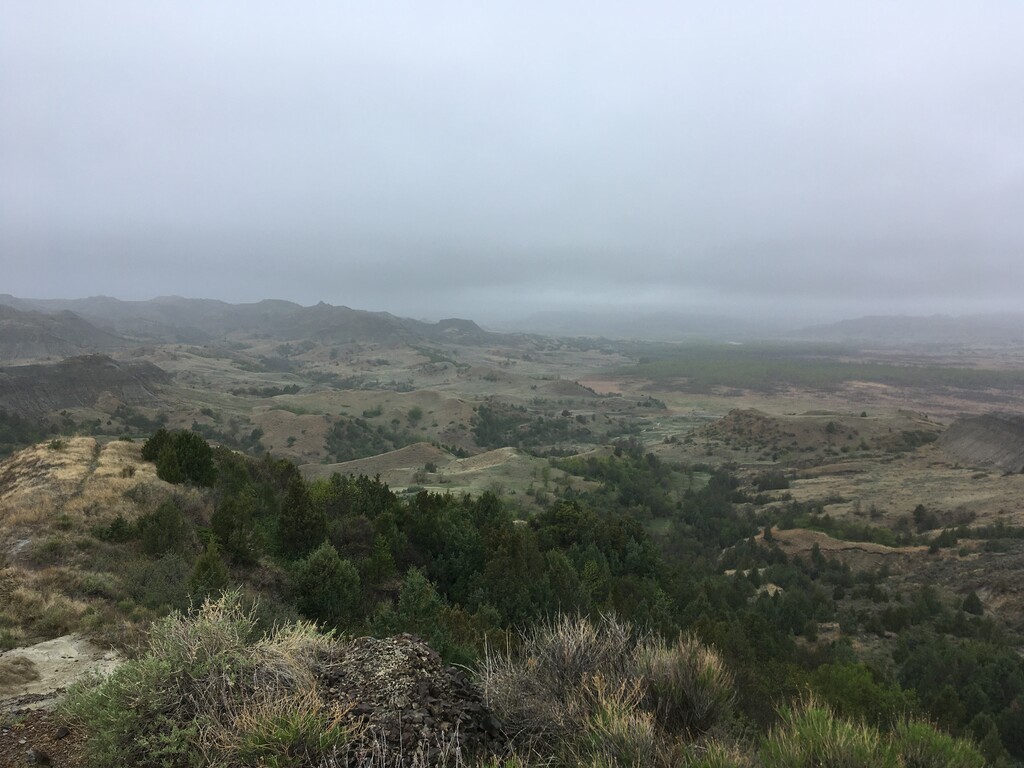
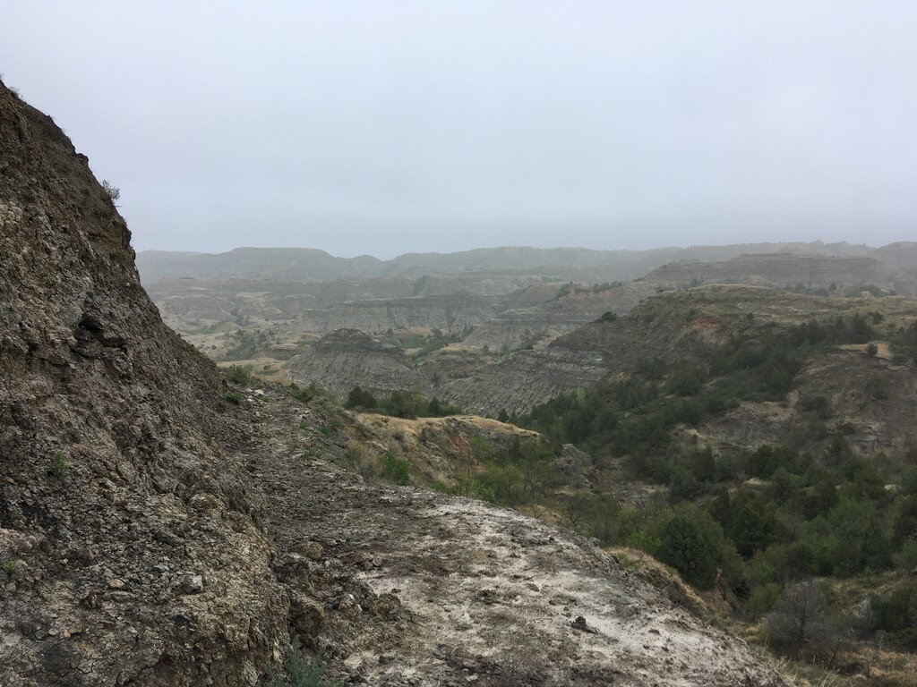
The Little Missouri State Park is located in the Badlands of western North Dakota on the Little Missouri River right before it empties into Lake Sakakawea on the Missouri River. It has expansive views of rock and clay formations similar to those found in Theodore Roosevelt National Park to the west.
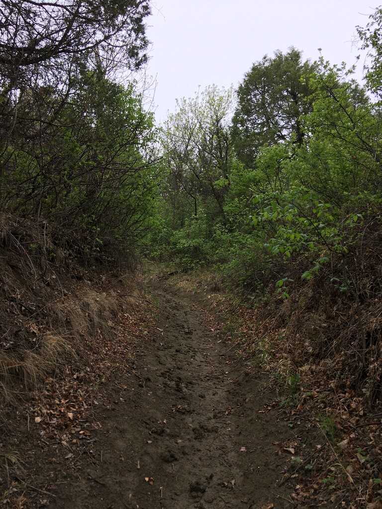
The Park, and bordering land leased by the park, contains 45 miles of trails. This loop (using trails I, PS, and T) stays largely on park property and provides a nice sample of the various terrain in the park. It starts at the parking area on the rim, before winding through trees, petrified wood, and rock formations taking you more than 500 feet down to the valley below. In the clockwise direction you come out of the valley by going straight up a ridge of bentonite clay with, truly a unique experience, even for the badlands. This is a recommended route on TrailRunProject which lists it as 5 miles with 861 feet of elevation gain. My watch had over 1000 feet of gain.
There are many trails made by bison and cattle so it’s good to have a gps track, although there are some trail signs. You may also see rattlesnakes. This trail is best run when dry as the clay becomes very slippery when wet. The lower parking lot should also be avoided when wet since you might not be able to drive back up the small hill. The park has a campground and is open May through October.
https://www.trailrunproject.com/trail/7003915/i-trail-to-ps-trail-to-t-trail
https://www.parkrec.nd.gov/little-missouri-state-park-0
Comments
As of July 2, 2023, the PS trail is closed due to excessive erosion. No timetable on when it may reopen. Therefore, this specific route is currently not possible to complete. Also, perhaps due to July 4th weekend, this campground was essentially full. Lots of horses and campers here on this Sunday.