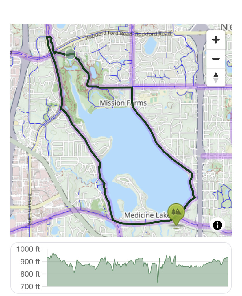
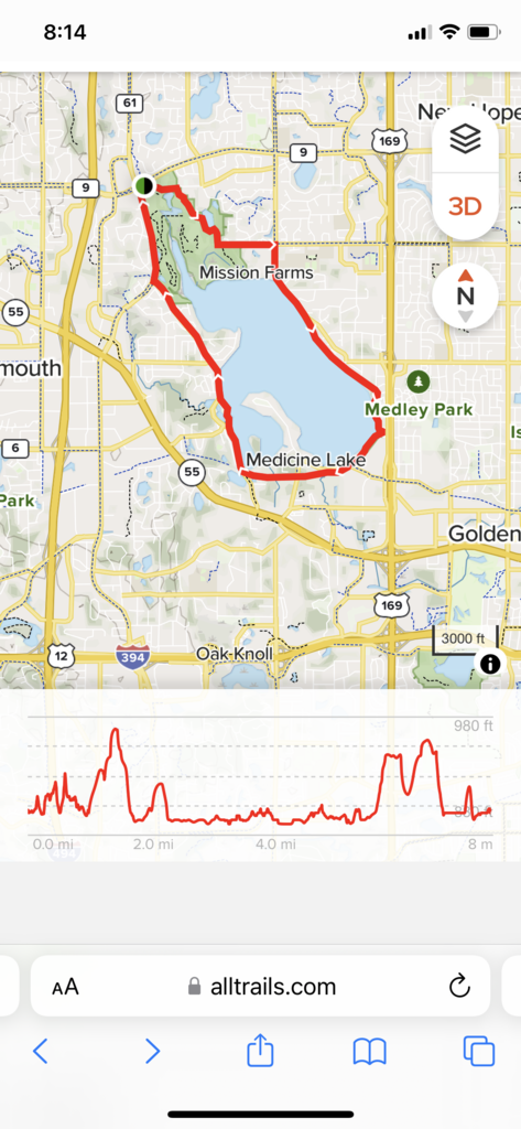
Location
Minnesota,
US
Distance
7.6 mi
Vertical Gain
482 ft
Description
GPS Track
10106-south-shore-drive.gpx17.5 KB
FKTs
Male
Female
| Gabriel Petersen | 56m 24s |
| Mandy Hansen | 1h 8m 37s | ||||
| Mandy Hansen | 1h 10m 45s | ||||
| Suzy Lurie | 1h 13m 29s |
Images
Comments
Yay! This is such a great loop! Be advised, The AllTrails map is the most accurate representation of the route. You DO NOT cross Rockford Rd. If you come up northwest Boulevard, just turn right on Rockford Road and swoop back into French Park. There are mileage signs posted at intervals for the 7.6 mile loop.