Submitted by Tom Walker: (the route is 10km long)
Leave Leatherhead Station via platform 2 exit, turn right and follow footway down to main road. Cross road at pelican crossing, and enter park opposite.
The route starts here.
After a few steps, bear left and take diagonal path through centre of park. At next path junction keep ahead into corner of park to road.
Cross road using pelican crossing. Turn left and walk uphill towards town centre. Bear right towards town centre passing War Memorial on left. Continue round to right and down towards river, passing The Running Horse on right.
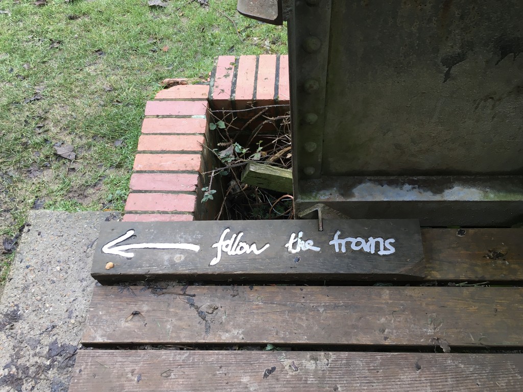
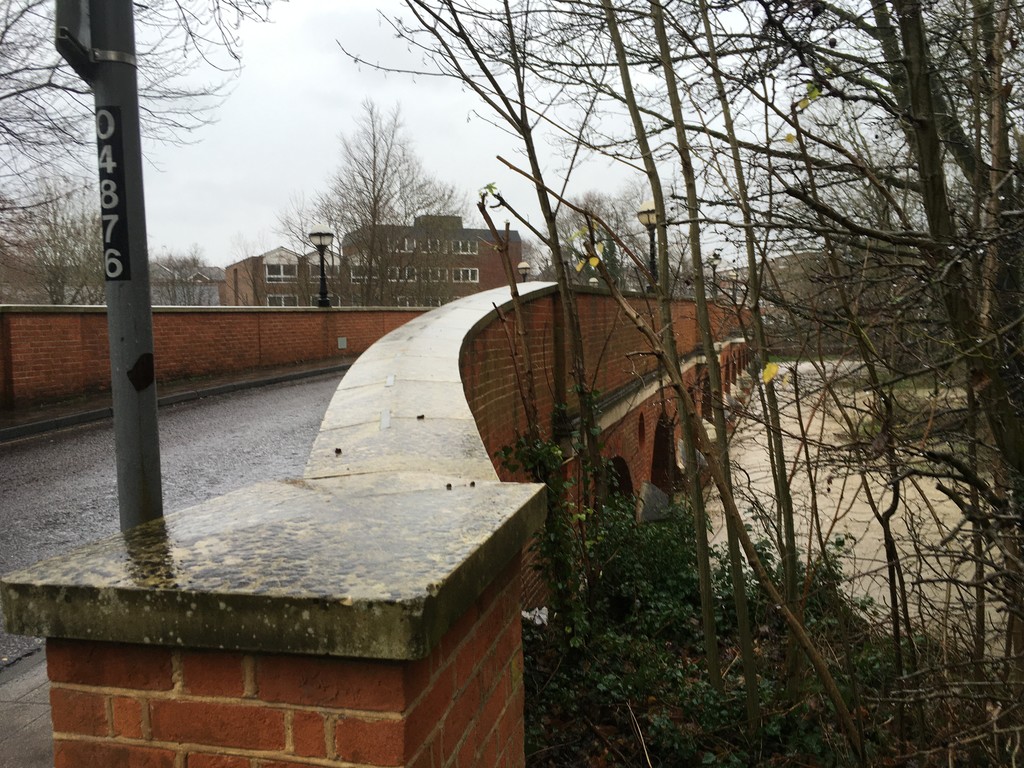
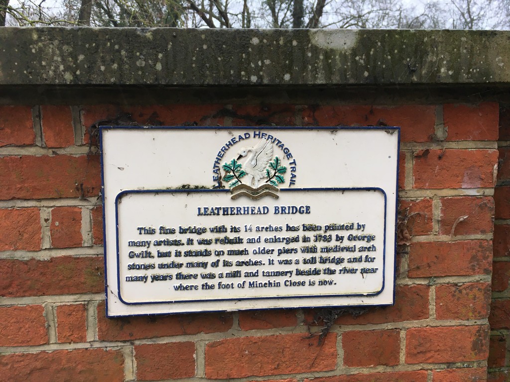
Cross road on far side of mini-roundabout just before Town Bridge, and walk over bridge. Turn left immediately and follow path alongside River Mole. Keep straight ahead on public footpath, past football ground and leisure centre, then skirting grounds of Thorncroft Manor. At end of footpath turn right onto tarmac drive. Continue along drive passing entrance to Thorncroft Manor. Before reaching Thorncroft Vineyard turn left off drive onto path and through metal kissing gate. Follow path through field to kissing gate. Keep ahead and follow path along riverside, passing through underpass of Young Street A246.
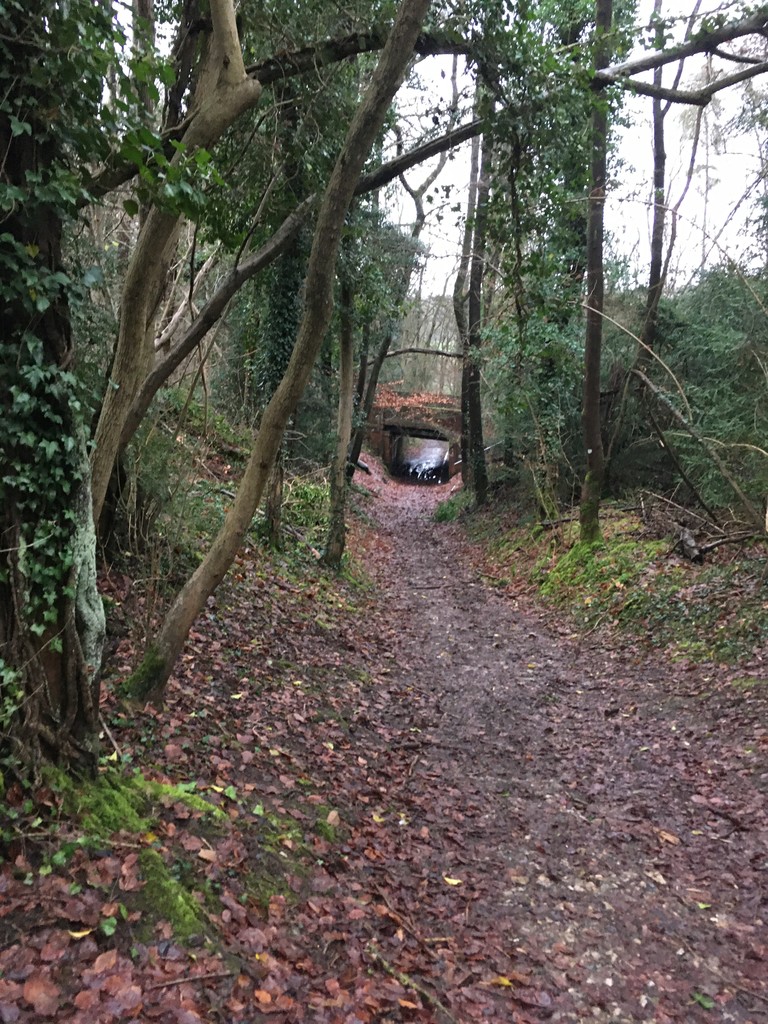
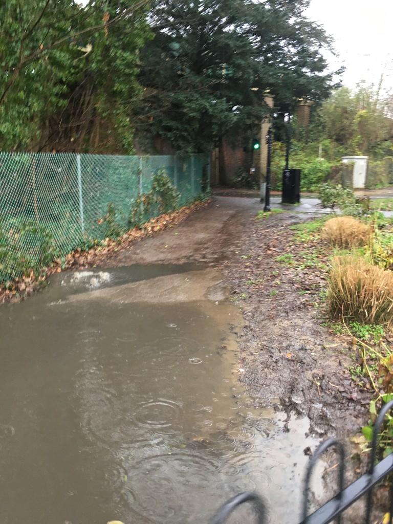
Follow the right of way through fields roughly alongside the river. Keep straight following the steep wooded rail embankment to your right until the track forks. Take the right fork through a rail underpass then take first left back over the railway as it disappears into the hill. Follow path through the woods round to the right at approximately the same elevation. When the woods clear to fields on your left take the footpath turning down through kissing gate into picnic site with disused stone well.
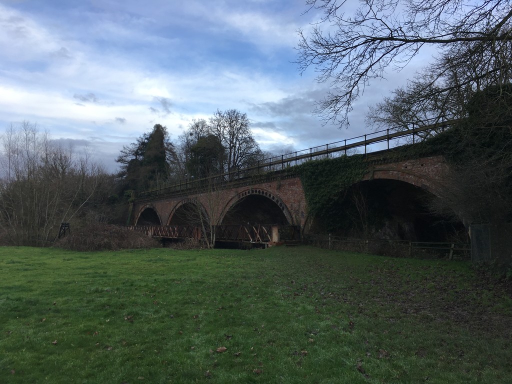
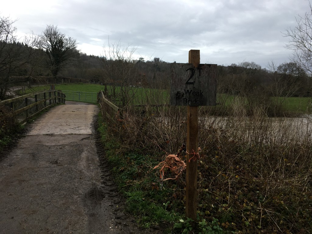
Leave picnic site through kissing gate on far side and keep ahead on track with fields on each side. At Lodge Farm, follow track left then right then ahead over bridge over River Mole (heavy FKTers should note the 2 ton weight limit). Continue along track to farm buildings then turn right along track and past cottage. Continue ahead along path and through three kissing gates to footbridge parallel to train bridge back over River Mole. Cross river and follow path ahead to kissing gate and to the road bridge over Westhumble train station.
Cross over Chapel Lane/Westhumble Street and turn right along footway. Continue along footway where it separates from road, passing Pilgrims Way. Continue ahead with care along Chapel Lane for 25 metres then turn left down narrow path between fences and hedges. Continue ahead crossing over road to kissing gate into field. Continue ahead across field and through kissing gate to cross over the stone track which is the North Downs Way.
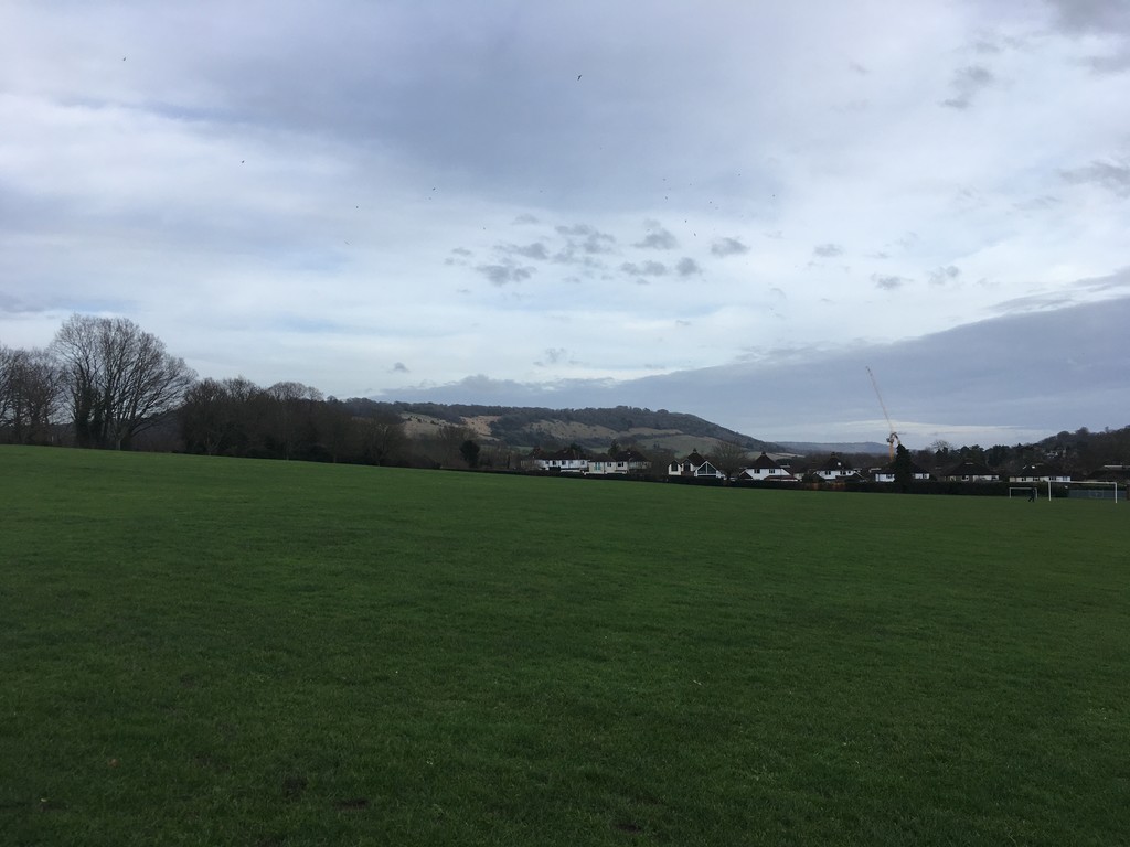
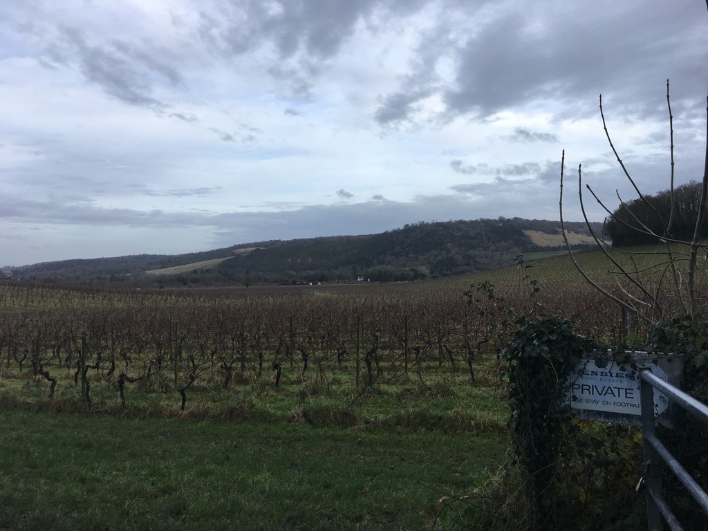
Continue ahead through gate into vineyard. Keep ahead on wide track through vines and crossing over drive. Keep ahead uphill. Where main track turns right keep ahead on grassy track. Go through metal kissing gate then descend tree lined track that becomes Yew Tree Road. Take Second left onto Ashcombe Road, cross over and take the footpath between houses which then crosses over the railway track and opens out to Dorking Recreation ground on the left.
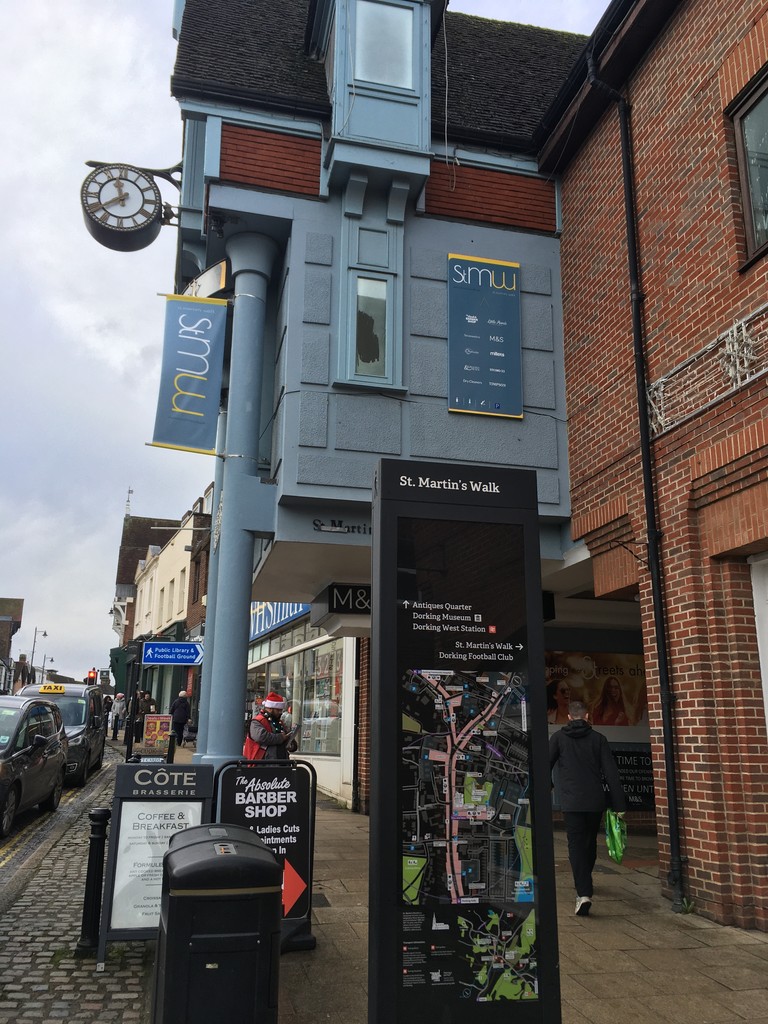
Cross the brook just past Dorking Wanderers FC football ground and ascend Mill Pond Road. Turning right at the High Street you will see the "St. Martin's Walk" local map information board which is the endpoint of the route.
https://en.wikipedia.org/wiki/Mole_Gap_Trail
https://www.walkingenglishman.com/ldp/molegaptrail.html
https://www.visitdorking.com/explore/walks-and-trails/mole-gap-trail/
https://www.surreyhills.org/discover-route/mole-gap-trail/