Location
Arizona,
US
Distance
8.98 mi
Vertical Gain
2,642 ft
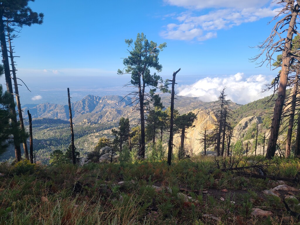
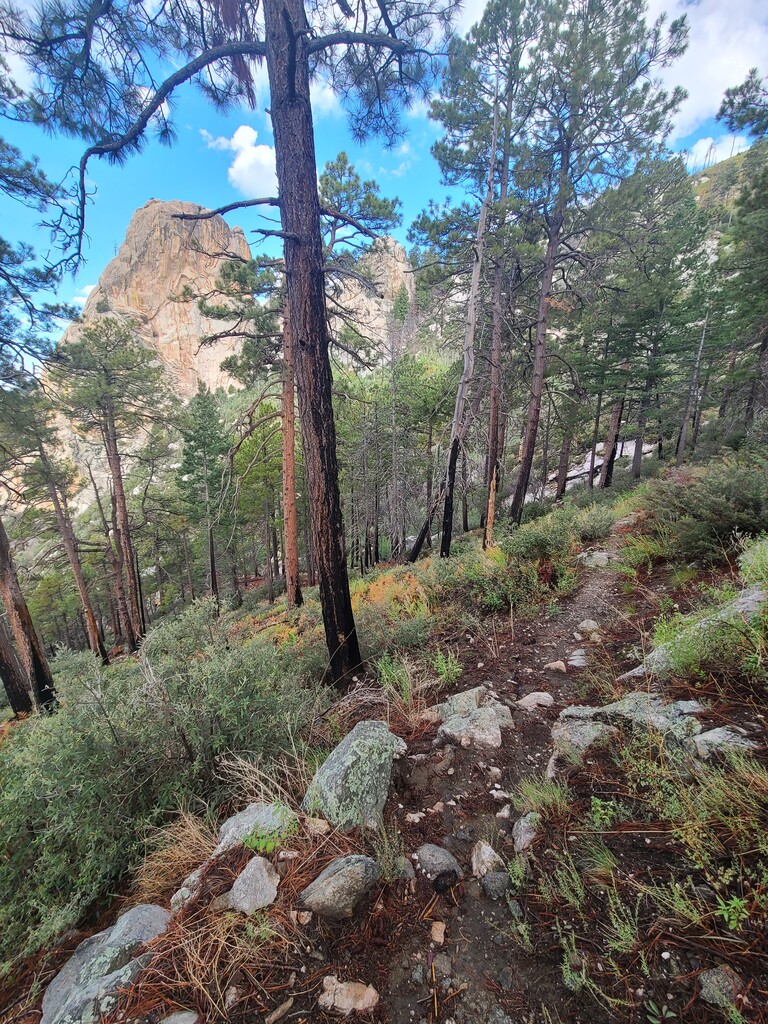
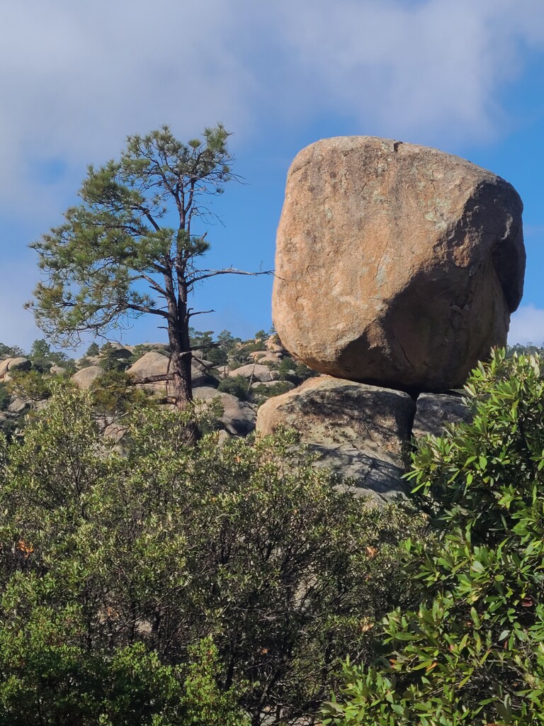
Description
GPS Track
activity_20301848723_0.gpx1.37 MB
FKTs
Male
Mixed-gender team
| braden hunter | 3h 4m 26s |
| John Beard, Marcy Beard | 3h 18m 49s |
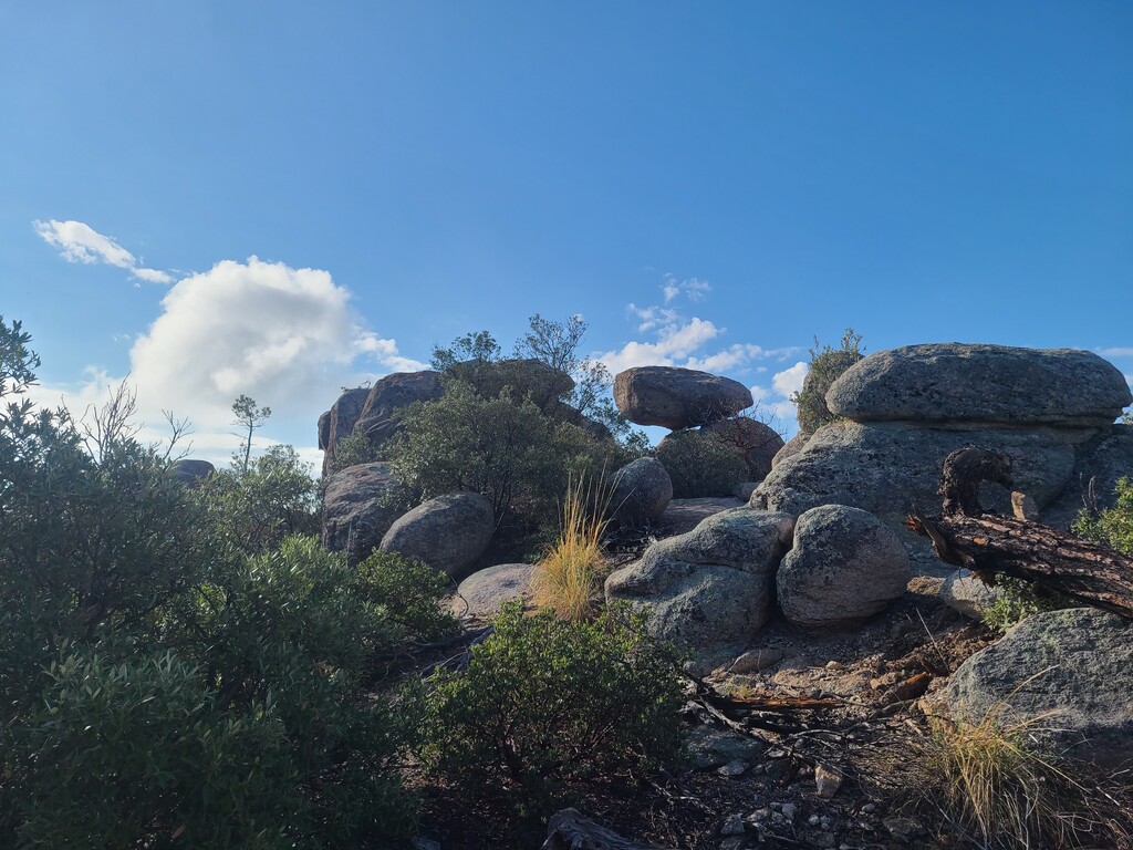
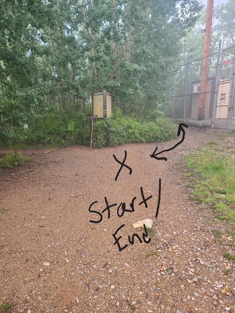
Images
Comments
Great loop.