Mt. Davis Loop
Location: Mount Davis Natural Area, Somerset County, Pennsylvania
Route Type: Loop
Route Description
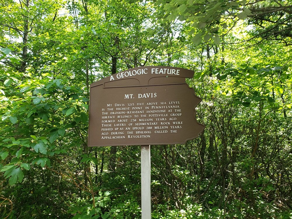
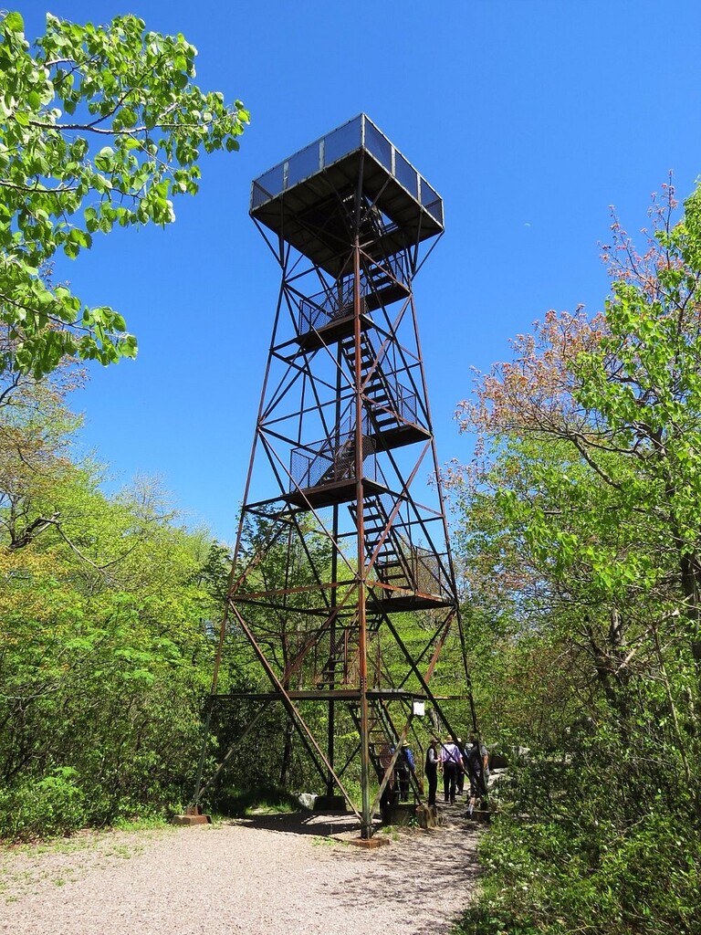
The Mt. Davis Loop is a compact but demanding trail-running circuit centered on Pennsylvania's highest point. Beginning and ending near the Mount Davis observation tower, the route combines rugged singletrack, forest roads, and rolling Appalachian terrain through the Forbes State Forest. Despite its relatively short length, the constant elevation changes, rocky footing, and remote feel make for an excellent benchmark effort.
The course highlights the best terrain surrounding Mount Davis while showcasing the highest elevations in Pennsylvania. Dense hardwood forest, quiet ridgelines, and technical trail provide a classic Laurel Highlands trail-running experience without requiring an all-day outing.
Route
The route starts and ends at the tower (use the Mount Davis parking area) and follows a clockwise or counterclockwise loop through the surrounding trail network before returning to the trailhead. Navigation is generally straightforward, though carrying the GPX is recommended due to several trail and forest road intersections.
Terrain
- Technical singletrack
- Rocky and rooted trail
- Forest roads
- Short, steep climbs
- Fast runnable sections
- Mixed hardwood forest
Expect wet rocks, mud, and leaf-covered trail during much of the year.
There are no dependable water sources or resupply opportunities on the course. Runners should carry everything they need. The nearest services are available in nearby communities after completing the loop.
The route can be completed year-round, though late spring through fall typically offers the best conditions. Winter snow and ice can substantially increase both the difficulty and required equipment. Autumn provides exceptional foliage and generally cooler running temperatures.
Whatever point you start at in the parking lot you must come to that exact point when finishing the loop. So it becomes one full loop. Also take he outer side of the loop around the MT Davis Tower, so your going around it 3/4 of the way, whichever direction you run the loop.
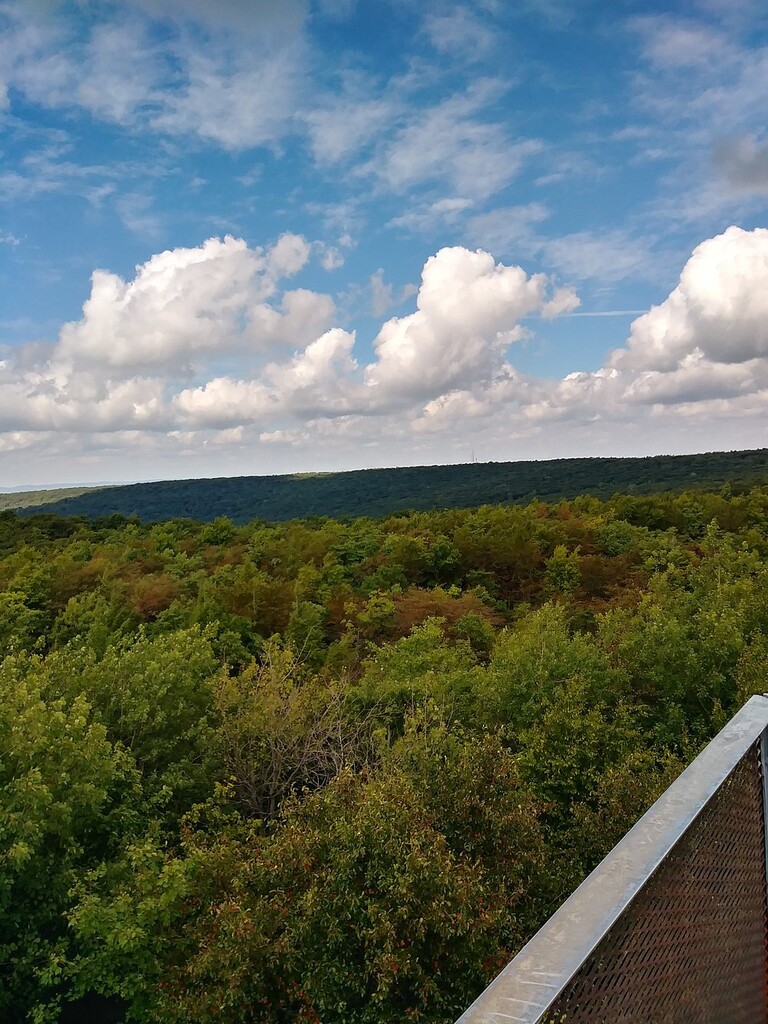
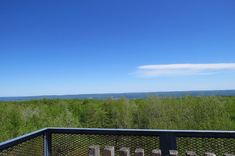
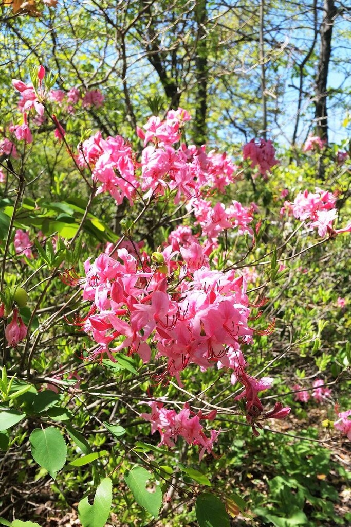
The view is awesome. It is the highest point in Pennsylvania. Lot fo good Flora to see as well along the trails.