Route: Mt. Ka'ala (HI)

Submitted by Hunter Leininger on Wed, 12/08/2021 - 09:53am
Location
Hawaii, US
Distance
14.07 mi
Vertical Gain
4,200 ft
Description

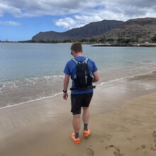
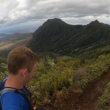
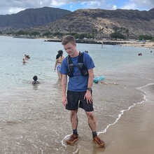
Mt Ka'ala (4025 feet) is the highest summit on the island of Oahu.  Start at Sea Level (0 ft) elevation at Pōkaʻī Beach (Pōkaʻī Bay Beach Park) run Waianae Valley Rd until you reach Mount Kaala Trail which will take you up to the summit of Mt. Kaala. The Mount Kaala Trail technically ends at the top when it runs into Mt. Kaala Rd, there is a sign on the fence that states end of the trail no trespassing past sign. So this is where the official turnaround for the fkt will be. The true summit (4,025 ft) is a few feet past the sign around the government-owned radio tower, you can probably walk past the trail end sign to the true summit and not get any trouble but proceed at your own risk. To finish the route, from the trail end sign you return the exact same way that you came all the way back down to sea level (0 ft) at Pōkaʻī Bay Beach Park and touch Pōkaʻī Beach.