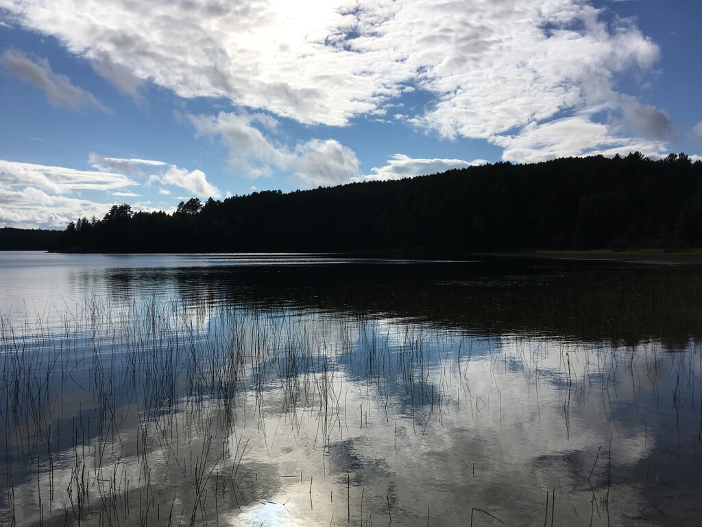
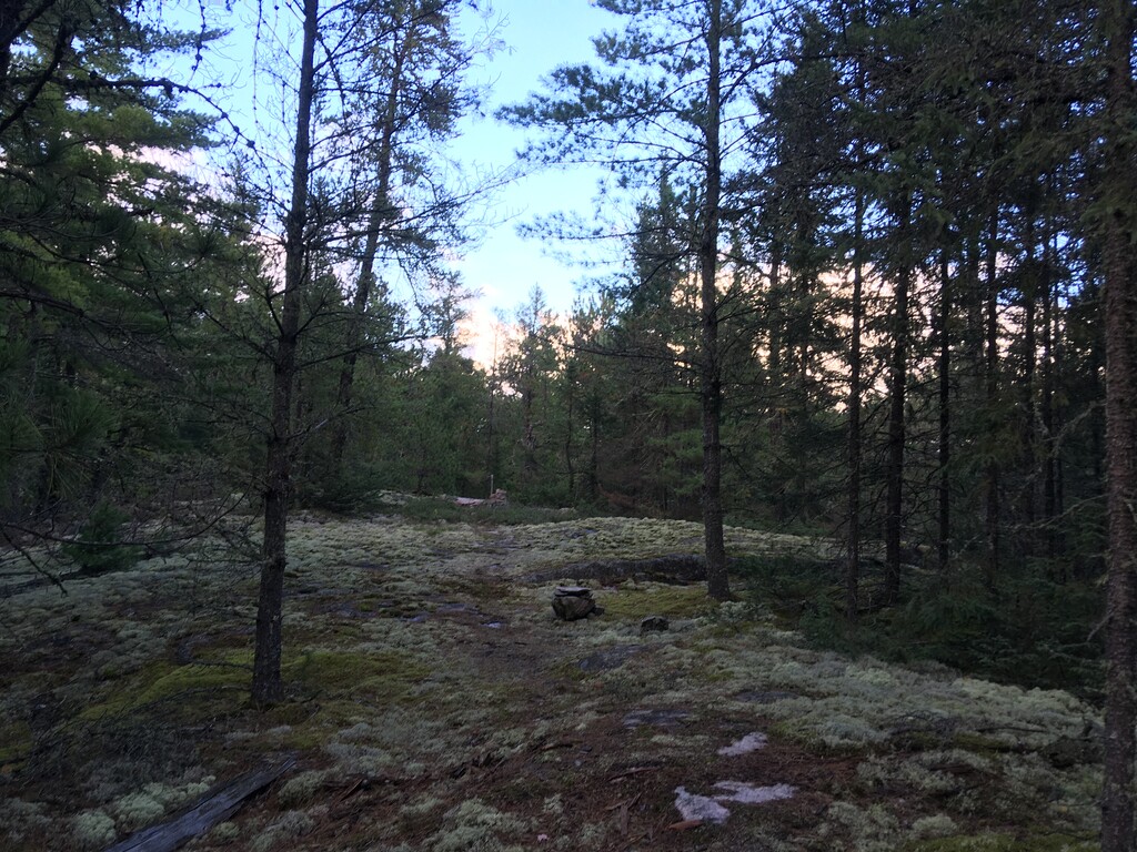
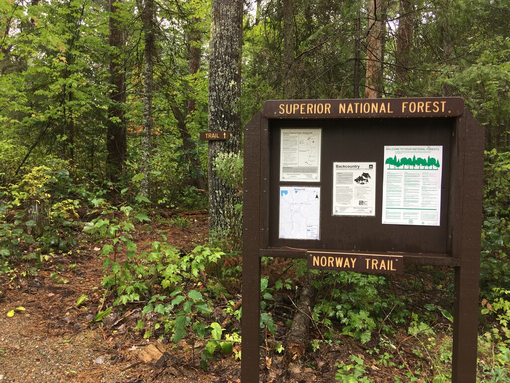
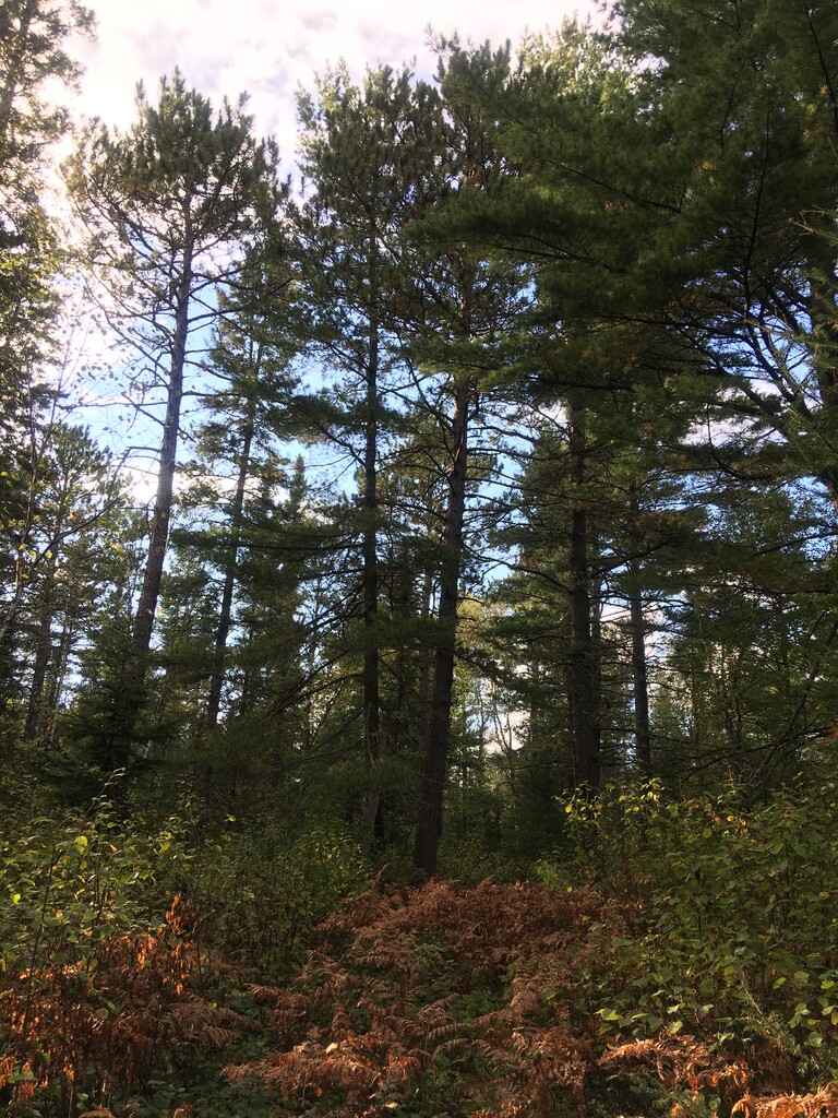
Route: Norway Trail (MN)

Submitted by Matthew Matta on Mon, 09/06/2021 - 10:35am
Location
Minnesota, US
Distance
8.5 mi
Vertical Gain
800 ft
Description

The Norway Trail is an 8.5 mile trail in the Superior National Forest in northeastern Minnesota. The southern 2 miles enters the Boundary Waters Canoe Area Wilderness. This trail connects County Road 116 (the Echo Trail) to Trout Lake. It passes through remote stands of red and white pine and over small rocky areas. Elevation estimates vary widely (my watch said 1500’ of gain) but it appears to be closer to 800’ based on other gps tracks I’ve found.

The northern trailhead has been moved in recent years to avoid a bridge that washed out. It is now on County Road 116 instead of Forest Road 471. This move added about ¼ mile. There is also a trailhead near the southern end of FR 471 with limited parking, right before the trail enters the Boundary Waters. Mountain Bikes can be used on this trail outside of the Boundary Waters.

https://www.fs.usda.gov/recarea/superior/recreation/hiking/recarea/?recid=41613&actid=51

https://www.fs.usda.gov/Internet/FSE_DOCUMENTS/stelprdb5356967.pdf

GPS Track