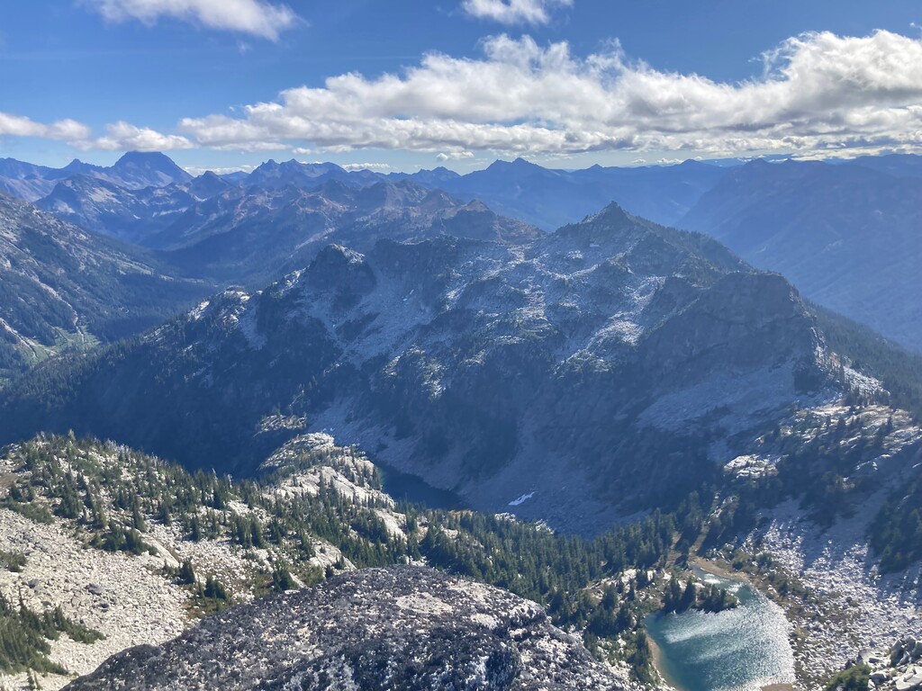
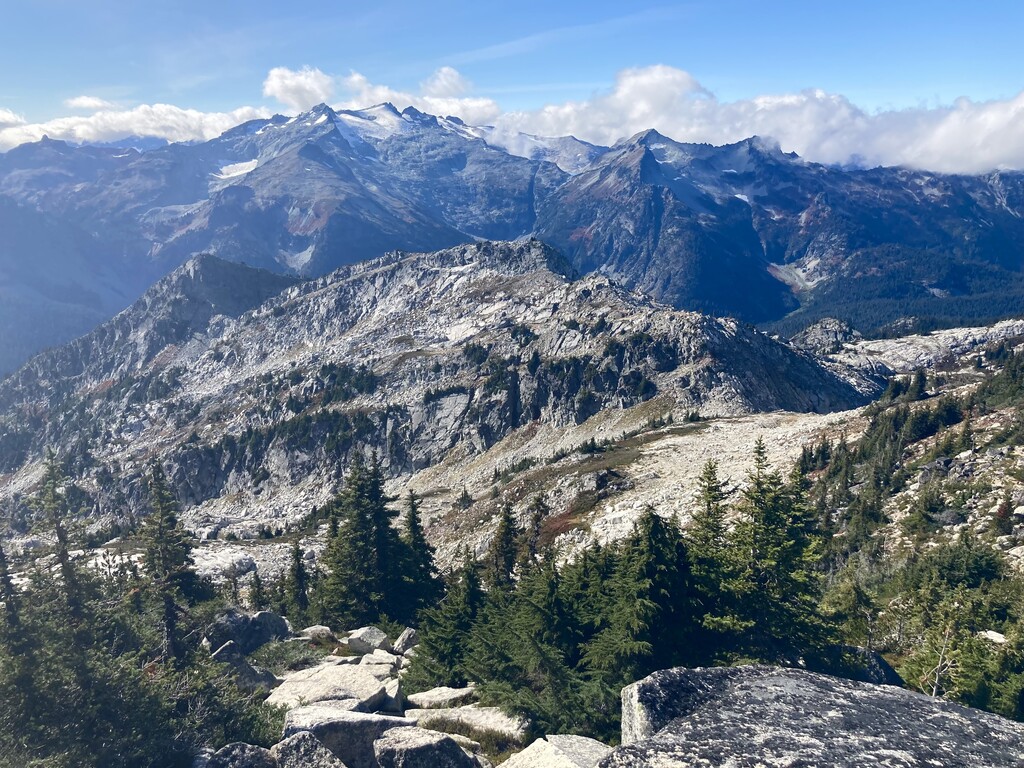
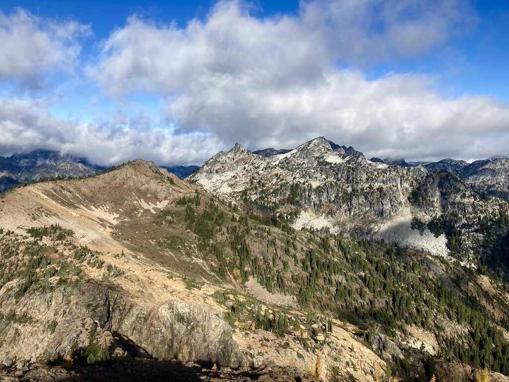
The valley of the Cle Elum River and Deception Creek, and the ridge above it immediately to the east, are the dividing line between the Alpine Lakes "Home Court" area and the Wenatchee Mountains "Back Court". From this ridge, you are presented with grand scenery to the west of the forests and glaciers of Mt. Daniel and its surroundings, and of the high alpine rock of the Stuart Range, the Teanaway, and the Chiwaukum to the east.
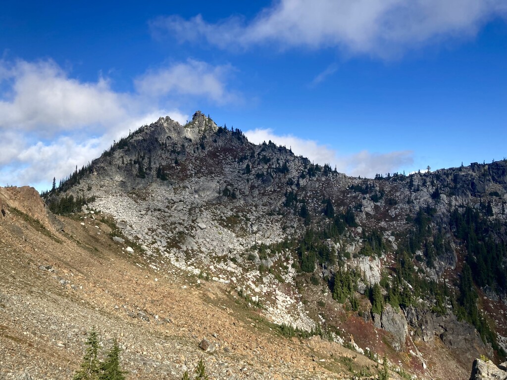
Along this ridge, Paddy-Go-Easy Pass is an important pass for folks traversing the Alpine Lakes Wilderness as a part of the Alpine Lakes Grand Tour, and Robin and Tuck Lakes are popular backpacking camp sites. In between these are miles of excellent scrambling and off-trail travel. This route crosses that terrain and summits the four named mountains along the ridge - Paddy-Go-North, Sherpani Peak, South Granite Mountain, and Granite Mountain. With solid boulder hopping, open terrain and clear lines of sight that make for generally easy navigation, and some excellent scrambling, this is a fun and scenic crosscountry route.
The route: beginning at the Paddy-Go-Easy trailhead, hike the trail to Paddy-Go-Easy pass. Turn NW and the trail peters out fairly quickly. You will likely not encounter manmade trails again until you are approaching Robin Lakes. Scramble the NE ridge of Paddy-Go-North peak and descend to the north. Traverse through two basins towards Sherpani, the needle-like peak to your north. Aim for a notch high on Sherpani's east ridge, then scramble the summit block on high quality 3rd class rock. Some online resources claim the very top of Sherpani includes 5th class - this author disagrees. It's definitely easier than the boulder on top of South Early Winters Spire, for comparison.
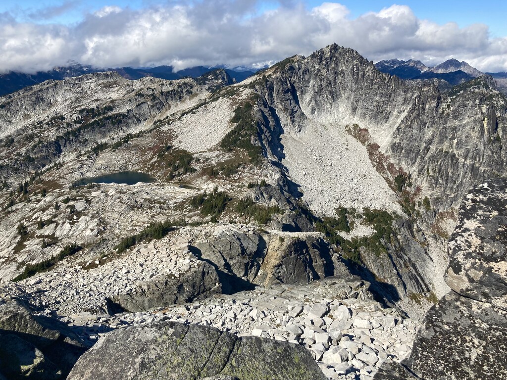
After descending off Sherpani, you have to get around a steep rock tower on the ridge. Get over onto the west side of the ridge and descend to 6200 feet, and traverse under cliff bands there. Your traverse should naturally bring you back onto the crest of the ridge past the rock tower. From here, the climb up a boulder field to the summit of South Granite Mountain is fairly obvious.
From the summit of South Granite, the route continues to be pretty straightforward to navigate. Descend South Granite to a col (with a good lake for water filtering) then ascend Granite. You can go directly up Granite's south ridge but you may end up doing some exposed 3rd class (this author found it more attention-getting than the "5th class" on top of Sherpani). It seems like some other parties stay on easier terrain by traversing north at around 6900 feet and taking Granite's NE ridge up.
From the summit of Granite descend either N or NE to Robin Lakes, where you will once again be on trail. The trails around Robin Lakes are a bit of a maze, with many social trails that go nowhere, so expect to keep your navigation brain on as you descend a steep trail to Tuck Lake. Once past Tuck, it's a straightforward trail down and out to the Tucquala Meadows/Deception Creek trailhead. The clock stops at the Tucquala trailhead - the walk/bike/drive one and a quarter miles down the road back to the Paddy-Go-Easy trailhead is not part of the route or your time.
History of the route: Sherpani and Granite each get traffic from scramblers, but it's rarer to see them linked together. There are several reports of overnight trips along this ridge scrambling these peaks, including Brett Dyson in 2015. In August 2018, Luke Distelhorst and Ben Mayberry ran through this area, but they skipped all of the summits except Granite. In this author's judgement, Sherpani is too good of a scramble to go past and not do, and the summits should be part of the route, plus it means staying higher and more true to the ridge. The only known previous one-day trip on this route including the summits is Eric Geissinger, who claimed a time of 12 hours 16 minutes in September 2020.
Logistical advice: note that the trailheads are past where the road fords Scatter Creek - in early season or when the water is high, this route may be inaccessible to some or all cars. Do not overly rely on GPX files on your phone - the navigation is generally easy in the crosscountry areas, and the social trails around Robin and Tuck lakes seem to change enough that Gaia's map and past GPX files may not reflect reality on the ground. This is a pristine and wild place, with almost no impact of humanity between Paddy-Go-North and Granite Mountain. We should continue to emphasize leave no trace principles here - in particular, travel on rock whenever possible (it usually is) to avoid creating unnecessary trails, to help ensure that future travelers get the same wild, off-trail experience.