Location
New Hampshire,
US
Distance
11.67 mi
Vertical Gain
2,382 ft
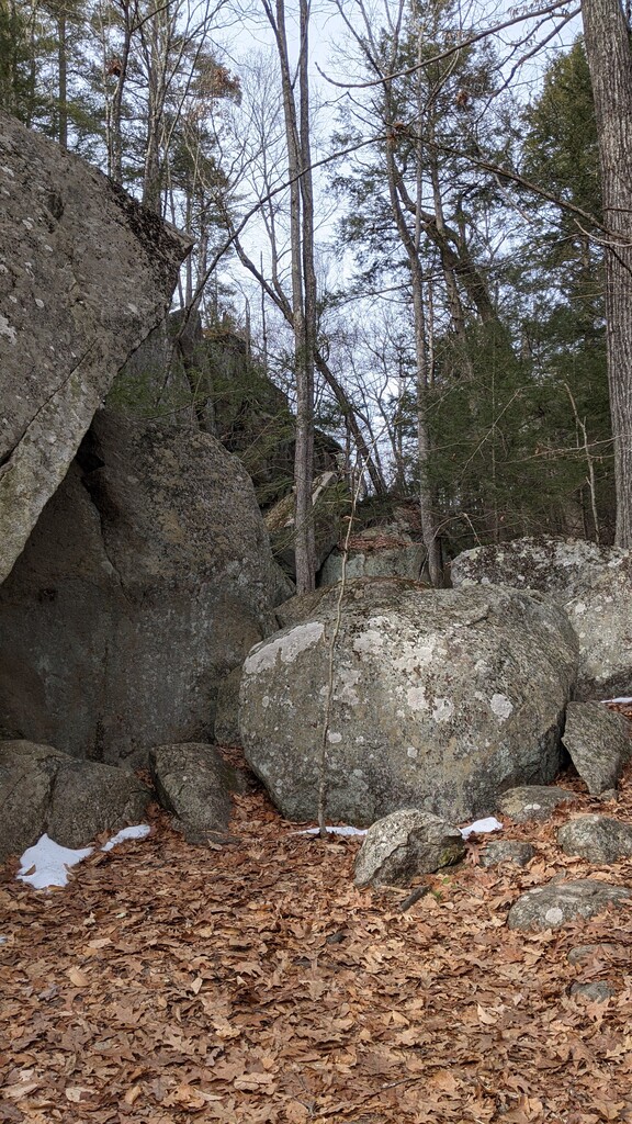
Description
GPS Track
Pawtuckaway.gpx2.13 MB
FKTs
Female
Male
| Lexi Jackson | 1h 36m 3s | ||||
| Torey Brooks | 2h 16m 11s |
| Keith Nadeau | 1h 38m 48s | ||||
| Matthew LeBlanc | 1h 59m 27s |
Images