The Peterborough Green wheel is a mixture of cycleways, quiet country roads and flatten gravel paths. It is mostly marked cycle way route 21/12.
https://www.pect.org.uk/projects/green-wheel/?gclid=EAIaIQobChMI6s2jyvHc6gIV0cDACh1xhAGjEAAYASAAEgIlF_D_BwE
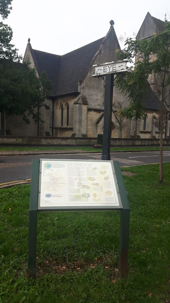
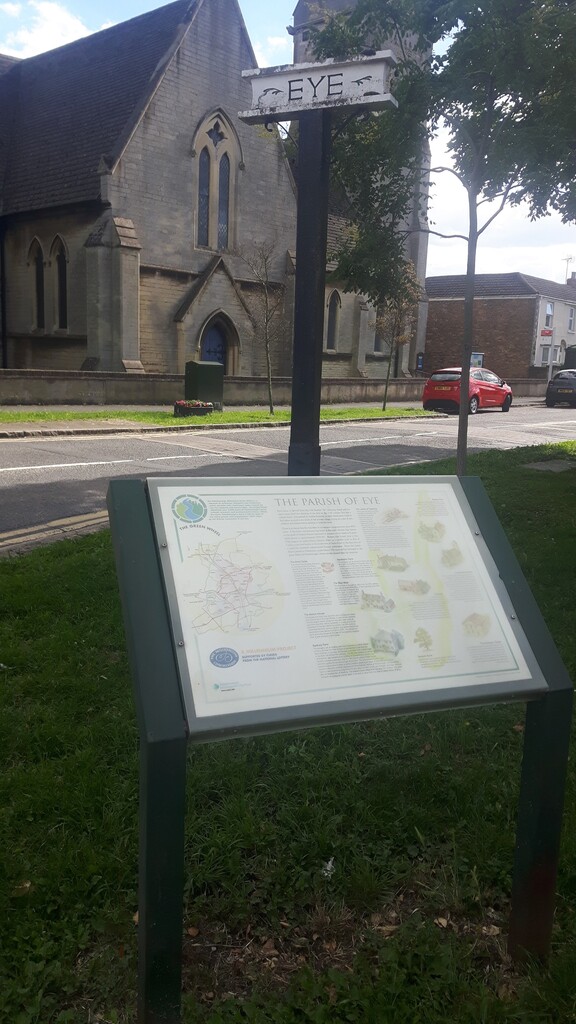
I started in Eye as it is furthest from Ferry Meadows which has the only toilets/water during daylight hours and headed clockwise.
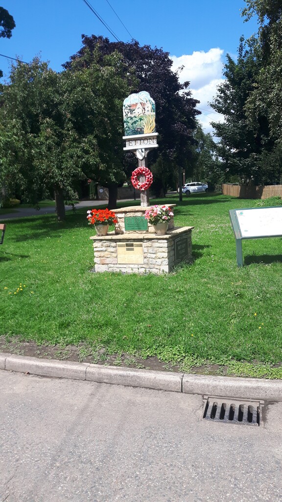
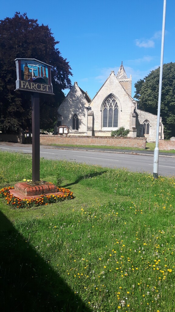
From Eye you run past the church towards Flag Fen, a bronze age settlement, you carry on along the road until you see a turning to the right. This will take you along a lovely shady path, past lakes at 2 miles you will arrive back on a road turn right and head for signs for Flag Fen. Run pass Flag Fen then left on the bank of the Nene towards Whittlesey across the Millenium bridge then right towards Stanground Lock. The cycleway curves around the back Stanground and eventually brings you out in Farcet. You need to go ahead onto Middle road then right up the hill into the centre of the village, left past the church and then take the right turn for Crown Lakes Country Park. There are two paths here but both end up at a railway bridge which takes you over towards Hampton Water. Here you cross the road (A15) onto a path which goes through fields and past lakes eventually coming out onto a road. Turn right and follow this quiet country road under the A1 into Haddon. Keep to the 'main' road and follow it all the to Bullock Road then turn right. All the way along past Elton Furze golf course. Now is the busy part. Turn right onto the Oundle Road heading for Chesterton there is no path here for 1.5 miles so be careful! Keeping going past Alwalton until you see the Marriott Hotel turn left and the roundabout and you will see a path forming. This will lead into Ferry Meadows Country Park. This path leads to the Watersports Centre - here I filled my water bottles and used the toilet. Once sorted you head back the way you came and are going clockwise around the Gunwade Lake - follow the path and keep the water to your right. At the junction turn left for Milton Ferry Bridge. Over the bridge and turn left and climb the hill. At the top turn right, over the A47 and then immediately left or will end up on the dual carriageway! This road will take you past the Milton Estate - lots of signs to say stay out! Do be careful there are some less considerate drivers along here and usually lots of cyclists. The will take you into Marholm, interesting church on the left in the middle of field on the left. Here go straight over the crossroads on to some lovely country roads. After two miles there is a rail crossing - this can be busy. You have to ring a bell and wait. Carry on until you reach the Glinton Road - straight over the crossroads heading for Etton. Another pretty village and nice pub/restaurant. Keep going until you cross a humpback bridge then about 0.5 mile you will see a path marked with the blue cycle signs for Glinton and Peakirk. Follow this nice path through a copse and upto a main road - here go right and then left straightaway. This area is called Seven Bridges - I'll let you guess why! Continue on this road until you see a road to the right for Glinton. Carry on here and it will take you into the centre of Glinton turn right and stick on the cycle way - crosses the road into the next village Peakirk. Again another pretty village with a good pub/eatery. Big turn here towards Newborough - marked with blue signs. Watch as the path vanishes here for 200m going across the railway tracks - on the left you will see the next part of the path. This path curves around Thorney bank - you will see Crowland Abbey and a white water tower in the distance. 4 miles later you will see a path to the right - this is the second turning - this will take you onto Willow drove. This road is a green lane so car 'should' give way to you... I won't take the chance. You will come to a humpback bridge over the crossroads and into Newborough. Turn left at the next crossroads then right past the allotments. At the end of this road turn left. You will come to an underpass under the A16. Follow the path all the way to Green Road. Left here then right at the end. Nearly there. On the left cross the overpass and back into Eye.
Comments
thank you for adding this!!
You are welcome - enjoy :)
Going to be running this unsupported on the 20th November as all my races are cancelled!