BLM website description (link at the bottom) :
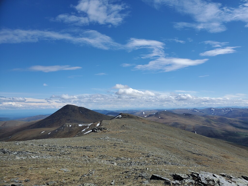
Sweeping mountain vistas and brilliant wildflower displays under the unceasing light of the midnight sun, the Pinnell Mountain National Recreation Trail offers an unforgettable experience whether your visit lasts a few hours or a few days.
Located approximately 100 miles (161 km) northeast of Fairbanks, this 27-mile (44 km) hiking trail traverses a series of alpine ridge tops entirely above timberline. The trail was built for hikers, but is open to all forms of non-motorized use.
The Pinnell Mountain Trail is marked with rock cairns as it crosses open tundra with views north to the Yukon River and south to the Alaska Range. Wooden posts along the trail show the mileage from the start at Eagle Summit to the trail's end at Twelvemile Summit. Two shelters provide refuge from storms, but hikers should come prepared for unpredictable, dramatic alpine weather. Finding drinking water along the trail can become difficult later in the summer, when snowfields and small ponds dry up. Water is generally available at both shelter cabins, where catchment systems collect melting snow and rain.
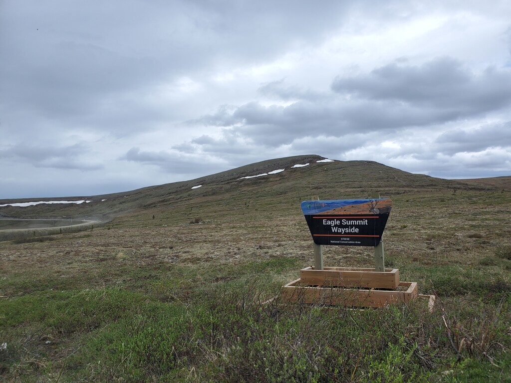
An accessible interpretive loop trail leads to an observation deck near the Eagle Summit Trailhead.
BLM website Link: https://www.blm.gov/visit/pinnell-mountain-trail
Link to PDF map: https://www.blm.gov/sites/blm.gov/files/documents/files/Maps_GeoPDF_Alaska_Pinnell-National-Recreation-Trail.pdf