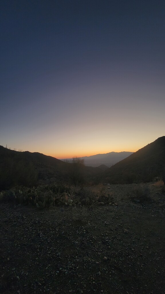
This 50-mile route starts at the Robles Trailhead on the south end of Tucson. It opens with a full loop through Robles Pass Trail Park, covering flowing desert singletrack with views of Golden Gate Mountain and the Tucson Mountains. From there, the route heads north, crossing under Ajo Way via a pedestrian underpass and entering Tucson Mountain Park.
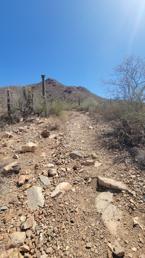
Once inside the park, the course loops around Bobcat Ridge and Little Cat Trail, technical and rolling terrain that tests early pacing. After completing that section, it cuts east toward the 36th Street Corridors, linking up with the Yetman Trail. This stretch threads through sandy washes and punchy climbs, continuing to reflect the Sonoran desert backdrop.
After the Yetman, the route exits the trails and hops on Camino de Oeste Road, heading north on pavement for several miles, an opportunity to cruise on tired legs. That road section delivers you to Sweetwater Preserve, where you complete a full loop of its rocky, twisty trail system before exiting back onto the road.
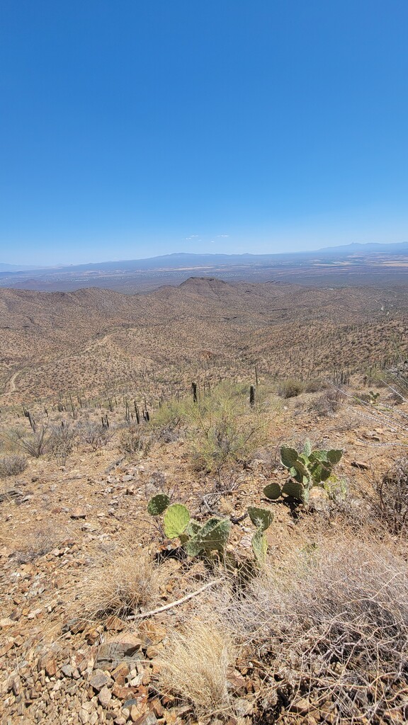
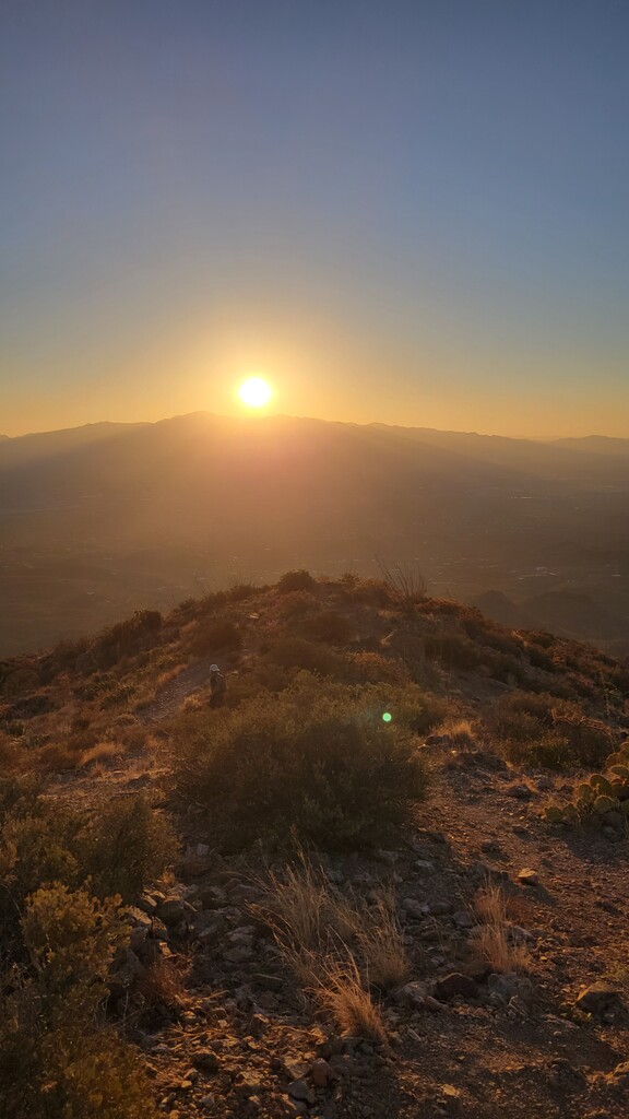
The final push is the most demanding. The route turns west and enters the western section of Tucson Mountain Park, climbing all the way to the summit of Wasson Peak, the highest point in the Tucson Mountains. After taking in the panoramic view, the route descends via the King Canyon Trail, finishing at the King Canyon Trailhead.
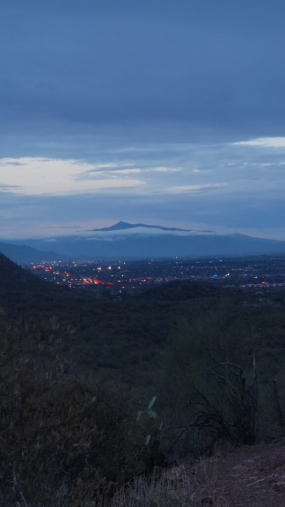
This route connects three major Tucson trail systems, Robles, Sweetwater, and Tucson Mountain Park in a continuous, logical push from the far south to the far west, culminating with a summit finish. It blends runnable desert flow, rugged climbs, road transitions, and technical descents. It's a full showcase of Tucson’s trail network and a ture all day test of endurance.