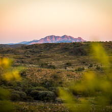
Route: Rwetyepme (Mt. Sonder)

Submitted by piotrbabis on Thu, 06/06/2024 - 06:51am
Location
Northern Territory, AU
Distance
15.8 km
Vertical Gain
850 m
Description

Mount Sonder, or Rwetyepme, its Aboriginal name,  is  the fourth highest mountain in Northern Territory at 1,380 metres

It marks the western end of the Larapinta Trail, a 231 kilometres walking trail that extends from Alice Springs.

The trail can be accessed from the Redbank Gorge car park and the FKT is an up & down route.

GPS Track
Images