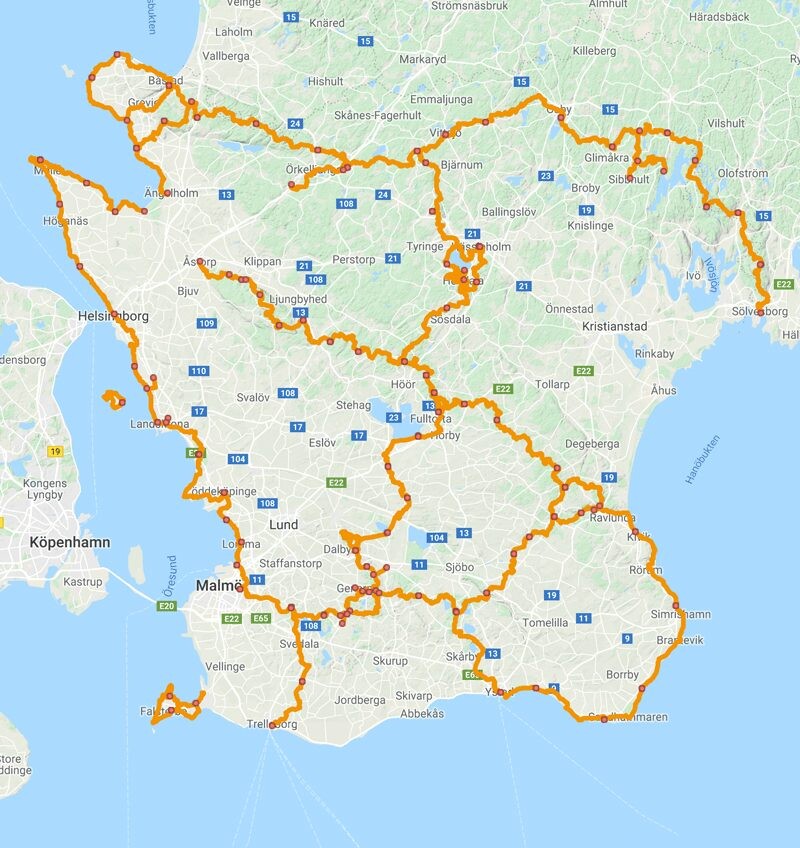
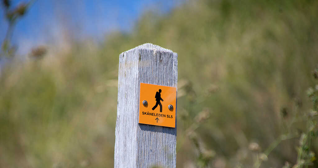
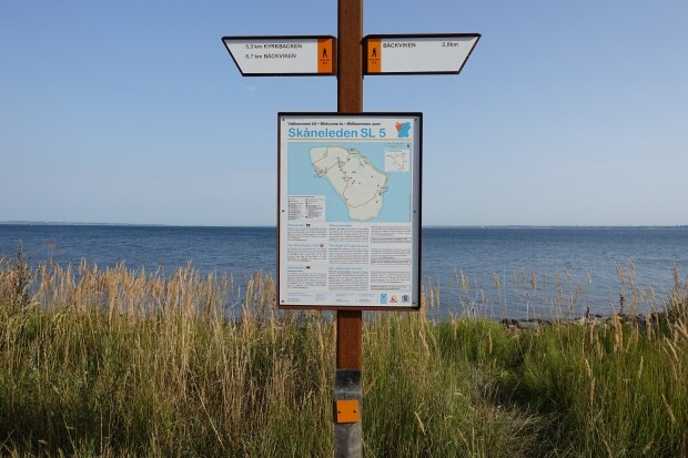
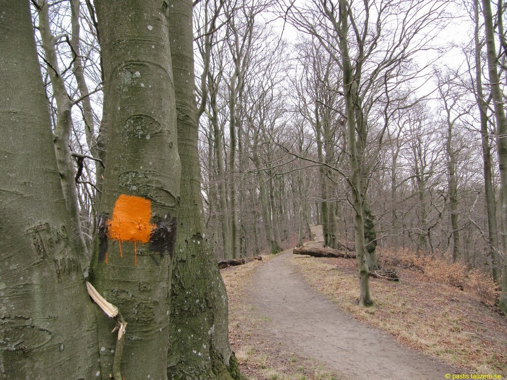
Skåneleden (Trails of Scania; https://www.skaneleden.se/en) is the largest network of hiking trails in Skåne (Scania) the southern most landscape of Sweden. Several of the defined long-trails have already been posted at FKT. However, with the map tool at the homepage it is possible to merge together other sections and in fact the whole system. An interesting option is to merge the longest circle possible, made from SL5 (https://fastestknowntime.com/route/skaneleden-sl5-malmo-utvaling-sweden) and large sections of SL1 (https://fastestknowntime.com/route/skaneleden-sl1-kust-sweden), SL2 (https://fastestknowntime.com/route/skaneleden-sl2-trelleborg-harsjo-sweden), SL3 (https://fastestknowntime.com/route/skaneleden-sl3-sweden) and SL4 (https://fastestknowntime.com/route/skaneleden-sl4-sweden). This makes a 650 km (400 miles; half of the whole trail system) single loop ideal for multi-day Fast packing, Trail-ultra running and Hiking adventures across all of the landscape. This new route is termed the SL-Ultimate since it is the longest circular trail of the SL system. The system is designed to pass many shelters, options for water and WCs, parking places, train- and buss stations, stores, cafe's, camping sites and more for an easy planning. Like other landscape trails in Sweden the trails are clearly marked with orange markings on trees or poles. At cross-sections there are clear signposts. It is important to follow the signs/sign-postings on ground rather than a GPX in the watch/app. There may have been changes that are not updated on the maps.
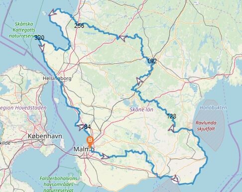
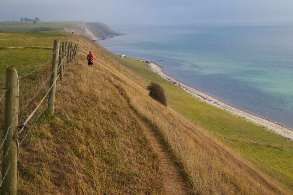
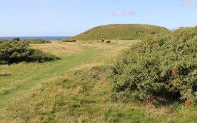
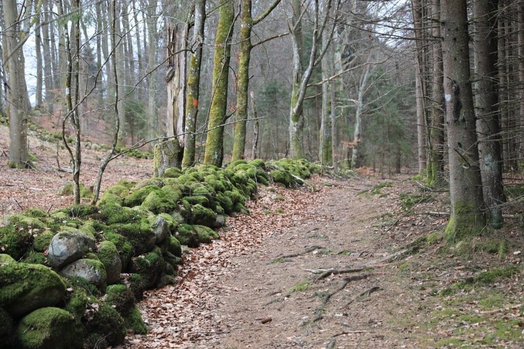
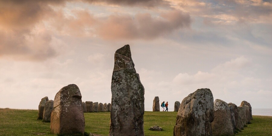
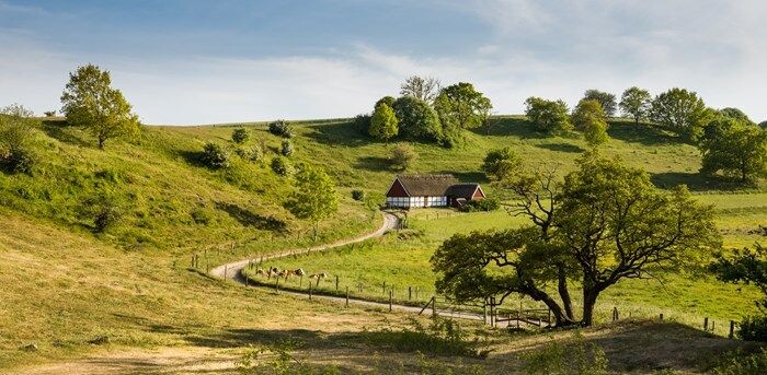
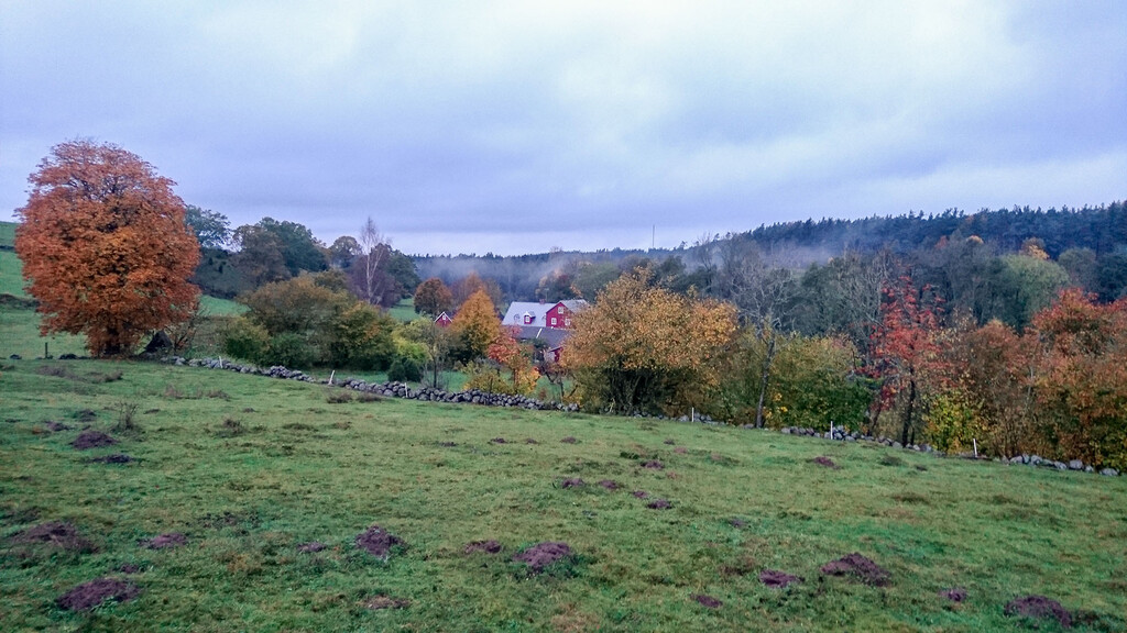
This new ultimate trail follows several parts of the cost-lines to the west and north-west and also to the south-east. Many stretches are sand beaches without real trails so following the seaside is fine, however do notice when the trail leaves the seaside to not miss the path. Inland the trail follows many stream and lakes but also heads into several deep forests and goes over the NW-SE ridges that defines the landscape. In other words you will experience basically everything that Skåne has to offer of natural beauty, culture, heritage, open landscapes, seaside, forests, cliffs, views and tranquility.
The GPX map was first pulled from the homepage by merging the respective sections. However, this did make some funny jumps here and there due 'direction clash' and also a few tiny gaps. The whole circle was then redrawn based on the downloaded tracking and merged together in different parts. For most parts it was easy to understand which trails had been used (at the homepage some sections were drawn on map originally, while others were tracked by a GPS devise, this is obvious from the small discrepancies), however, there might be a few places where the GPX map is not fully correct either due to parallel paths or rerouting. In case you encounter this please report so that the path can be revised. The sections on the homepage often encompass trails to and from shelters or other places that show up as appendices to the main route. Most of these appendices have been removed to create a true through-trail. Please consult the homepage for an overview of the options for side trails with shelters, water and other options.
The SL-Ultimate can be done in either direction and to an from numerous places.
Other related trails are Kullaleden (https://fastestknowntime.com/route/kullaleden-71k-sweden) and Hovdalaleden (https://fastestknowntime.com/route/hovdalaleden-sweden).
Cheers
Torben
Comments
I will try to run it with support with start 29 July at 06:00 in Malmö. If you want to follow the adventure, my partner will update on instagram:
https://www.instagram.com/skaneledenultimate?igsh=dWNmbmw2cDZwanZy