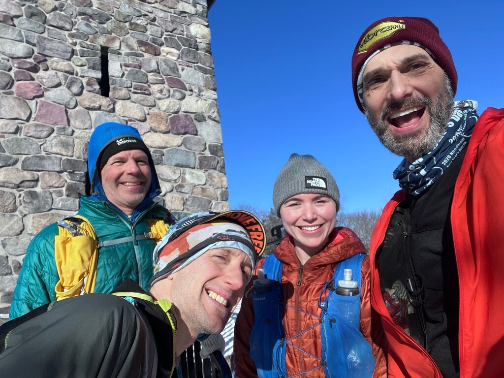
The greater Boston area has two very popular and distinct trails, each called the Skyline Trail.
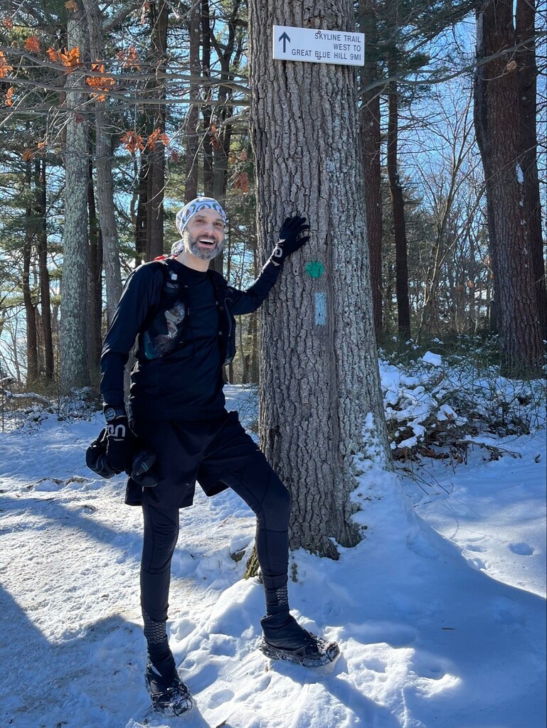
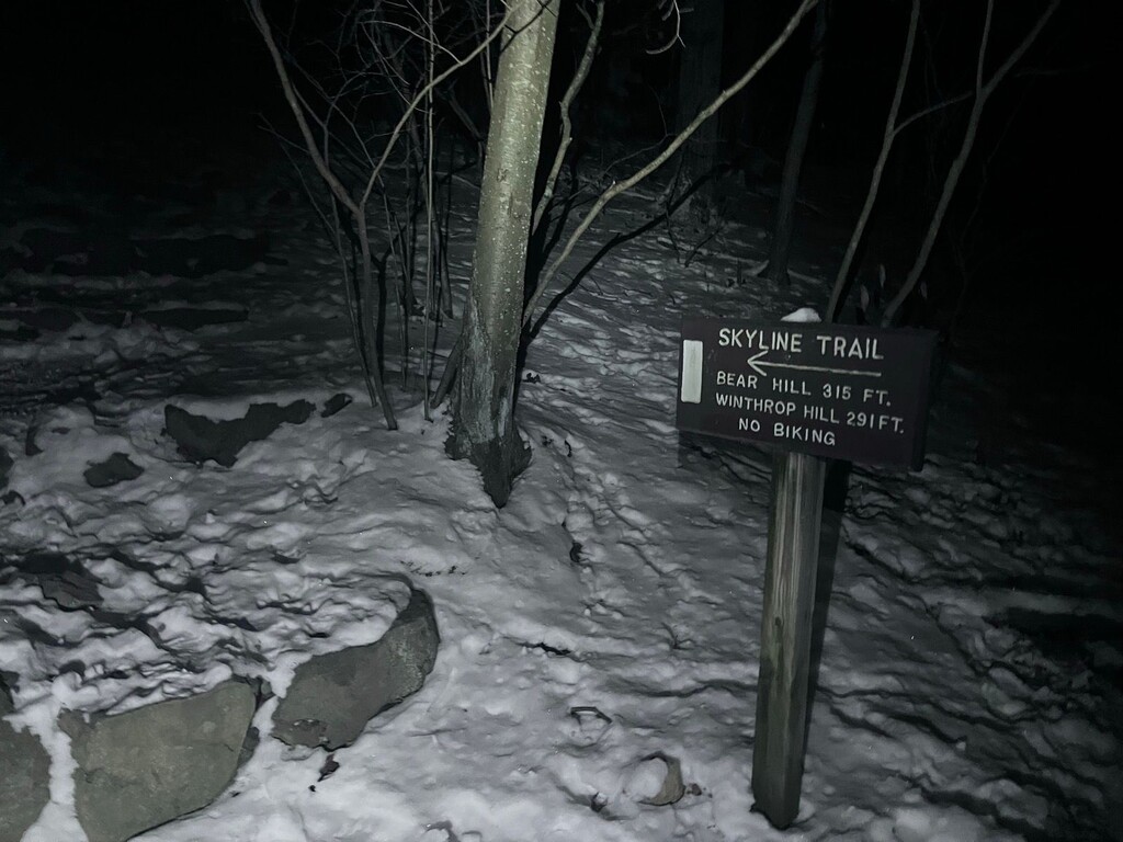
One is located at the Middlesex Fells Reservation, north of the city. https://www.mass.gov/doc/middlesex-fells-reservation/download
The other is located at the Blue Hills Reservation, south of the city. https://www.mass.gov/doc/blue-hills-reservation/download
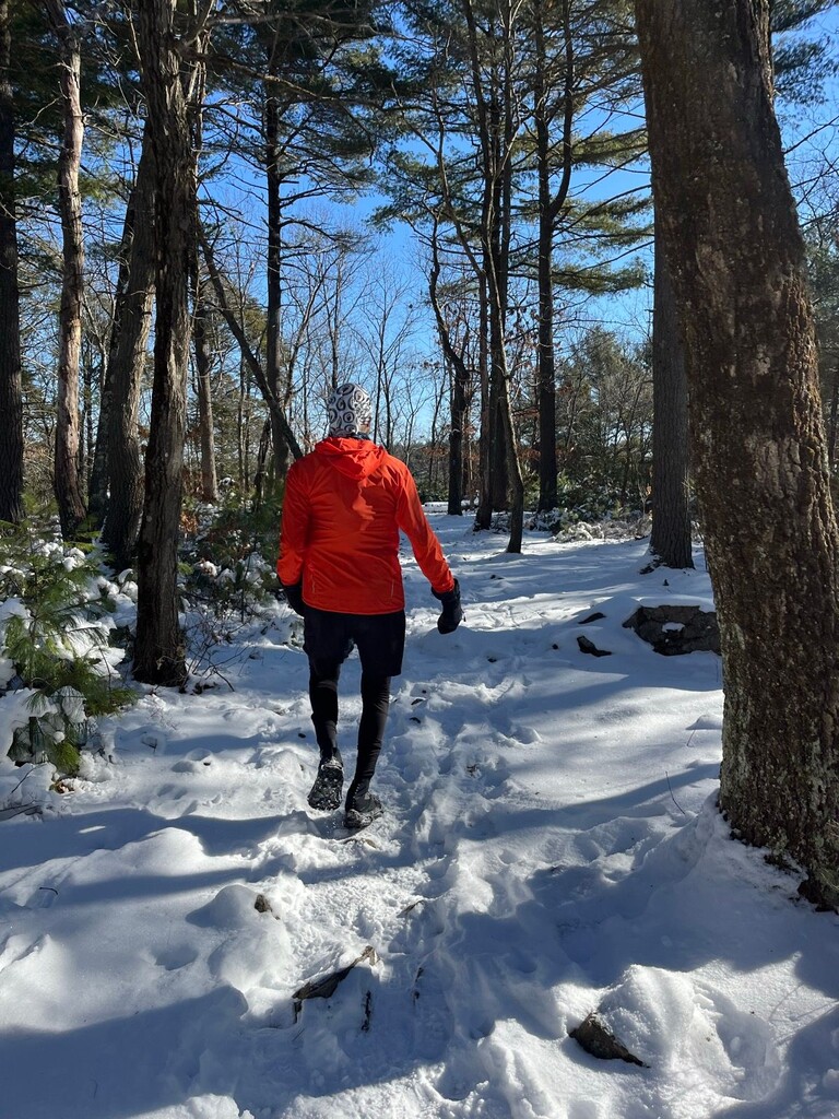
This is a route that includes both, and connects them. The route is an out-and-back that starts near the furthest north part of the Middlesex Fells Skyline Trail (Bear Hill Parking Lot), goes to the furthest east end of the Blue Hills Skyline Trail (Shea Rink Parking Lot), and then returns to the starting point. Both the Blue Hills North Skyline and South Skyline sections are included in the route, and may be completed while either doing the “out” or “back”. The route traverses one side of the Middlesex Fells Skyline Trail at the beginning, and closes the loop by doing the other side to finish. To connect the two distinct Skyline Trails there are roads and streets which are considered an “open course.”
The total route is approximately 58 miles and includes about 6100 feet of elevation gain.