Marcy Beard submitted this route in the South Bay area:
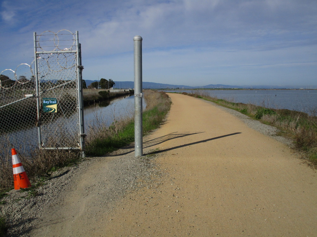
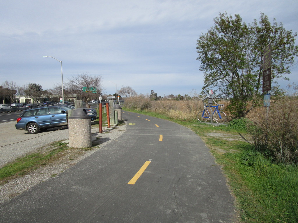
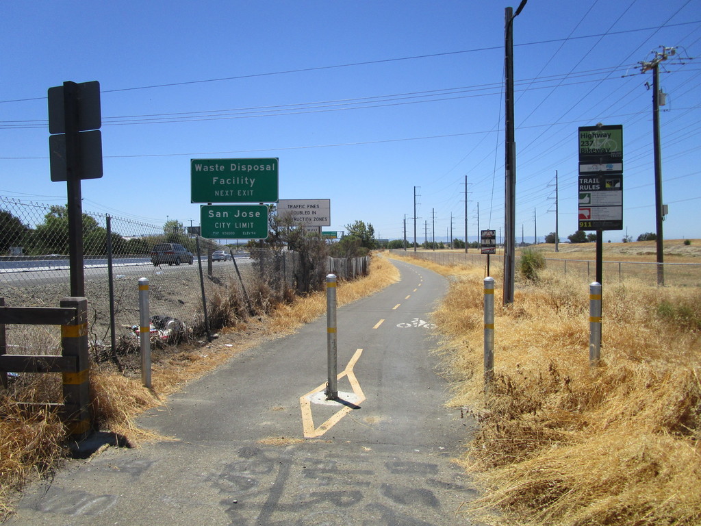
This is a route I've used several times in training. It seems like an interesting FKT loop run, consisting of bike paths (paved and dirt), roads, sidewalks, and sections of the Bay Trail. I've modified it to remove any possibly-illegal sections (train tracks, pipeline crossing...). I usually run it clockwise but it could be done in either direction - not sure it warrants a separate FKT for each direction. I also imagine a person could start at any point within the loop as long as they finish at that same spot.
I created a Google Maps route for planning purposes:
https://goo.gl/maps/EdjMz8w5ZvC2
(note that Maps oddly doesn't like the left turn directly onto Zanker or the right turn onto Holger)
Please be aware that trail construction can require alterations to this route. For example, there has been a San Francisquito Creek trail closure that might divert a runner onto Bayshore Road to Cooley Ave. And there are signs warning of a pending closure of the Bay Trail along 237 near Lafayette St. (as of Sept 2018; not sure of the alternate route at this point).


Comments
Full route description and photos:
http://marcy-twss.blogspot.com/2018/09/dumbarton-loop-fkt-route-descrip…
I'm planning to try to break 7 hours on this route tomorrow, with caveats (as usual) - it's a rainy weekend and I'm not sure how the dirt sections will hold up, so this could turn into just a training run if it's muddy/sloppy. I don't normally have the pressure of chasing a clock, we'll see how that works out. InReach will be running: https://share.garmin.com/MarcyBeard