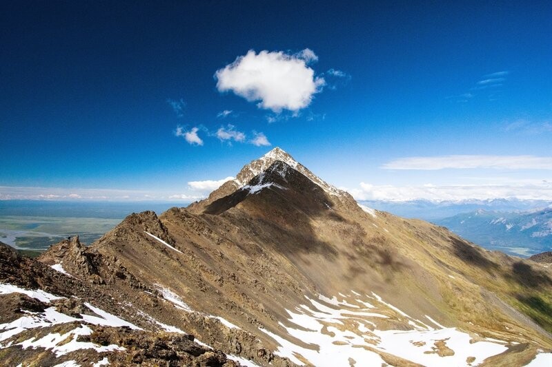
Rising straight out of the Knik River valley near sea level, the climb to South Pioneer Peak is a classic, aesthetic, and relentless vertical climb. It offers one of the most direct, continuous vertical gains in the Chugach Range.
The timer starts at the bottom stair of the Pioneer Ridge Trail at mile 4 of Knik River Rd. The trail begins in winding forest and brush for 2-2.5 miles before breaking treeline near 2.5k vert. From there, the trail ascends alpine tundra and high-angle switchbacks until you meet the high saddle/ridge around 5.2k. From the ridge, the line turns northeast toward South Pioneer Peak beginning as rolling, lightly ascending terrain and progressing steeper to off-and-on class 3 scrambling to the peak. Stand on the summit boulder and run back!
The FKT route is a round trip effort. Timer stops on return to the parking lot.
Water: in the summer, water is readily available via small streams up until about 1.75 miles in (before the first picnic table). After the table, water is sparse but usually could be collected from the snowmelt stream near the ridge turn off around 4.5 miles if needed, but requires a very small descent from the trail.