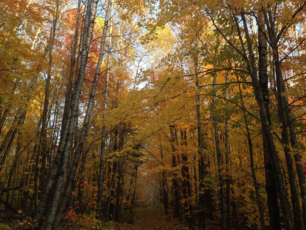
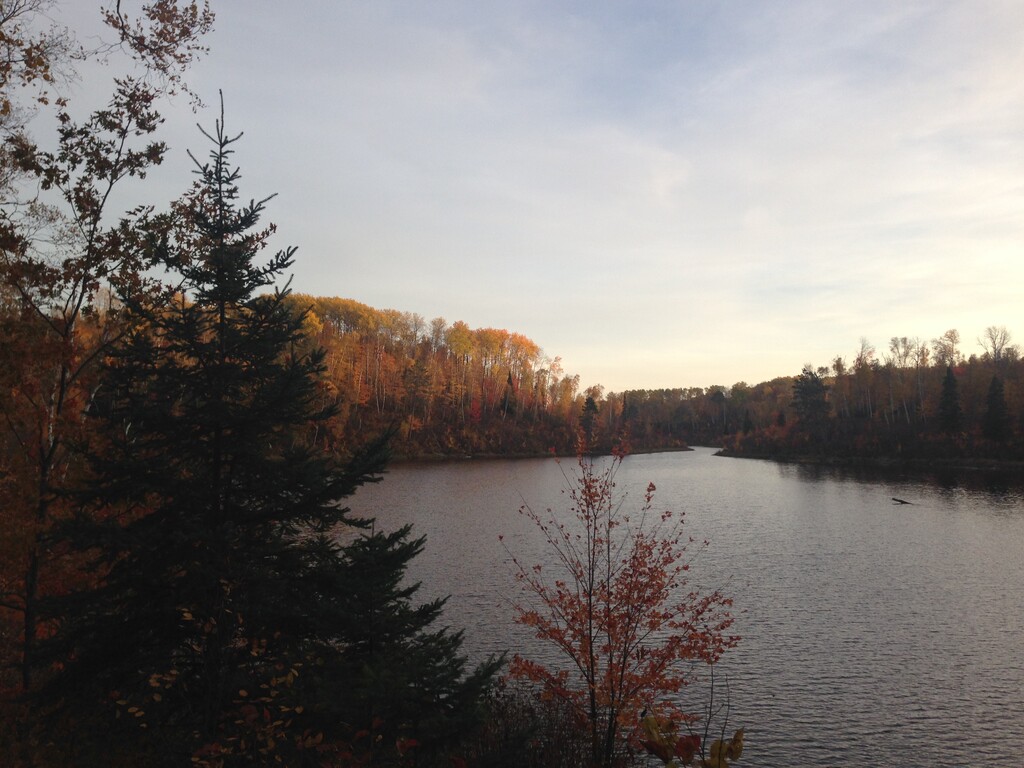
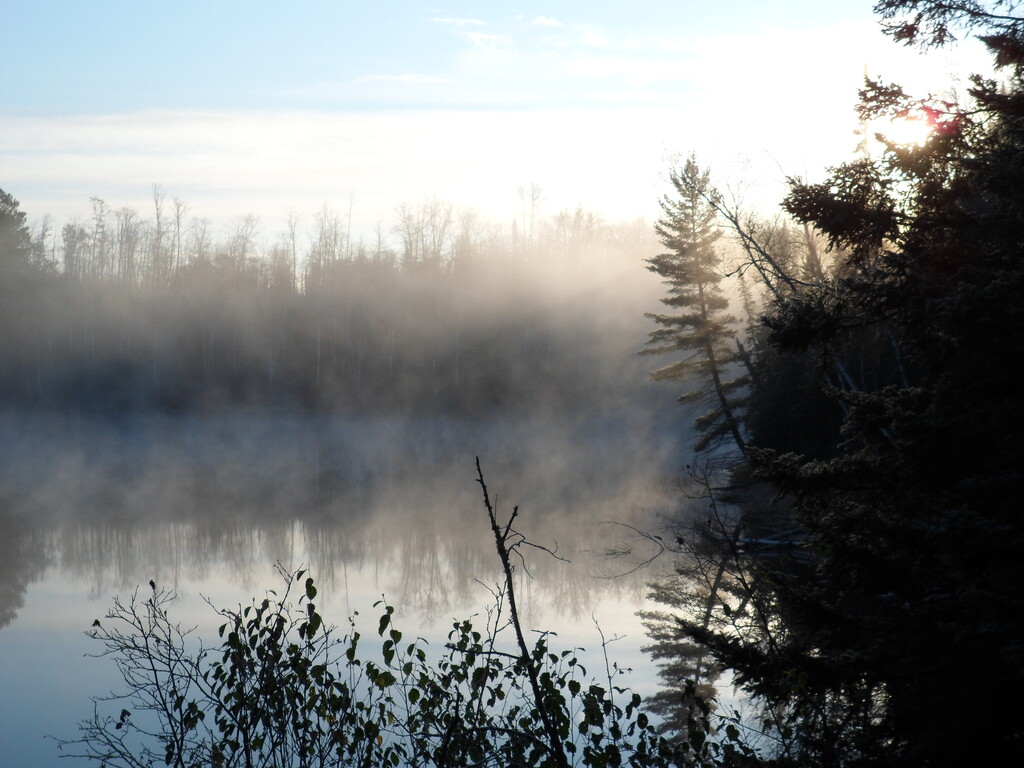
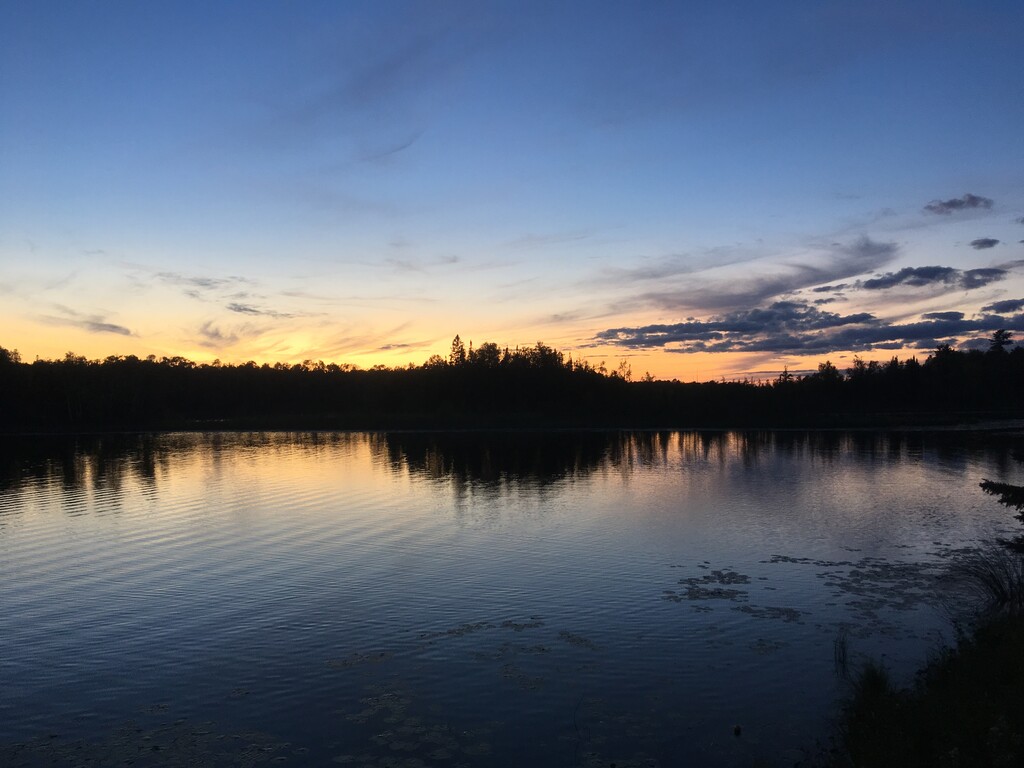
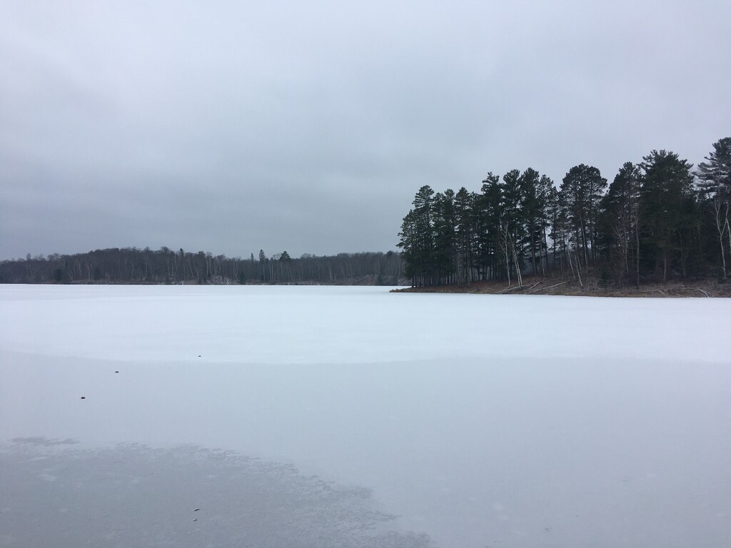
The Suomi Hills Recreation Area contains some of the most beautiful trails and lakes in the Chippewa National Forest. It is the first National Forest east of the Mississippi and has abundant lakes and wetlands. Suomi is the name of a small community in the area and is a Finnish word that refers to Finland. It was settled by Finnish immigrants in large part because the hills and lakes look similar to those in Finland. This area sits right on the North/South continental divide.
This route is based on the White Mountain NF Redline, where you run/hike every trail in the area and mark it off on a map with a red marker as you complete it until you cover every trail. You can (and need to in certain areas) run trails more than once and you can drive/run between different trailheads but all the trails should be covered on foot. All campsites are traditionally visited but not all tent-pads or privies. Part of the challenge is trying to figure out how to cover all of the trails with the least amount of backtracking.
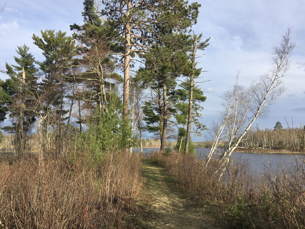
The Suomi Hills have around 23 miles of trails with about 2,700 feet of elevation gain by my best estimates. You will likely put on at least 27 miles to hit all the trails. There are several trailheads to choose from and most of the intersections are well marked with a “you are here” dot on a small map. There is one newer trail on the SW
corner of the Doctor Lake loop that isn’t yet on the free paper maps available at the two main trailheads. These trailheads are 14 and 18 miles north of Grand Rapids on State Highway 38. There are many beautiful lakes, some with campsites on islands. September and early October have gorgeous fall colors.
https://www.fs.usda.gov/Internet/FSE_DOCUMENTS/fsm9_016517.pdf