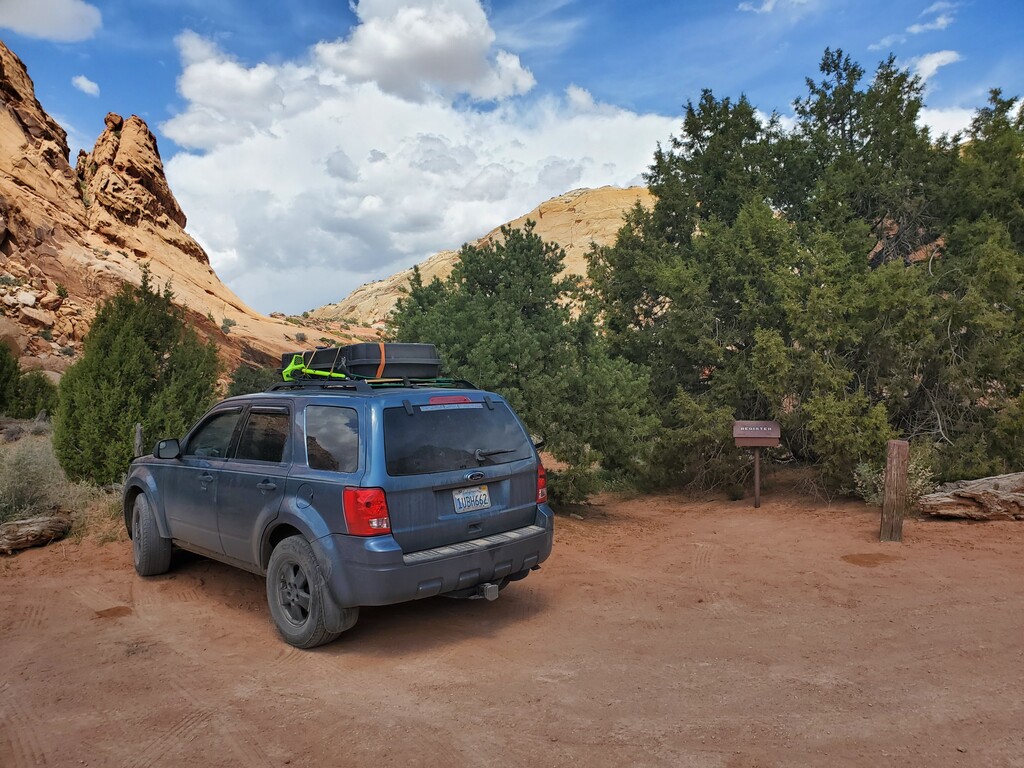
One cannot imagine Utah without sandstone and canyons, this is a submission for the uniquely beautiful Upper Muley Twist Canyon/Rim Loop, starting from the 2wd trail register, as described on the Capitol Reef National Park Website:
“Upper Muley Twist Canyon cuts lengthwise along the spine of the Waterpocket Fold creating a colorful, meandering canyon. The Navajo and Wingate sandstone layers are exposed here, tilted by the uplift and folding of the Earth’s crust and sculpted by millions of years of erosion. The Wingate, stripped of its protective Kayenta cap rock, has eroded into unusual forms including many large arches. The rim route in Upper Muley Twist Canyon provides outstanding views of the Waterpocket Fold and the surrounding area.
Highlights of the hike are narrow canyons, expanses of slickrock, large arches, and dramatic vistas from the top of the Waterpocket Fold. The route is marked with rock cairns and signs, but carrying a topographic map is recommended. It is extremely hot in summer and water sources are unreliable; carry adequate water. Use caution in narrow canyons, particularly during the flash flood season (typically July–September). Free backcountry permits are required for all overnight trips and can be obtained at the visitor center.
This route is not an official, maintained trail. Route conditions, including obstacles in canyons, change frequently due to weather, flash floods, rockfall, and other hazards. Routefinding, navigation, and map-reading skills are critical. Do not rely solely on unofficial route markers (rock cairns, etc.); they are not maintained by the National Park Service (NPS), may not indicate the route in this description, or may be absent. [route is rated as difficult]
Route Description (after running up the 4wd section of road):
From the Strike Valley Overlook parking area,
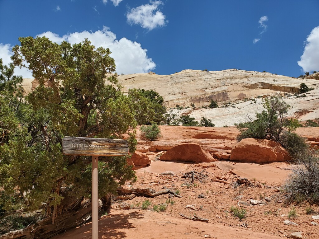
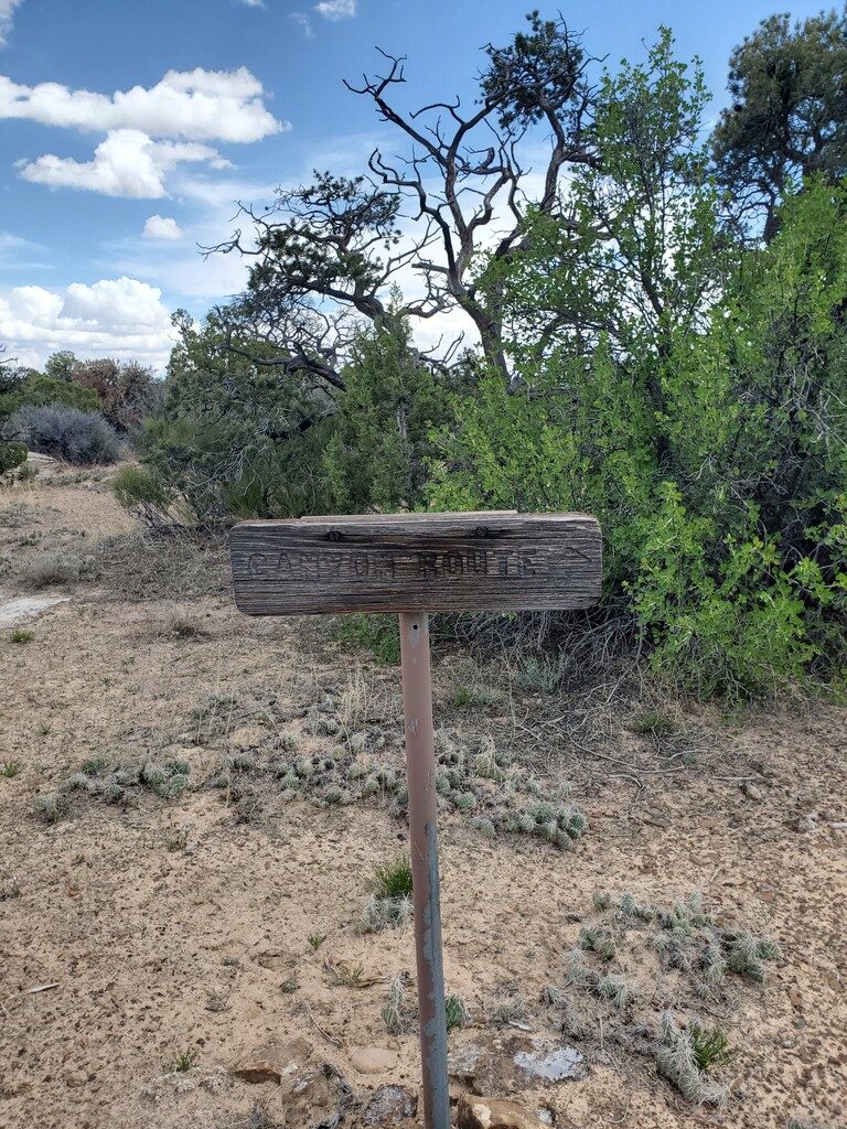
it is an easy 1.7-mile (2.7 km) walk up the wash to Saddle Arch where a sign indicates the rim route. The loop portion of the Upper Muley Twist Canyon hike begins here and can be done in either direction. Hiking clockwise, beginning with the canyon portion and returning via
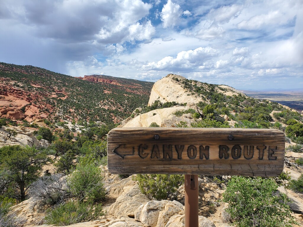
the rim route, will offer a more gradual climb. Beginning with the rim route and hiking in a counterclockwise direction will get the most strenuous part of the hike over at the beginning. The loop is cairned but requires careful attention as some sections of the trail deviate from the anticipated route to bypass obstacles. To access the rim route and hike the loop in a counterclockwise direction, leave the wash near Saddle Arch and follow the cairned route on the right (east) side of the canyon to the top of the Fold.
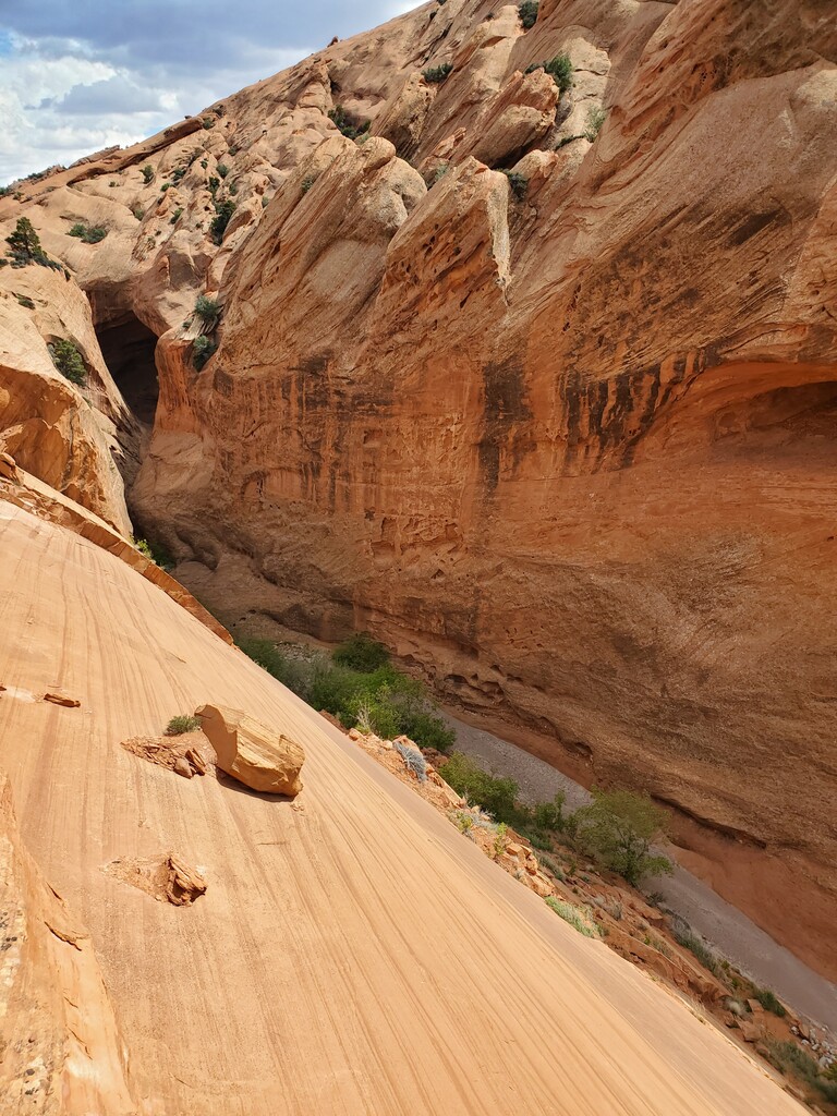
To follow the loop in a clockwise direction, continue up the canyon in the wash. The narrows are 2.3 miles (3.7 km) beyond Saddle Arch. Cairns mark a route around the narrows on the right (east) side of the canyon. It is easy to miss this bypass route if you are not watching for cairns. It is possible to explore the narrows, but a pour-off near the beginning requires a difficult climb using old hand- and toe-holds carved into the rock. The narrows end at an impassable pour-off where water can sometimes be found. Large letters painted on the rock wall mark one wheel drive, can drive 2.9 miles (4.7 km) up the canyon to the Strike Valley Overlook parking area. Check at the visitor center for the latest road conditions before driving into the canyon with high-clearance two-wheel-drive vehicles.
corner of an old uranium-mining claim.
A short distance up the canyon from the point where the narrows bypass trail drops back into the wash bottom, an NPS-placed sign marks the point where the trail climbs out of the canyon to the rim. At this point you can continue back to Saddle Arch along the rim route or return the way you came. At the sign, the trail turns east and requires a steep climb and some scrambling to reach a second sign that marks the upper end of the rim route. The rim route involves some scrambling over steep, exposed slickrock and can be a little tricky when carrying a backpack. Use caution, especially if wet or icy conditions exist. The route along the rim is cairned. Three- quarters of a mile (1.2 km) from the upper (north) end of the rim route you will cross a short, steep notch in the crest of the ridge. One mile (1.6 km) farther, shortly after traversing another saddle in the ridge, you will climb up over steep slickrock ledges to get back on top
of the rim. Stay near the west (right) edge and watch for cairns leading over this obstacle. As you approach the lower (south) end of the rim route, watch for an NPS-placed sign directing you right (west) to the route that drops back down to the canyon bottom. The rim is fairly wide in this area, and it’s easy to miss the route down if you aren’t watching for cairns. Back in the canyon bottom, retrace your route 1.7 miles (2.7 km) down the wash to the parking area. Then back down the 2wd parking area.
Route Distances - - -
Upper Muley Twist Canyon trailhead (at Burr Trail Road) to Strike Valley Overlook parking area: 2.9 miles (4.7 km)
Strike Valley Overlook parking area to Saddle Arch: 1.7 miles (2.7 km)
Saddle Arch to start of narrows: 2.3 miles (3.7 km)
Start of narrows to rim route (upper access): 0.6 mile (1.0 km)
Saddle Arch to upper end of rim route (via rim): 2.7 miles (4.3 km)
Total distance of loop portion of route: 5.6 miles (9.0 km)
Total round-trip from Upper Muley Twist Canyon trailhead (at Burr Trail Road): 14.8 miles (23.8 km)”
Resources for further research:
https://www.nps.gov/care/planyourvisit/upper-muley-twist-canyon.htm
https://www.nps.gov/care/planyourvisit/upload/Upper-Muley-May15-low-res-locked-for-web.pdf
https://www.hikingproject.com/trail/7014784/upper-muley-twist-canyon-trail
https://www.roadtripryan.com/go/t/utah/capitol-reef/upper-muley-twist
Guidebook “WOW Guides: Utah Canyon Country”
~submitted by Jason Hardrath