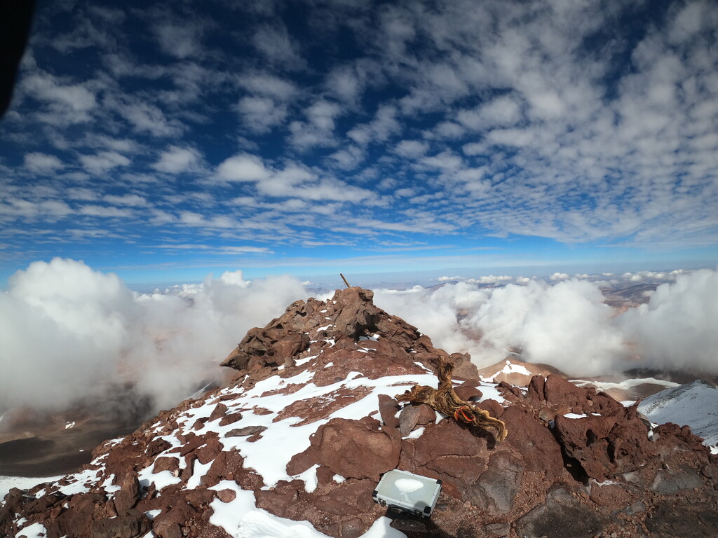
Route: Volcano Copiapó (Chile)

Submitted by TylerCAndrews on Fri, 01/28/2022 - 03:33pm
Location
Atacama, CL
Distance
7.91 km
Vertical Gain
1,817 m
Description

Volcan Copiapó (6052m) is probably the easiest (from a technical perspective) and most accessible 6000m peak in the Puna de Atacama, if not the world. This makes it super runnable and a great training peak for other 6000m mountains and a good place to practice moving quick at high altitude.

The trail head is reached via mining access roads and you'll probably want a high clearance vehicle to get there.

From there, follow the canyon until you see a line up the wall on the left hand side. This takes you to a wide high ridge, from where you can see a steep slope leading up to the true summit. Head straight toward it and then send it directly up the fairly steep scree face towards the twin summits. The true, high summit is on your right. Once you get close, scramble up onto the rock ridge and follow that to the true summit where you'll find a cross and summit book.

There's often no snow at all on this route (you can see from below), so crampons are generally not necessary.

GPS Track
Images