Location
California,
US
Distance
49.04 mi
Vertical Gain
8,069 ft
Description
GPS Track
RPP GPX.gpx7.42 MB
FKTs
Male
Female
| Wyatt Barrett | 12h 29m 23s | ||||
| Wyatt Barrett | 14h 57m 9s |
| Carl Mandrioli, Rocky Brown | 20h 32m 34s |
| Elizabeth Prosser, Jasmine Valsaint | 18h 21m 15s |
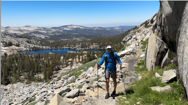
Images
Comments
I'll give this a go tomorrow 05JUL2024 shooting for sub 14-h to be below AH's time.Live tracking will be available here:
https://share.garmin.com/share/ceahenry
Had a great day out there but did not hit goal time! (Actual time: 17:52, trip report: https://www.strava.com/activities/11821980275)
Heading out tomorrow to do a variation of the loop out of the valley. Happy Isles - counter clockwise. Hoping the “cooler” temps will mask the additional elevation gain!
It was a lovely romp! Understandably, the way I did the route does not align with the original description and thus not qualifiable to add my name to the board. I clocked 50.03 miles and 12,452 feet gained and lost taking me a solid 15 hours and 49 minutes and 37 seconds. What the watch won’t tell you is where the snakes are…so keep your eyes peeled! Good luck everyone - which ever direction you choose! Be sure to plan some time to swim at least twice!
https://strava.app.link/Y9UYz2HxHVb
On September 20th, I ran this loop with Connor Williams, starting and ending at Happy Isles. Trailhead-to-trailhead distance seemed to be about 48.8 miles, ~8700ft gain, and we completed it in a time of roughly 11 hours and 40 minutes. This start/end location seemed more logical than the current FKT route. Won't qualify for the FKT unfortunately! Maybe We'll come back next year....
Great route, amazing weather, and didn't see any other people for the middle 40 miles.
https://www.strava.com/activities/15888687810