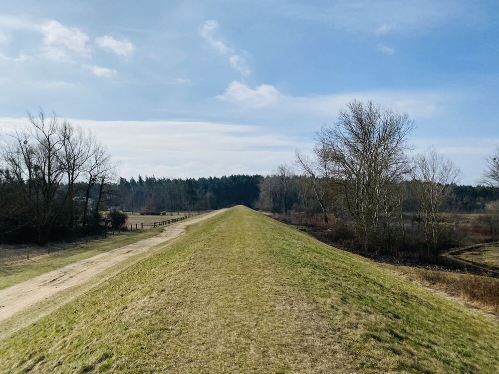
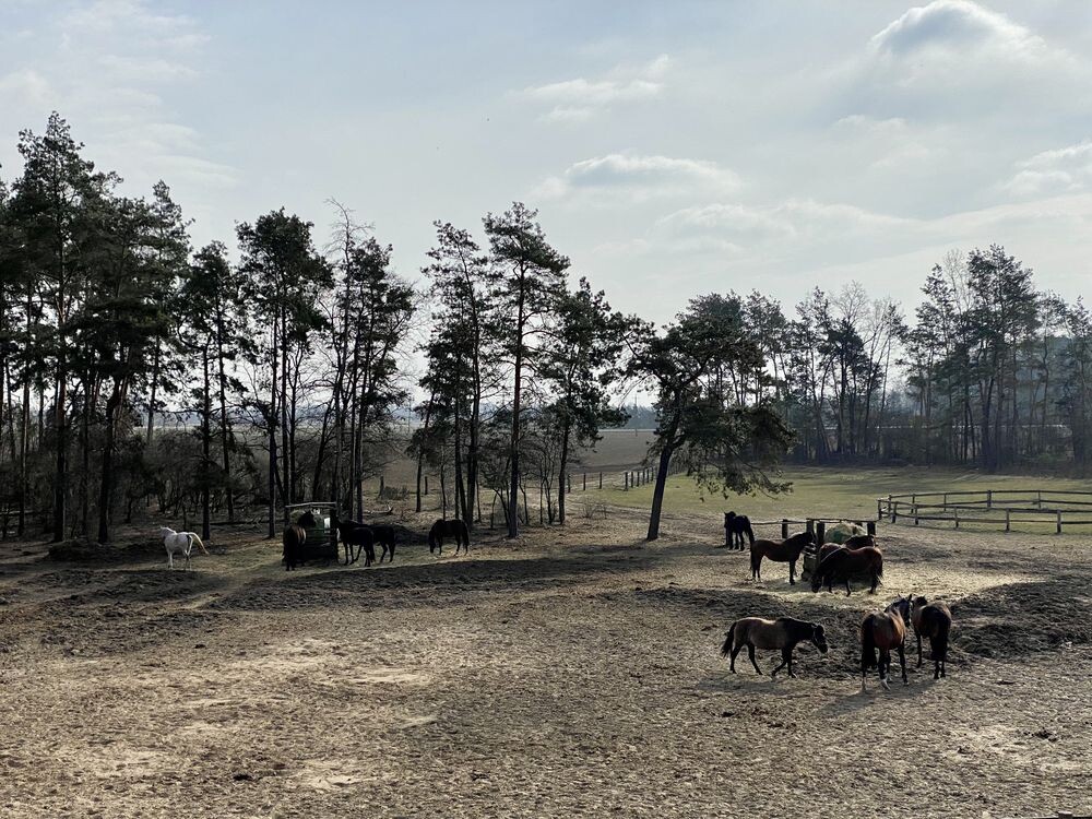
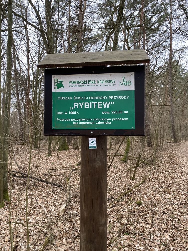
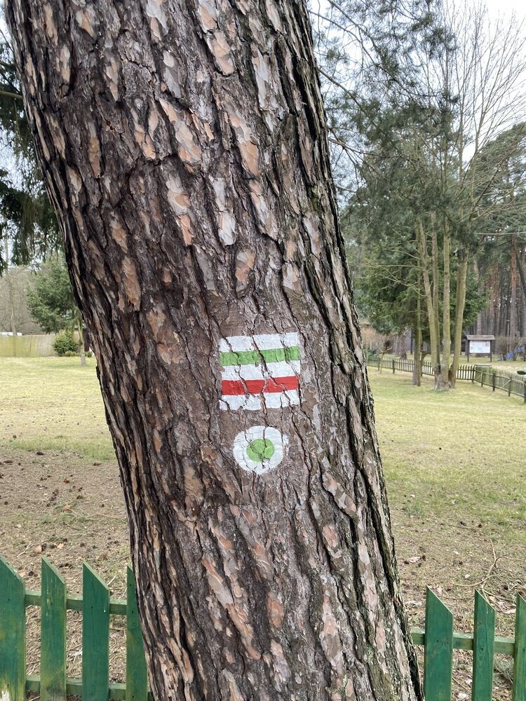
The trail runs along the northern borders of the Kampinos National Park, along forest roads, from Railway Station Modlin along the banks of the Vistula river, through Kampinoskie Powiśle to willage Teofil and Wilków, to then move deeper to Kampinos and finally reach Tułowice. Two fascinating types of landscape of the Park and its buffer zone. In the forest part, there are historic Poleskie Dęby and two strict protection areas: "Czarna Woda" and "Rybitew". On the Vistula ornithological nature reserves; "Wikliny Wiślane", "Zakole Zakroczymskie" and "Kępy Kazańskie". Next to Kazuń, the mighty Napoleonic Topole in the "Ruska Kępa" reserve. Initially, the route seems quite urbanized. It starts at the railway station in Modlin and then for the next 12 km we will move on asphalt in the vicinity of villages and houses or along the Vistula embankment "Middle Vistula Valley". Then, through the forest, where we will head north-west. I would definitely recommend this trail later in spring. It is quite wild with many tree dumps in protected areas. The trail is quite hard and dry. Only in places can there be more sand. The entire route is flat. Only at the tip, around 38 km (Góra Czerwińska), we have a few gentle ascents.
Route:
0,0 km Modlin, PKP
4,8 km Kazuń Nowy, PKS
11,0 km Grochale Nowe, brzeg Wisły, rez. „Wikliny Wiślane”,
12,5 km Grochale Nowe, PKS
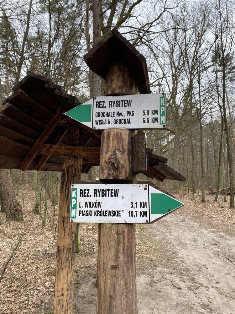
17,5 km obszar ochrony ścisłej „Rybitew”
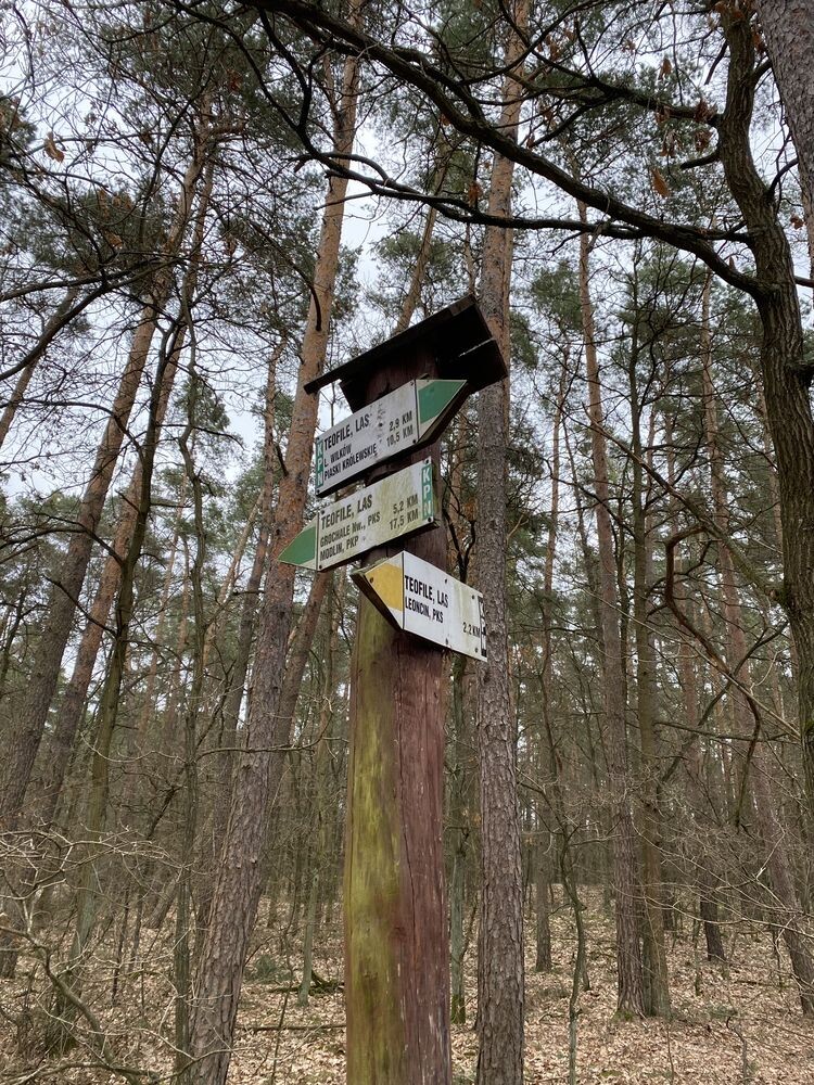
17,7 km Teofile, las
20,6 km Wilków , leśniczówka, obszar ochrony ścisłej „Czarna Woda „
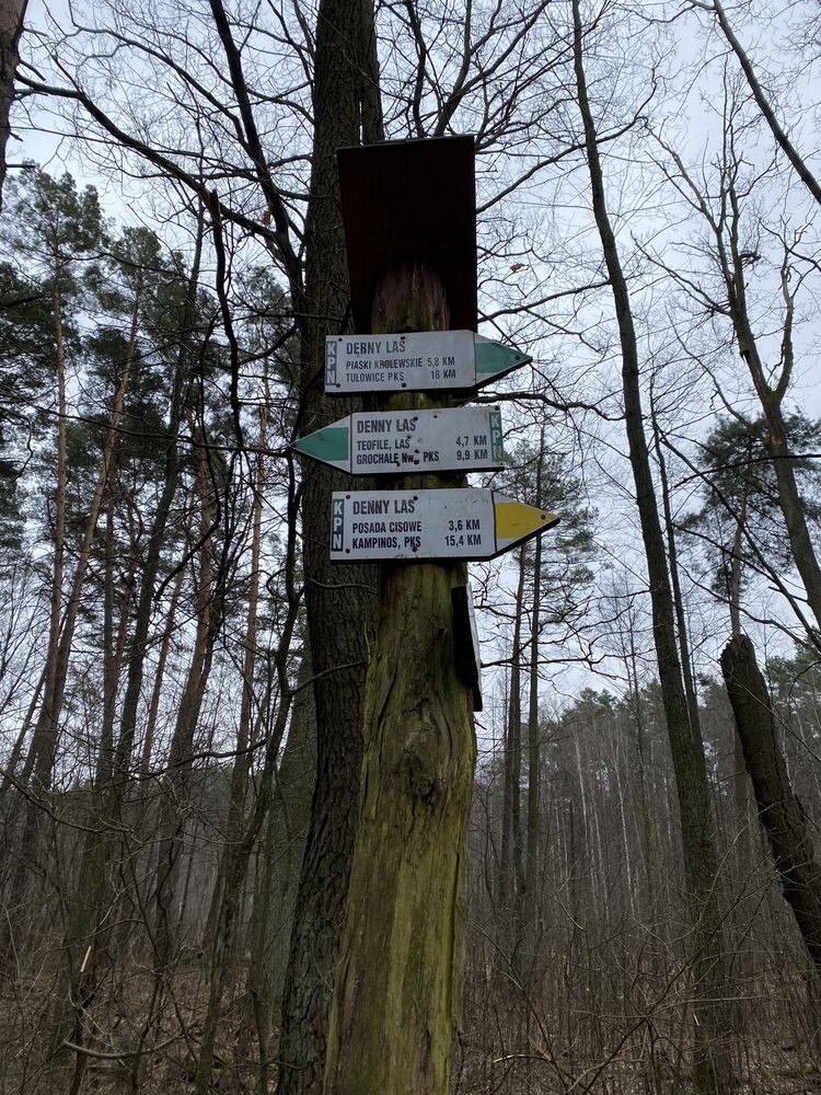
22,2 km uroczysko Denny Las, Poleskie Dęby
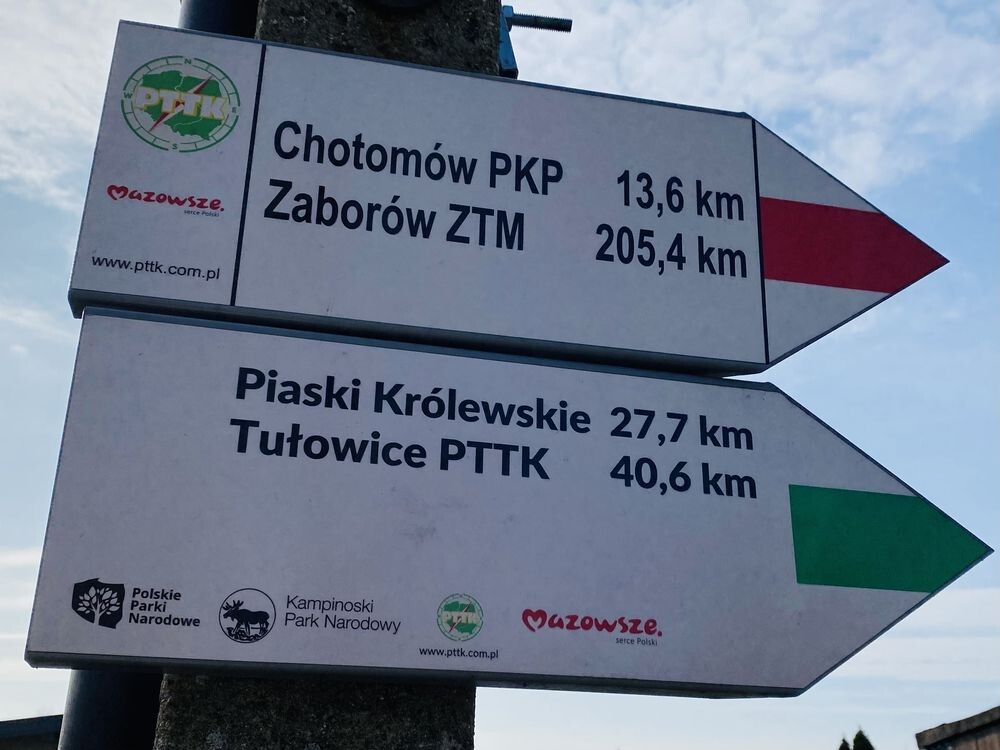
28,0 km Piaski Królewskie
30,2 km Piaski, PKS
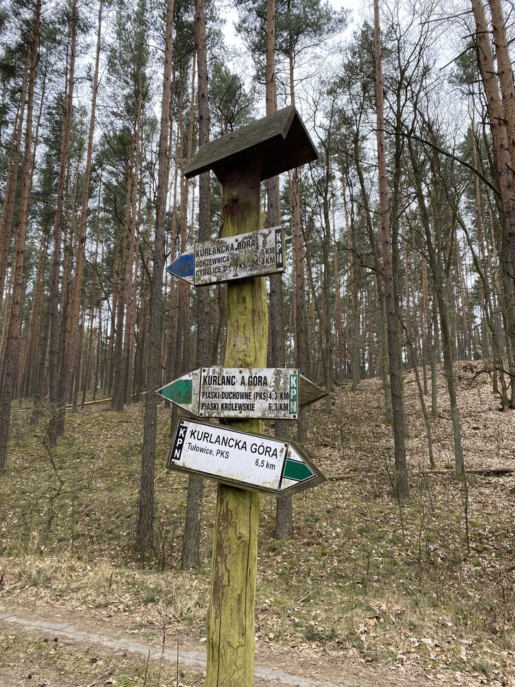
34,5 km Kurlancka Góra koło Kromnowa
39,1 km Wilcze Tułowskie
41,0 km Tułowice, PKS