Location
Wyoming,
US
Distance
4.6 mi
Vertical Gain
2,651 ft
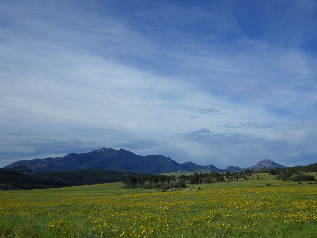
Description
GPS Track
Laramie_Peak.gpx1.75 MB
FKTs
Female
Mixed-gender team
| Allison Johnston | 1h 18m 8s | ||||
| Jess Wedel | 1h 19m 43s |
| Tiffany Sink, Scott Sink | 1h 35m 8s |
Male
Female
| Patrick Baumann | 1h 44m 58s | ||||
| Matthew Matta | 1h 48m 29s | ||||
| Andrew Decoteau | 1h 58m 2s | ||||
| Rob Lopez | 2h 3m 42s |
| Allison Johnston | 2h 12m 2s | ||||
| Jess Wedel | 2h 23m 42s |
Images


Comments
We (Scott and Tiff Sink) will be making an attempt on Saturday, June 13, 2020.
Great time for the Sinks! I got on today to create the route and lo and behold someone beat me to it. Great job you two.
Great time for your up and back! We were trying to put Wyoming on the map.
At some point, definitive start and end points for this route should probably be established. It appears that at least 3 different combinations of start/end points have been used by FKT holders on this route.
The Strava segments for the ascent and descent essentially use the Laramie Peak TH sign for the lower endpoint. This seems to make sense. There is also a small side trail that leads from the Friend Park Campground and connects up to the main peak trail about .3 miles east of the main peak trailhead. It adds a small amount of distance and elevation gain. This side trail is shown on HikingProject as the start of the Laramie Peak Trail but doesn’t appear to be correct. It looks like the gpx file from HikingProject was copied over to this website. This track also cuts out a few switchbacks as you can see by overlaying the file on the Suunto Movescount heatmap. The map shown on the Forest Service website appears to be more accurate.
The upper endpoint is more difficult to figure out. There is a group of antennas and structures on the summit. I talked to a ranger who said these are privately owned but not off limits to the public. That being said, there is a warning on at least one of the antennas for radiation, for what it’s worth. The Strava segments stop well short of the true summit, and probably rightly so, as many people who run this peak never bother with the actual summit which involves some boulder hopping and scrambling. The guy who has the CR on the Strava ascent didn’t appear to go to the true summit. If this segment is going to be the default ascent FKT then it wouldn’t reach the summit either. Of course, Strava segments aren’t perfect and it may make more sense to have a physical endpoint/turnaround for this route, such as the small building on the left side of the summit area that is slightly past the Strava endpoint, the antenna that requires some scrambling, or the true summit farther past that.
PSA: I recommend starting this route early in the day as storms are likely midday during the summer. Also, it's about 30 miles on relatively slow dirt and gravel roads to get to this trailhead. Ideally, you would camp at USFS Friends Park Campground, which is close walking distance to the trailhead.
Weather was perfect on the ascent (temperature in the mid 60s). Then, I got caught in a vicious hail storm near the top on the descent. Hail hurt. Lightening overhead. I got completely soaked and it felt freezing cold (probably in the upper 40s). Trail became a river. Completely different conditions that appeared very quickly.
There are a couple boulder rocks with overhangs you can seek shelter under about midway and 2/3 the way up.
I came face-to-face with a black bear when rounding a corner near the bottom. Fortunately, it turned around and scampered away pretty fast.
Excellent route! Loved it! I'd like to return someday.