Location
Wyoming,
US
Distance
7.27 mi
Vertical Gain
1,703 ft
Description
GPS Track
Med_Bow_Peak.gpx531.35 KB
FKTs
Male
Female
| Derek Lyford | 1h 10m 52s | ||||
| Andrew Pontbriand | 1h 16m 34s | ||||
| Harrison Redepenning | 1h 24m 11s | ||||
| Walker Stone | 1h 48m 52s |
| Jody Sanborn | 1h 51m 56s | ||||
| Katie Fromuth | 2h 3m 25s |
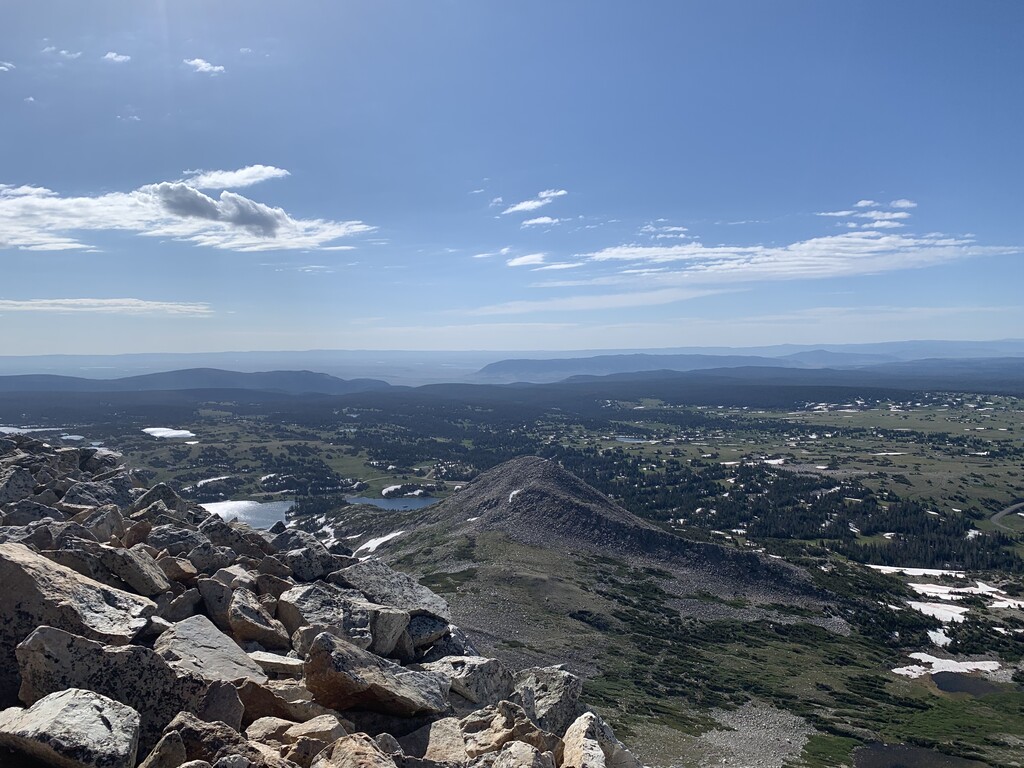
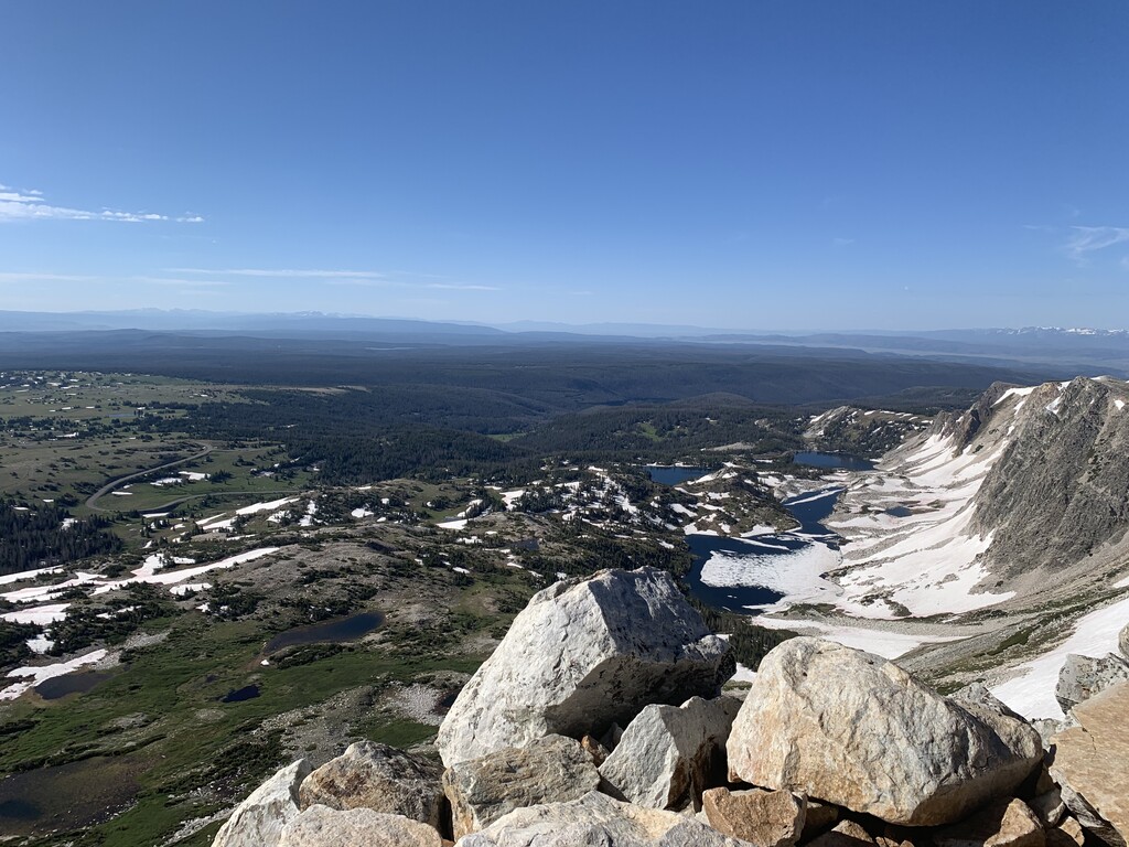
Images
Comments
True FKT of this route is Grayson Lowe at 1:33:15 here is his strava track
https://www.strava.com/activities/3816283751/segments/27225489489436938…
I am attempting the Medicine Bow Peak Loop FKT tomorrow, October 8th, 2020. Wanted to share to let everyone know.
I completed the Medicine Bow Peak loop FKT on October 8th, 2020. Linked below is my strava post with time, splits, and map of the course.
https://www.strava.com/activities/4170241884
https://www.strava.com/segments/24986279?filter=overall
For future attempts, here's the best way to navigate the Mirror Lake Picnic Area near the end of the route: heading counter-clockwise around the Medicine Bow Peak loop, you'll encounter a fork in the trail just before you reach the paved picnic area roads. Take the left fork straight down to the road and then follow the road in the direction of traffic to the paved trail on the right. This paved trail runs adjacent to Hwy 130 and takes you back to the start.
Correction to the comment above: I meant clockwise around the Med Bow Peak loop.
As of 7-23-21, Derk Lyford appears to have the current FKT with an elapsed time of 1:10:52. Derk may still submit the FKT to the website, but I figured I would post this for anyone looking to attempt the route in the near future. Here's a link to his effort. Also, I think it's worth mentioning that Derk started and ended at the West Lake Marie Trailhead, instead of using the vague social trail just south of the actual trailhead that others have used to start previous attempts. I think Derk's approach to the start is preferable because it eliminates erosion and the perpetuation of social trails.