Location
Ohio,
US
Distance
36 mi
Vertical Gain
3,000 ft
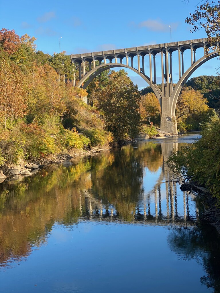
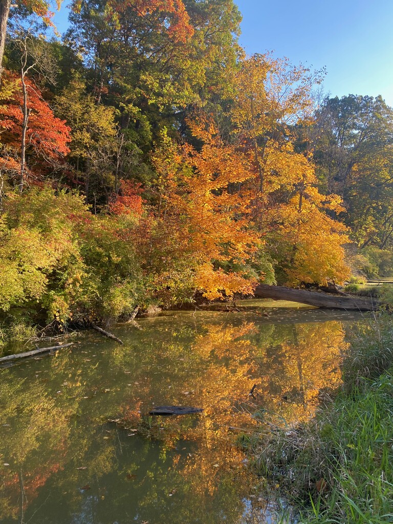
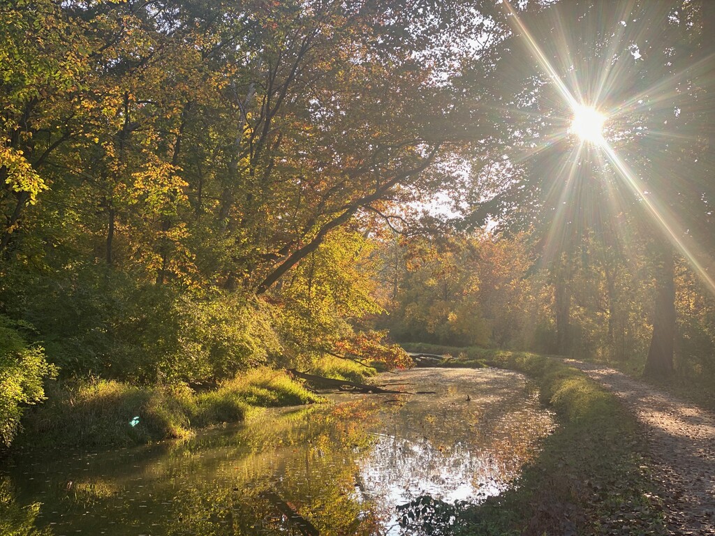
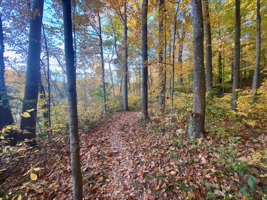
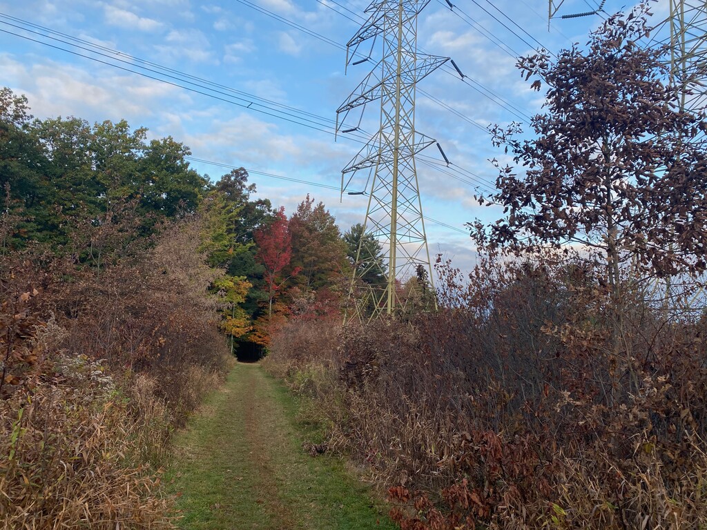
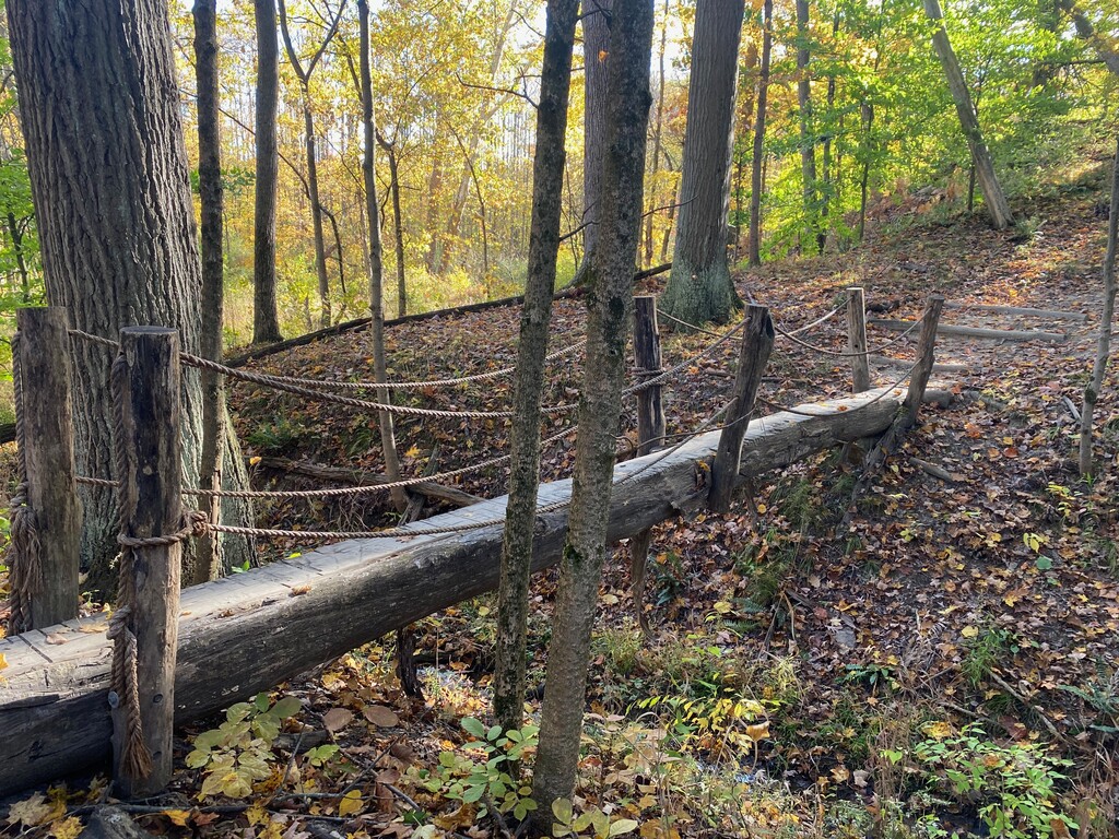
Description
GPS Track
FKTs
Male
Female
| Jackson Brill | 5h 8m 27s | ||||
| Daniel Santana | 6h 38m 3s | ||||
| Ben Stefanski | 7h 11m 26s |
| Alex Wang | 6h 27m 26s |
| Alyssa Roberts | 7h 41m 8s |
Images
Comments
Ben, were you the author of the trans-cuyahoga-valley-national-park-oh which was very similar to this route? That route was removed (without any attempts) after this one was published.
The description says that this route makes use of the Ohio Erie Canal Towpath [Trail] OECTT and spends a considerable amount of miles following the Buckeye Trail. An interesting fun fact: The Buckeye Trail uses the parts of the Towpath you were on, so even though the towpath is not blazed, you were still on the Buckeye Trail. I see a few times you left the Buckeye Trail:
1. South of Alexander Rd, this route follows the the north Sagamore Creek Loop to Valley View Rd. The Buckeye Trail follows the Metro Parks Hike and Bike trail for a short distance (0.1 miles) then foot path passed Linda falls to Sagamore Rd, then follows Sagamore Rd to Valley View Rd.
2. I can't tell for sure, but you may have followed the old route of the BT just south of the turnpike. That area has exposed the pine tree roots due to excessive use, so the BT has elected to relocated to the Valley Trail at that location.
3. In Peninsula, this route continued on OH-303 across the bridge then down to the Towpath. Although this was the route of the BT several years ago, the current route turns north on Locust St, west on Mill St W, follows Mill St to the Lock 29 trailhead parking lot, then joins the towpath to go south across the river and under OH-303.
4. This route turns left on Deer Run Trail and ends abruptly at W. Bath Road. The BT turns right on Deer Run Trail, passes through the trailhead parking lot, descends via switch backs to W. Bath Rd, crosses W. Bath Rd, meanders behind a barn and near Yellow Creek to return to W. Bath RD., where this route ended. From there the Buckeye Trail continues on east on W. Bath Rd to the Towpath Trail, then south on the towpath trail to the Botzum Trailhead at the southern extent of the Cuyahoga Valley National Park.
I don't want to in anyway disparage your effort, but I have to say that I was excited about the original route that was proposed, which I believe followed the Buckeye Trail from the northern extent to the southern extent of the CVNP. It's convenient that there are parking areas at both limits. I think it's also fair to say that using the BT exclusively, is a better way of defining a particular route - the description of the route would be described in the Bedford and Akron Sections of the Buckeye Trail available on weatherproof paper or electronic pdf through Avenza, or runners could follow along with the Guthook Ap. I should note that the trail was recently rerouted just south of Blue Hen Falls which I see you found out based on your track. Having said that, the quandary I have is this, should there be another route established that does follow the BT exclusively from point to point? I welcome a conversation and I am curious why you chose to follow the Deer Run trail down the steps and end at Bath Road.
PS Great Photos
Randall Roberts
Buckeye Trail Association Trustee
Hello! This is a great route and I was going to take a stab at it after doing a good bit of CVNP trail running this winter, but had a couple of questions.
1) for Randall: is there a reason the BT uses Sagamore Rd to get to Valley View Rd? That seems less desirable than Ben's use of the Sagamore Creek loop.
2) Otherwise, I agree that following the BT would generally be a better idea. I would rather take the counter-clockwise route at Deer Run, cross Bath, do the little bit of BT trail south of Bath, and then take Bath Rd down to end at the Bolzom trailhead, which I think makes for a slightly better CVNP traverse route. I'm 50% confident i could do that route faster than Ben's original route time. Any idea how FKT bylaws work? If I do a slightly longer route faster, can that set a new FKT and re-establish the route for future use to better follow the BT and end at a better logistical endpoint?
Reconned the top section and didn't realize that the BT is mostly trail down to Sagamore Rd. I'm just planning on using the BT from Bedford to the Bolzom trailhead this weekend for an attempt.
Gave it a go yesterday but came up a couple minutes short. Started with 4 guys and followed the Buckeye Trail all the way down, which looks like it adds ~ 0.5 mile to the top portion to Station Rd compared to the Sagamore Creek Trail. One guy dropped off at mile 10 and another at ~ 16 and two of us finished the route. Added about a mile due to navigational error by Deer Lick Cave and super muddy in the middle section between Station Rd and Penninsula made for slow going. Garmin/user error had me misinterpreting the available time until it was too late to gain it back. Super fun day, regardless. Will give it another go when it's dryer. Spring is probably not the best season for this one...
https://www.strava.com/activities/5264305393/overview
Nice work, Ryan! I just penciled in an attempt on my calendar for July. We'll see how crazy I am to try this in the dead of summer.
Dumb question. Does starting at the south or north of the route affect the final leaderboard?
You can run either direction. Go whichever way is faster!
I plan on attempting this on 8/27, starting at the Bedford reservation and ending at Botzum.
Attempted on Saturday 8/27, stopped at mile 25 1/2 @ 4:28. It's a great route mostly on the buckeye trail. I'll be back another day and try again 😎👍
Plan on second attempt Sunday 9/4. Starting at Bedford reservation and ending at Botzum.
The Buckeye Trail in Brecksville Reservation has been altered by the park service, Southbound as you enter the Reservation on the Buckeye Trail, a major rerouting has been established starting below My Mountain until it crosses Valley Pkwy Rd. Then there is also a slight reroute as you approach Deer Lick Cave. This record is set and can not be repeated as originally run! Congrats!!!
I hope someone more familiar with the trail can submit an updated route for this awesome place so the FKT website will help continue to draw people to run here.
I see there is a gpx file from 2021. Is the route the "official" route or due to Buckeye Trail changes is there a updated route? I'm not fast but I would like to run what would be considered the official route.