Location
Connecticut,
US
Distance
16 mi
Vertical Gain
1,386 ft
Description
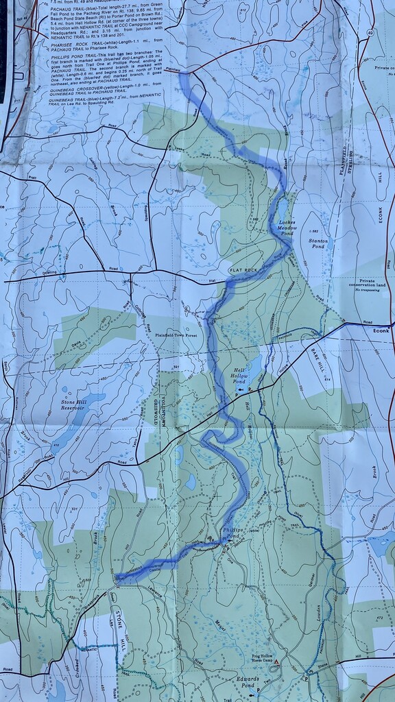
GPS Track
FKTs
Male
Female
| Ben Quatromoni | 1h 55m 48s | ||||
| Jeff Walker | 2h 18m 39s | ||||
| Robert ONeil | 2h 46m 43s |
| Celeste Fong | 4h 13m 3s |
Images

Comments
On the website for the Connecticut Forest & Park Association (CFPA), it has the southern end of the trail crossing Breakneck Hill Road and continuing on until it meets the Nehantic Trail and gives the one-way length as 8.1 miles. Liz I see on the map you highlighted it shows it ending at Breakneck Hill - just curious which is more up to date, the map or the website.
https://www.ctwoodlands.org/blue-blazed-hiking-trails/blue-blazed-hikin…
-Rob
Also a quick note - looking at the GPX file posted for this route, it goes off trail and is following some of the other roads including Trail 1 Road instead of the blue blazed Quinebaug trail.
In addition, researching on the CFPA's website a little more, they added a note on the trail map indicating that the trail was extended with a new connector to the Nehantic Trail on 10/23/2017. So the full trail now extends to the Nehantic Trail, instead of the southern end being at Breakneck Hill Road.
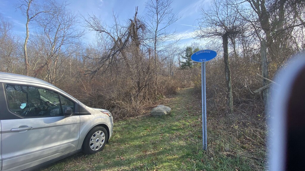
I ran a portion of the trail on 10-25-2020 (the day after the Pachaug 2020 trail race). The race route followed the blue blazed Quinebaug trail from Breakneck Hill road up to Hell Hollow Road (strava link - https://www.strava.com/activities/4242809862 or from the race, another participant their strava link: https://www.strava.com/activities/4237854763/overview)
Comparing my GPX file against the CFPA website for the trail, my route matches the CFPA trail (https://www.ctwoodlands.org/blue-blazed-hiking-trails/blue-blazed-hikin…). However comparing my route against the GPX file listed above [Quinebaug Trail (out and back).gpx], the person who was hiking the trail instead followed the road and not the blue blazes for a significant portion of the route up to Hell Hollow Road.
Thanks for the heads up! I updated the GPX and route info as discussed in the Admin Note above.
Wow Peter, I'm really impressed with how quickly you reviewed and updated that.
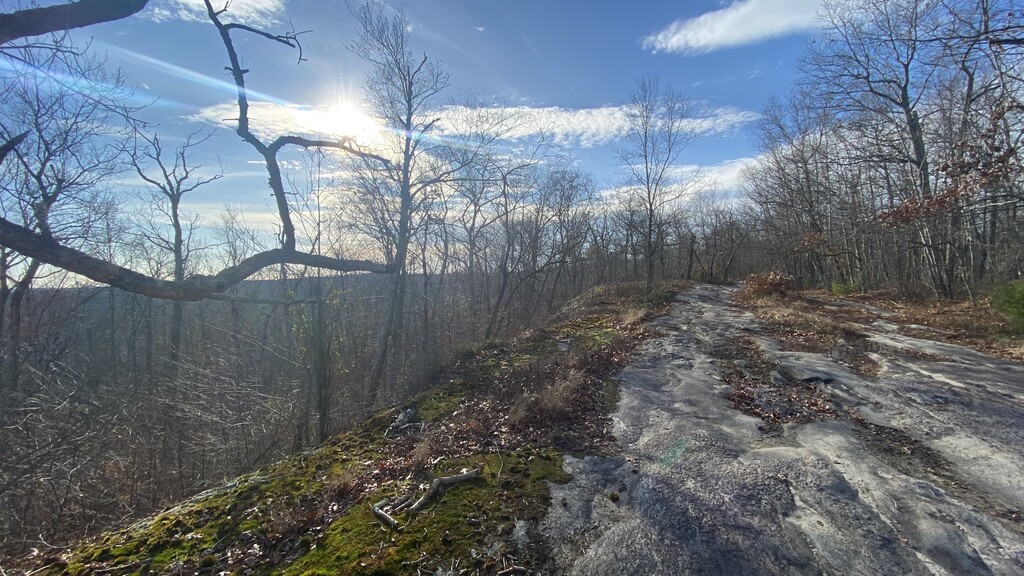
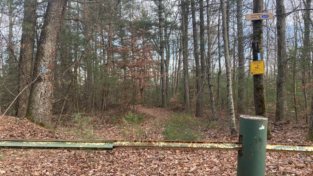
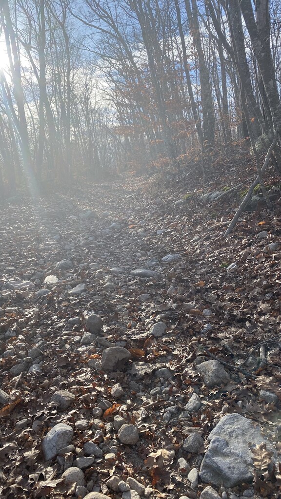
The new link is "mostly" right. I ran the course today and started to do the same mistake they did, but managed to correct myself. I can submit a corrected GPX file with my FKT submission (along with my original GPX file) - this way folks can see where the blue blazed trail goes. Its tricky in one section since it looks like a tree with a blue blaze at an intersection fell down. You can easily see the correct route easily when running northbound, but southbound its harder to see that you need to take a right. Also the trail isn't horrible...it just has some harder parts in the middle...say miles 2 to 6. But the first and last miles of the 8 mile trail are nice...as are a few bits in the middle. The hard parts are where you run on a path shared with the Enduro motorcycle trail - rocky and loose sand in some sections.
Yeah, thanks Rob. The map I used is pretty old. I guess CFPA has been actively adding onto portions of this. A friend just confirmed with me that his old trail book doesn’t even include the segment between Spaulding and 14A. Relating to the Enduro loop, it’d be nice to see CFPA now re-route the hiking trails so they’re not sharing ground with the motorcycles, but that would take a lot of time and effort.
Liz - I agree with you on the motorcycles. Also it would be nice if the CFPA's website would export the tracks as GPX files or something else useful rather than only being able to view it online. For my run I took a number of zoomed in screenshots and assembled them into one large map and used some software to get that into Gaia GPS (details here if anyone is interested: https://help.gaiagps.com/hc/en-us/articles/115003523627-Import-Non-Geor…)
Congratulations Jeff Walker! I was wondering if anyone doing the Boarder Patrol Challenge would just go a little further and to the full trail. It's too bad the event organizers didn't realize that they weren't having people do the full trail as part of the race. I think you came up with the best way of accommodating both the FKT and the race series goals.