Location
Pennsylvania,
US
Distance
35.5 mi
Vertical Gain
4,700 ft
Description
GPS Track
Gap to Gap.gpx155.12 KB
FKTs
Male
Female
| Lyle Cordes | 6h 21m 1s |
| Pat Heine | 6h 49m 18s | ||||
| Ryan Espulgar | 9h 57m 34s |
| Felix Arizona | 9h 31m 10s |
| Kathleen Cusick | 9h 16m 0s |
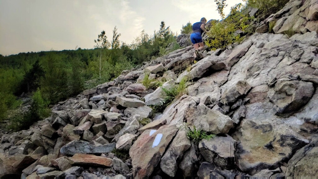
Images


Comments
I might try this one tomorrow (4/18/21) depending on how I feel (not been feeling too great). If I do, I will go the standard route, south to north. It will be self-supported and I will drop aid in Wind Gap.
I will be attempting the Supported FKT on Sunday 8/1. I will go the normal south-north route and have crew meet me along the way.