Location
California,
US
Distance
22.6 mi
Vertical Gain
1,529 ft
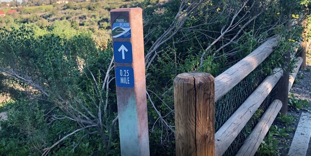
Description
GPS Track
FKTs
Male
Female
| Gordon Clark | 2h 19m 33s | ||||
| Eric Tutterow | 2h 37m 0s | ||||
| Cameron Kruse | 3h 33m 45s | ||||
| Christophe Stahl | 5h 21m 45s |
| Rachel Entrekin | 2h 54m 4s |
Images


Comments
Did this over the weekend. Thanks for setting up the FKT Chris! A few other routing notes that I would have found helpful:
Thanks Cameron for adding notes and congrats on beating my time! Good points because Kenneth Hahn and Culver City park are a bit of a maze and like you said the turnaround is easy to miss if you are tempted to look at the waves. I put less details on this route than I usually do since there was some info available from the County already.
Nice work, guys. Going to give this a shot soon. Does it matter which end of the trail I start on?
Looks like you blew it out of the water! I don't think the direction of the run really matters on this segment, but Chris was the one that set it up so I'll defer to him. You should make an out and back strava segment with your route. I'm curious how others will fare even if they don't post to FKT.
Hey Eric and Cameron. Sorry for the delay with my answer, the FKT site does not send notifications yet, or maybe I didn't see it. Anyway, for an out and back I think the general rule is that you can start at any end since the total distance and vert will be the same.
Good job guys! I was happy to see this nice piece of trail open in the middle of LA!!!
Hey Chris, Could this FKT be done one way?
Hi Koby, sure, why not. I've seen out and back FKTs with one way record. You could just submit the route of your choice and your time.