Location
California,
US
Distance
16.38 mi
Vertical Gain
4,416 ft
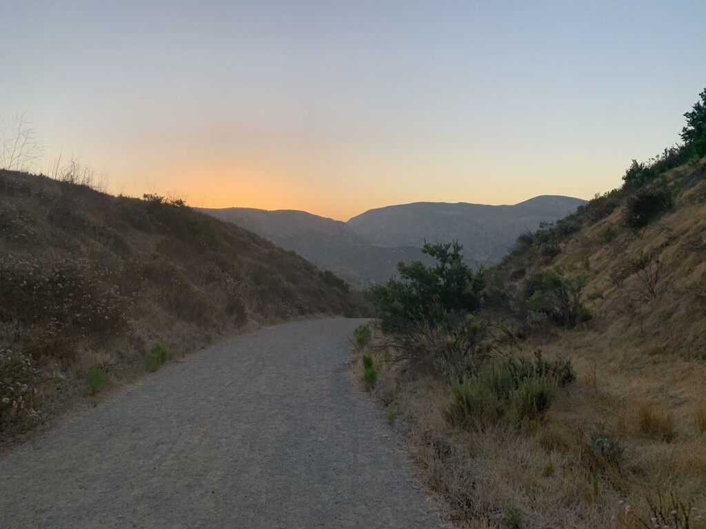
Description
GPS Track
Five_Peak_Challenge.gpx1.9 MB
FKTs
Male
Female
| Chad Hall | 2h 17m 38s | ||||
| Makai Clemons | 2h 27m 33s | ||||
| Eric Batchelor | 3h 9m 59s | ||||
| Maxwell Pfleiderer | 3h 20m 30s | ||||
| Allen Laben | 3h 57m 0s |
| Jade Belzberg | 2h 49m 14s | ||||
| Margaret Link | 4h 20m 13s |
Male
Female
| Eric Batchelor | 6h 56m 8s | ||||
| Tim Glickman | 7h 28m 24s |
| Victor Maisano, Alex Sakelarios | 11h 20m 8s |
| Alyssa Clark | 7h 25m 50s |
Male
| Forrest Dollins | 20h 27m 42s | ||||
| Victor Maisano | 22h 27m 52s |
Images
Comments
Meant to post this yesterday, but forgot in the craziness of Halloween yesterday. I’m planning on running this route in about 20-30 minutes...
Planning on running this route on 11/21/2020
Planning to run this tomorrow 4/26/21. Plan is to run out and then reverse back the same route, not sure if that is an official "double" loop or not.
Hello! I plan on attempting to set the women unsupported record on the 5 peaks challenge tomorrow ( June 27 2021 )