This route is located in the Olympic National Forest. It consists of two connected loops and is approximately 33-35 miles in length with 12,000 feet of vertical gain. There is some scrambling, a bit of navigation involved, and somewhat unmaintained trails. There are some water sources along the route. Approximately 8.5 miles of the route are on Forest Road 2880.
To get to the Upper Dungeness Trail Parking Lot, take US 101 near Sequim Bay State Park, turn west onto Luella Road and then left onto Palo Alto Road. In 6 miles, turn right onto Forest Road 2880 and then turn left onto Forest Road 2870 in 1.7 miles.
Park in the Upper Dungeness Trail parking lot and basically complete two separate loops. You return to the parking lot after first loop and before/after second loop.
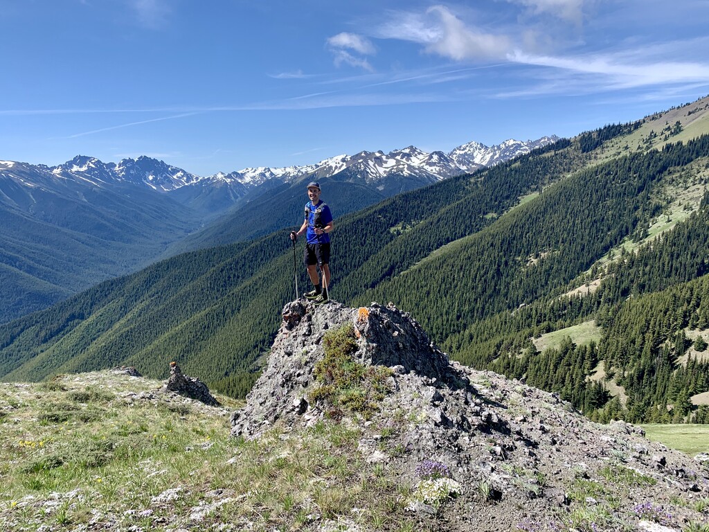
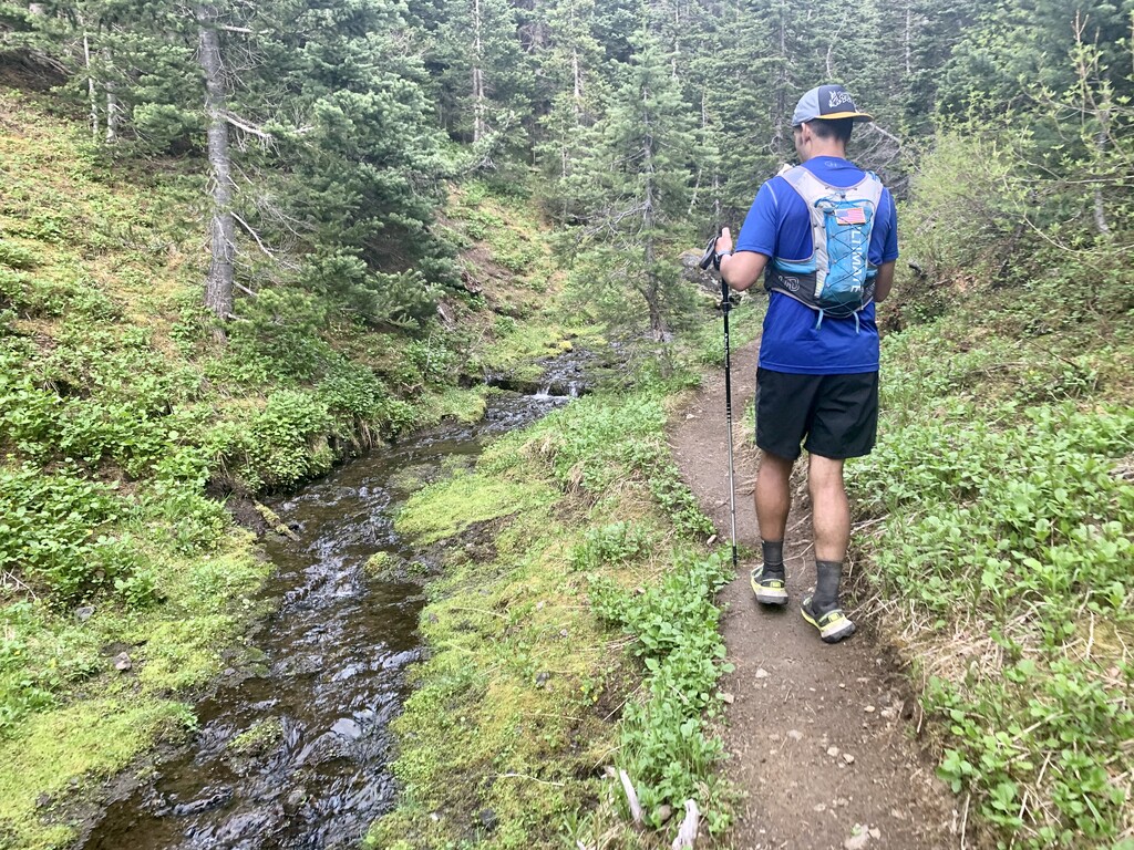
Begin the first part of the route where you will begin with a summit of Tyler Peak. Run from the parking lot to the Upper Dungeness Trailhead. Stay on the Upper Dungeness Trail for about 1 mile. Take a right onto Royal Basin Trail and then almost an immediate sharp right onto Maynard Burn Trail 816 (Lower Maynard Burn) and begin a steep climb through the forest. This trail is not well maintained so may be some overgrowth. Once you come up out of the forest, you will cross Mueller Creek then turn to right. Follow a decommissioned logging road for approximately half a mile then take a sharp left turn onto Tyler Peak Way Trail.
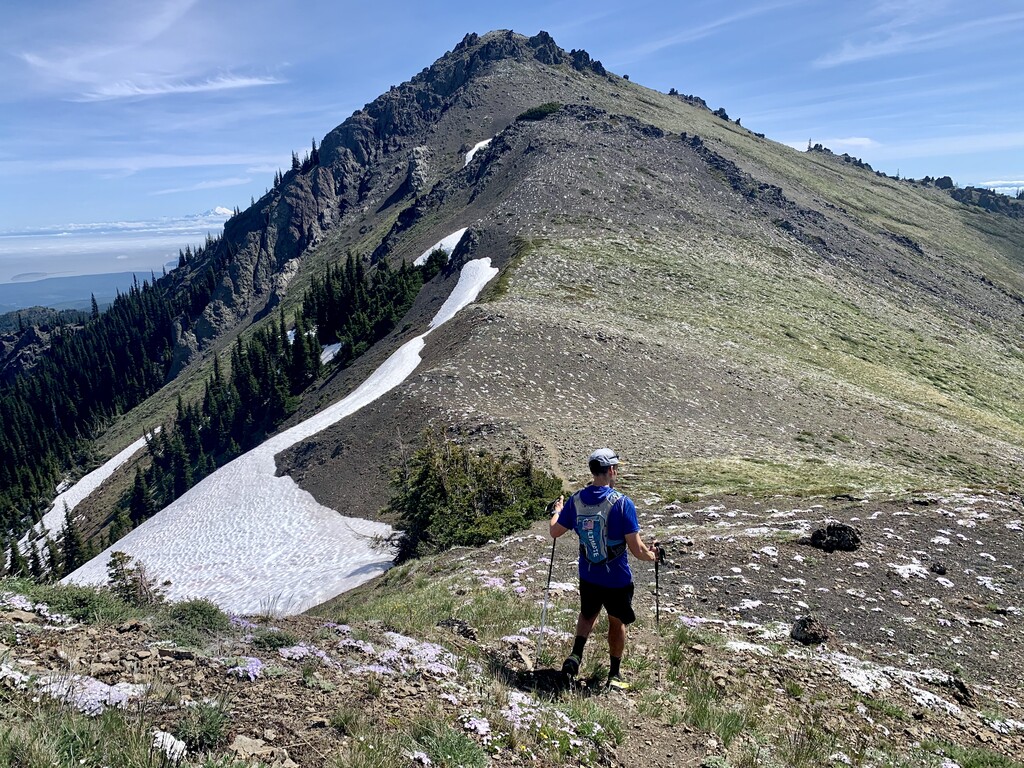
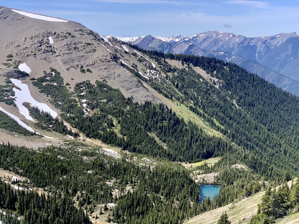
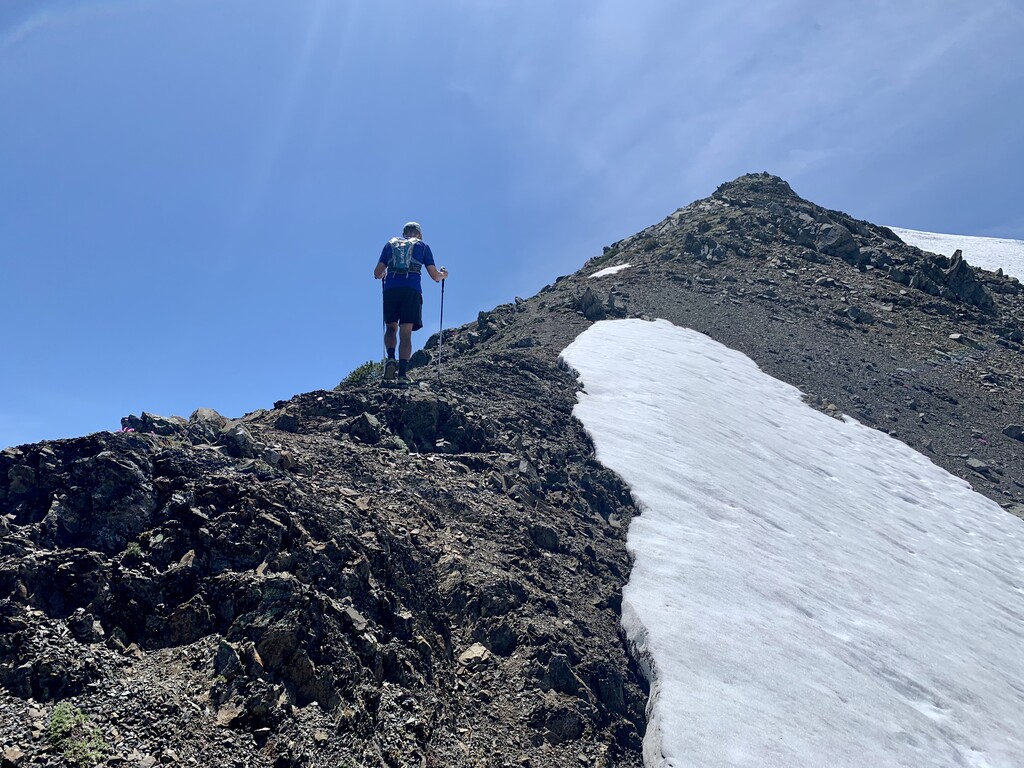
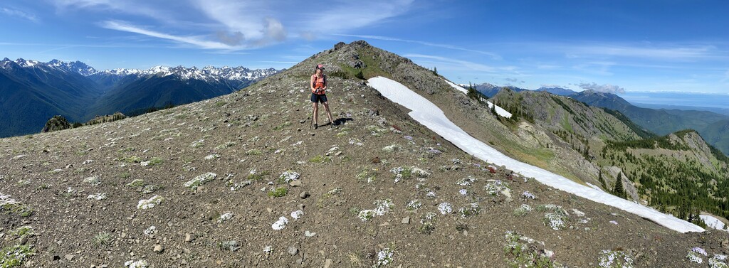
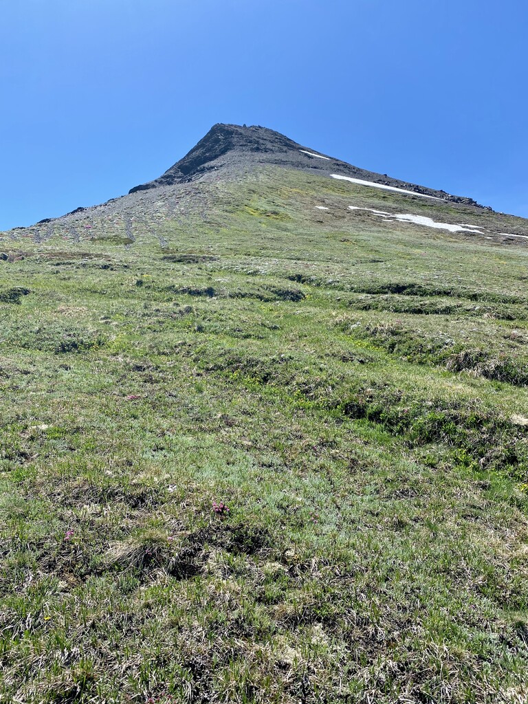
Tyler Peak Way Trail is fairly easy to navigate until you get up into the clearing. Once this happens, stay to the right and follow trail to the right until you get close to Tyler Peak where you will have to do some minor scrambling up to the summit. From here, you descend the same way you came but then follow ridgeline to the right to hit Peak B; navigation here can be a bit tricky and having GPX tracks is definitely an advantage. From Peak B, continue along ridge line and follow trail up to Mount Baldy.
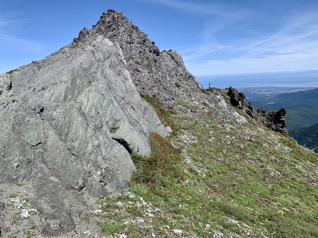
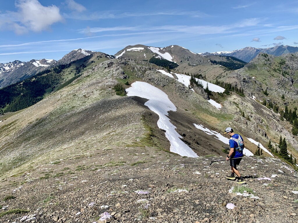
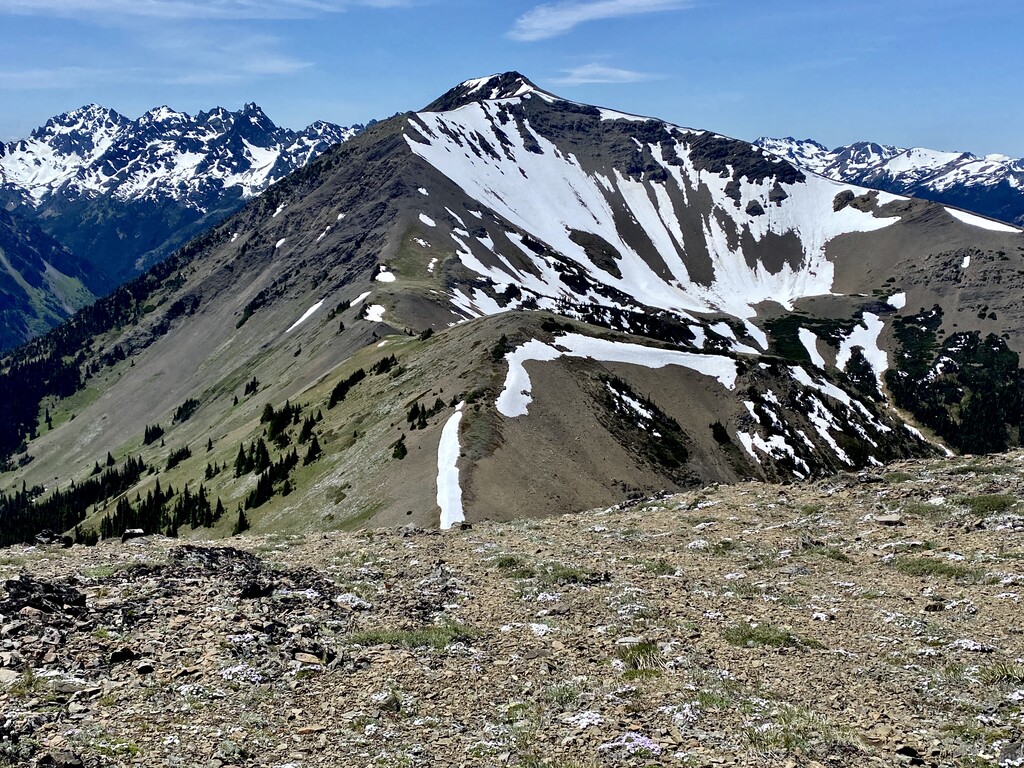
Once you’ve summited Mount Baldy, there is quite a bit of scrambling to get to Gray Wolf Peak and back to Baldy. You basically scramble down, follow along a bit of an obvious trail, scramble up, then do this in reverse. We completed the route in mid-June so snow was not a major issue but not sure how accessible Gray Wolf is in this direction at other times of the year. Use caution and be prepared.
Once you descend Mount Baldy for the second time, you will take the first right onto Upper Maynard Burn Trail. The trail is quite worn away near the lower portion and fairly steep. Follow along for several miles before you take a sharp right onto another decommissioned logging road. Follow this back to the entrance to the Lower Maynard Burn Trail that you came up before. Take this trail to the bottom, turn left back onto the Royal Basin Trail then a quick left after that back onto the Upper Dungeness Trail. The parking lot is about 1 mile from here.
This is approximately half way through the route. It is end of first loop and beginning of the second loop. If you are doing a self-supported FKT, this is a great spot to use your vehicle as an aid station.
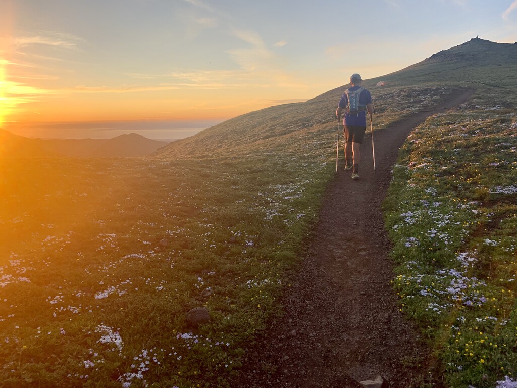
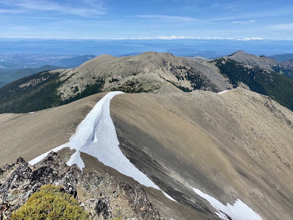
For the second loop, you will basically head out of the parking lot on the road in the opposite direction from which you drove in. This is Forest Road 2870. It is about 5 miles from here Silver Lakes Trail Head on the left hand side. Follow Silver Lakes Trail #842 to Mount Townsend Trail #839. There will be a junction and you will go to the left. Stay on here until the next junction where you will go to the right to reach the summit of Mt. Townsend. Follow along to the summit. Run over the Summit and along ridge until you see the trail veer to the left. Take this left. For a variation and another view, you could go straight along the ridgeline to the end (this would be an out and back). Continue on Mount Townsend Trail and eventually it turns into Quilcene Trail #835. This is a steep descent and will end up back on the Forest Road 2870. From here it’s less than 4 miles back to the parking lot where you started.


Comments
What a fantastic route. I had so much fun attempting this -- it tested and humbled me (as the mountains always do). As the route description mentions, you can easily use your car as an aid station at the trailhead to resupply which is what I chose to do so I could travel lighter and swap out into a less technical shoe for the climb up Townsend. Thanks again Tabatha and James!