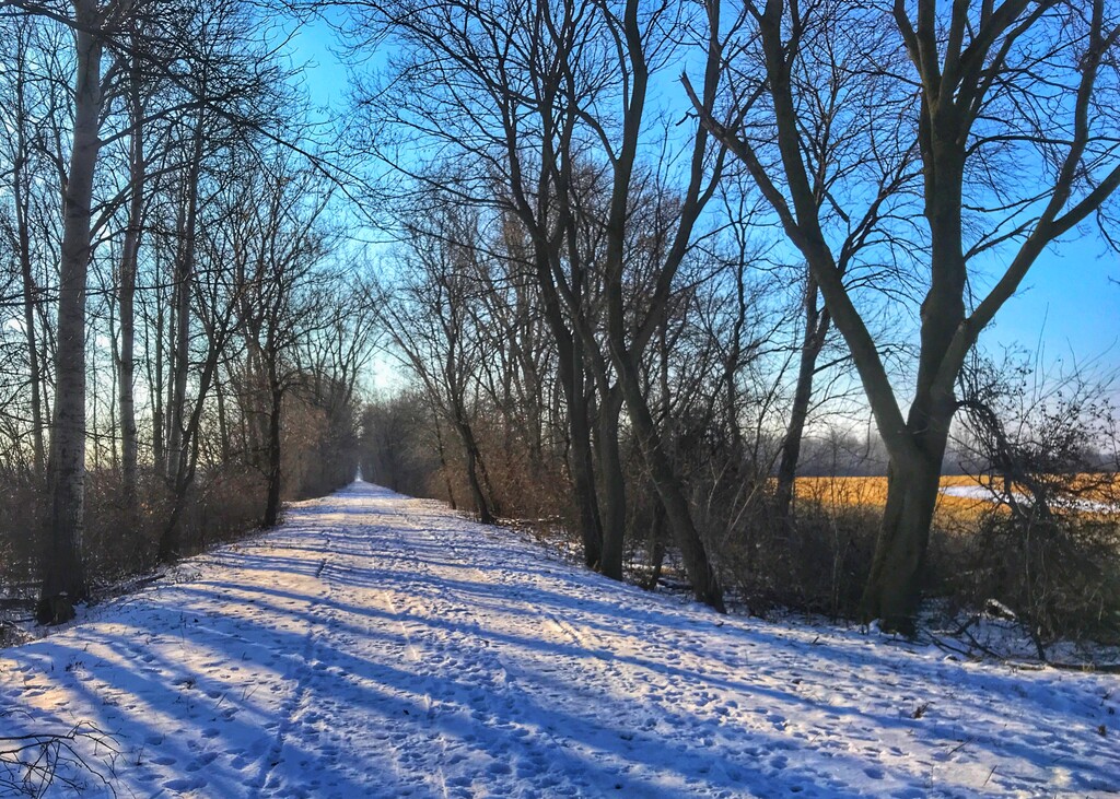
Location
Wisconsin,
US
Distance
22.75 mi
Vertical Gain
161 ft
Description
GPS Track
FKTs
Male
Female
| Craig Mason | 2h 52m 2s | ||||
| Tony Dirth | 2h 59m 25s |
| Andrew Turner | 2h 59m 51s |
| Christopher Luebke | 3h 14m 53s | ||||
| Andrew Huntoon | 3h 25m 46s |
| Emily Neumeier Arkens | 3h 56m 22s |
| Christine Bell | 4h 50m 59s |
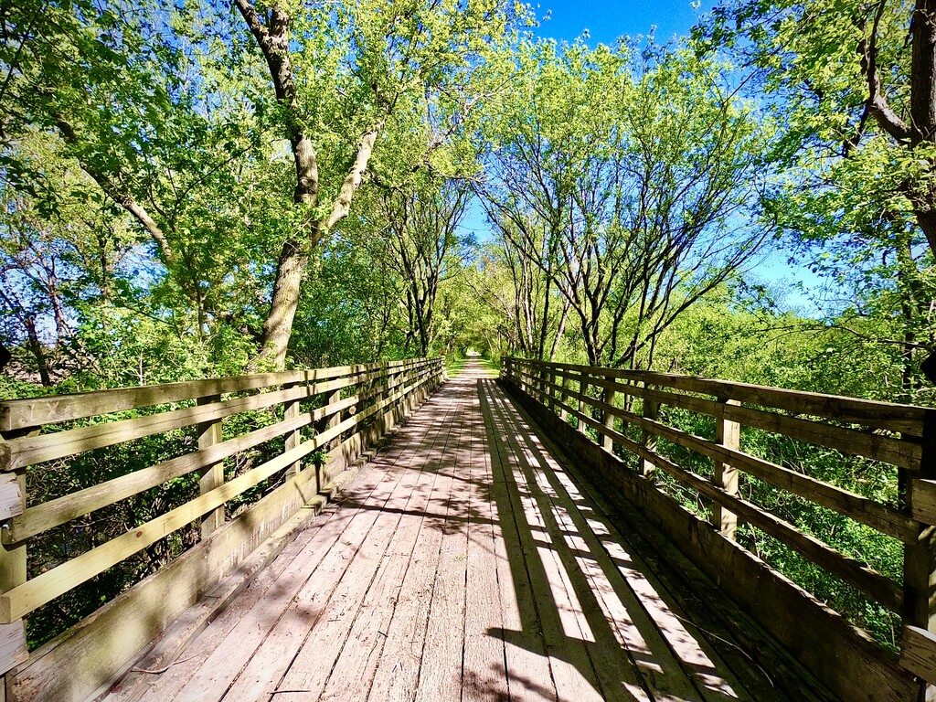
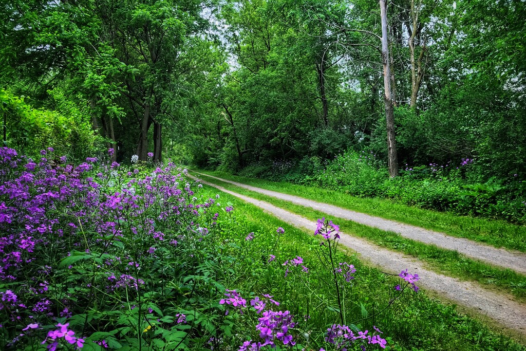
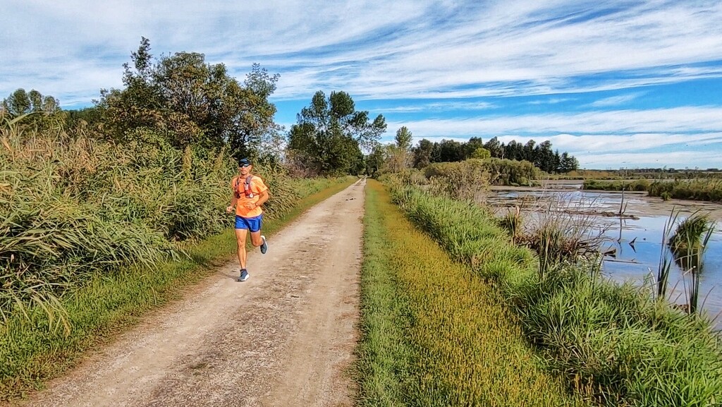
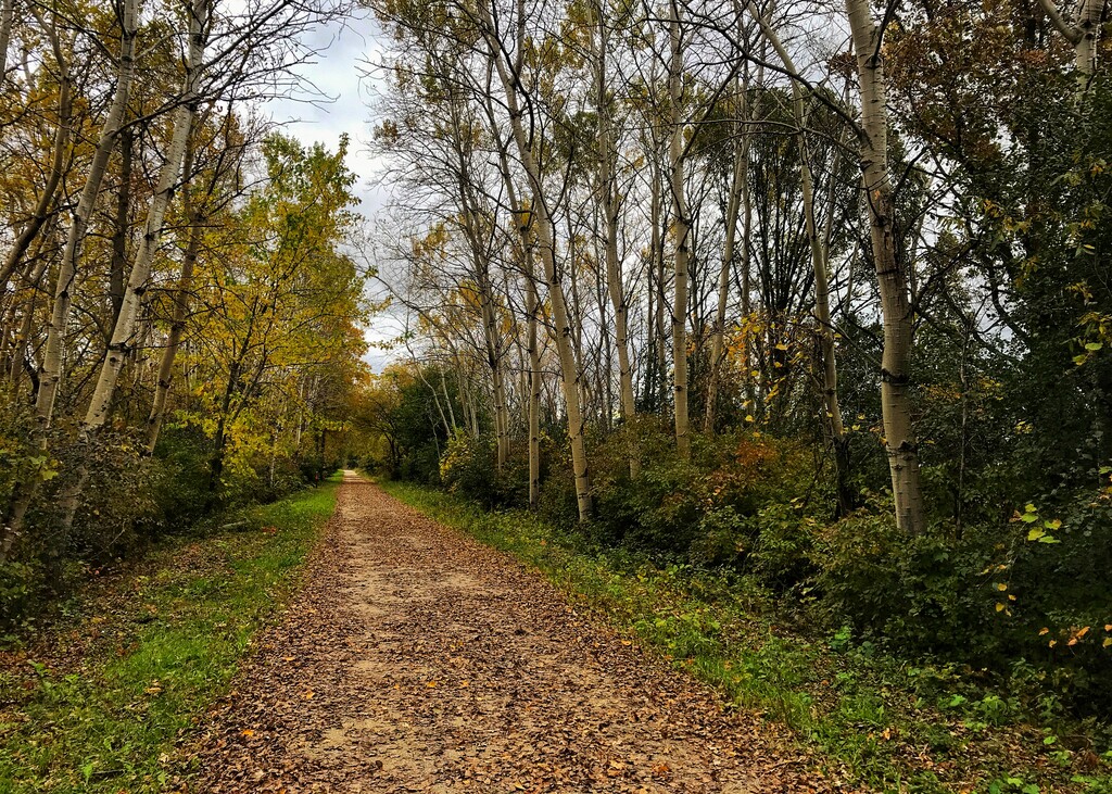
Images

Comments
I hope to try beating the FTK for this route on Saturday, October 1, 2022.
Plan to leave Hortonville, WI at 7:00 am.
Arrive in Oshkosh, WI at 10:23 am
Unsupported attempt