Location
Colorado,
US
Distance
7.2 mi
Vertical Gain
920 ft
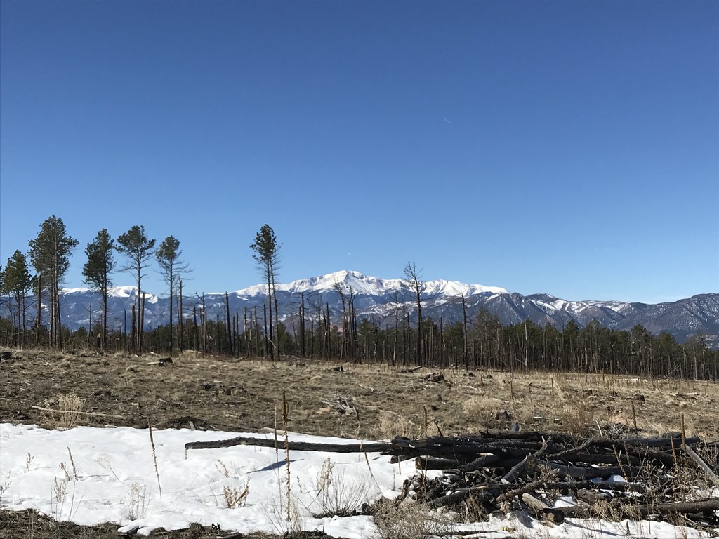
Description
GPS Track
Black-Forest-Regional-Park.gpx101.96 KB
FKTs
Male
Female
| Garrett Gardner | 44m 1s | ||||
| Bradley Duplant | 48m 33s | ||||
| Joseph DeMoor | 52m 13s | ||||
| TIm Ashford | 1h 18m 43s |
| Natalie Kalin | 55m 2s | ||||
| Layla Almasri | 1h 0m 25s | ||||
| Audrey Andrews | 1h 22m 27s |
| Sara Aranda | 58m 54s |
Images
Comments
Planning on making an fkt attempt here on Monday, June 13, depending on how ideal conditions are.